


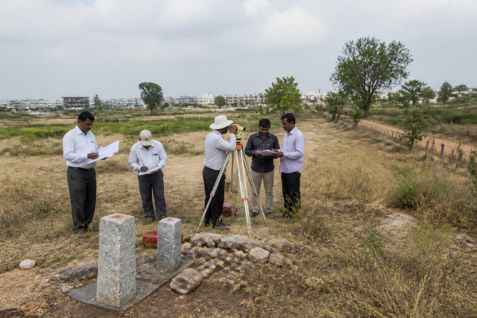
A six-decade-old Telangana land dispute between Ankireddypalli and Ramalingampalli has left ownership claims over nearly 600 acres unresolved, showing how conflicting village boundaries, survey numbers and land classifications can outlast repeated administrative interventions. The disputed parcels, estimated by local residents to be worth about ₹3,000 crore, sit across the Medchal Malkajgiri and Yadadri Bhuvanagiri districts.
The immediate controversy is not simply about who owns a piece of land. It is about which official map, survey number and district boundary should be treated as authoritative. Villagers from Ankireddypalli in Keesara mandal claim that large parts of the land are government and ceiling land that have been encroached upon. Salvo Industries Private Ltd, formerly Salve Explosives and Chemicals Ltd, rejects that allegation and maintains that the disputed parcels are patta properties acquired and held legally.
The Telangana government’s ongoing re-survey of land records across more than 2,200 villages has revived attention on the dispute. Yet the case also illustrates why re-surveying land is not only a technical exercise. A new measurement can identify physical boundaries, but resolving ownership requires the administration to reconcile historical records, village maps, revenue entries, ceiling-land proceedings, district limits and court directions.
The High Court had directed authorities to survey and demarcate the land, establish whether it falls within Malkajgiri or Yadadri district, and determine its legal nature. A field survey was conducted by the revenue divisional officer in June 2022. According to the report, however, the exercise did not culminate in a final decision made public. The continued absence of a settled record has allowed competing interpretations to remain active.
The land identified by villagers includes 295 acres in survey number 918, 20 acres in survey number 886 and 10 acres in survey number 887 of Ankireddypalli. Residents claim that the wider disputed area includes around 324 acres of government land and another 200 acres classified as ceiling land. These figures are claims made by villagers and remain part of the dispute rather than an established final determination.
The historical record cited by residents goes back to a formal survey conducted in January 1965. N Saraswathi, an Ankireddypalli resident pursuing the issue, said committees were constituted to resolve the boundary question and that the land was officially allocated to Ankireddypalli in 1966. She also said the then Nalgonda district collector confirmed the report and raised no objection to handing the land over to the erstwhile Rangareddy district.
Saraswathi further said that after the Land Ceiling Act came into force, portions of the land were allotted to eligible farmers in 1975 and land revenue was collected from beneficiaries. Villagers allege that survey number 312 of Ramalingampalli, along with several sub-survey numbers, was later created over the same land. Their contention is that this produced overlapping claims and enabled alleged encroachments.
Salvo Industries offers a different explanation. Its chairperson, A Jayaram Reddy, said Ankireddypalli survey numbers 918, 886 and 887 and Ramalingampalli survey number 312 refer to the same parcel. According to him, the dispute resulted from overlapping or re-numbered survey boundaries between the villages, rather than encroachment. He said survey number 312 had been recorded as patta land in revenue records for more than five decades and was supported by village maps.
The company has denied occupying government land and said allegations of unlawful occupation were incorrect and subject to the court’s final decision. Reddy said the company, established in 1995, had obtained the necessary permissions and clearances from authorities. He also said the company had approached the High Court for relief and clarification and had been pursuing the matter with the survey and land records department and the Chief Commissioner of Land Administration.
This divergence is significant because the dispute combines two different kinds of uncertainty. The first concerns location: whether the land lies within Ankireddypalli or Ramalingampalli and, consequently, within the jurisdiction of Malkajgiri or Yadadri. The second concerns status: whether the land is government property, ceiling land, allotted land or privately held patta land. Until both questions are resolved together, a decision on one may not settle the other.
The administrative record indicates that authorities have already identified a possible route. Government sources said the regional deputy director of survey and land records wrote to the collectors of both districts in June 2022, recommending the recognised traverse data of Keesara village as the common boundary between the two villages. The official also suggested finalising the boundaries under Sections 90 and 91 of the Telangana Land Revenue Act.
That recommendation places the problem within the state’s formal land administration framework. It also shows that the issue is not necessarily a lack of technical information. Survey officials appear to have proposed a reference point and a legal mechanism for finalising the boundary. The unresolved question is whether the two district administrations can adopt the recommendation, complete the process and publish a determination that can be relied upon by residents, landholders and institutions.
The role of district administration is particularly important because village boundaries are not only cartographic lines. They affect which revenue office maintains records, which authority handles land classifications, where taxes and land revenue are recorded, and how claims are processed. When a parcel appears under different survey numbers in separate village records, the conflict can spread across these administrative functions and make the record itself part of the litigation.
The case also reveals the limits of treating re-survey as an automatic solution to legacy disputes. Physical measurement can establish present locations, but it cannot by itself decide whether a historical allotment was valid, whether ceiling-land proceedings were completed, or whether a patta entry overrides an older government claim. Those questions require the administration to examine the chain of records and clearly state which documents prevail.
Telangana’s re-survey across more than 2,200 villages gives the state an opportunity to address such conflicts systematically. But the Ankireddypalli-Ramalingampalli dispute suggests that the credibility of a re-survey will depend on what happens after measurements are completed. If findings remain unpublished or are not converted into final boundary and land-status orders, the exercise may produce another layer of records without removing the old contradictions.
For residents, the consequences are practical. Farmers who say they received land after ceiling proceedings face uncertainty over the security of their holdings. Private landowners and companies face unresolved claims over the legal basis of their property. District authorities face the risk that decisions taken using one set of records may be challenged using another. The estimated value of the disputed land intensifies these consequences, but the administrative problem would remain even if the land had a lower market value.
The dispute therefore raises a wider question for land governance in expanding areas around Hyderabad: how should the state reconcile historical village boundaries with newer survey numbering and changing institutional jurisdictions? The supplied records do not establish whether any party has unlawfully occupied the land. They do establish that competing records have remained unresolved despite a High Court direction, a field survey and a recommendation from the survey and land records department.
Malkajgiri collector M Manu Choudary said he was unaware of the details and would examine the matter and take steps to resolve it. The next decisive development is consequently not another allegation, but an authoritative and publicly available determination of the common boundary, the relevant survey numbers and the legal classification of the land. Until that happens, a dispute that began in the 1960s will continue to expose the institutional cost of leaving land records unreconciled.
