


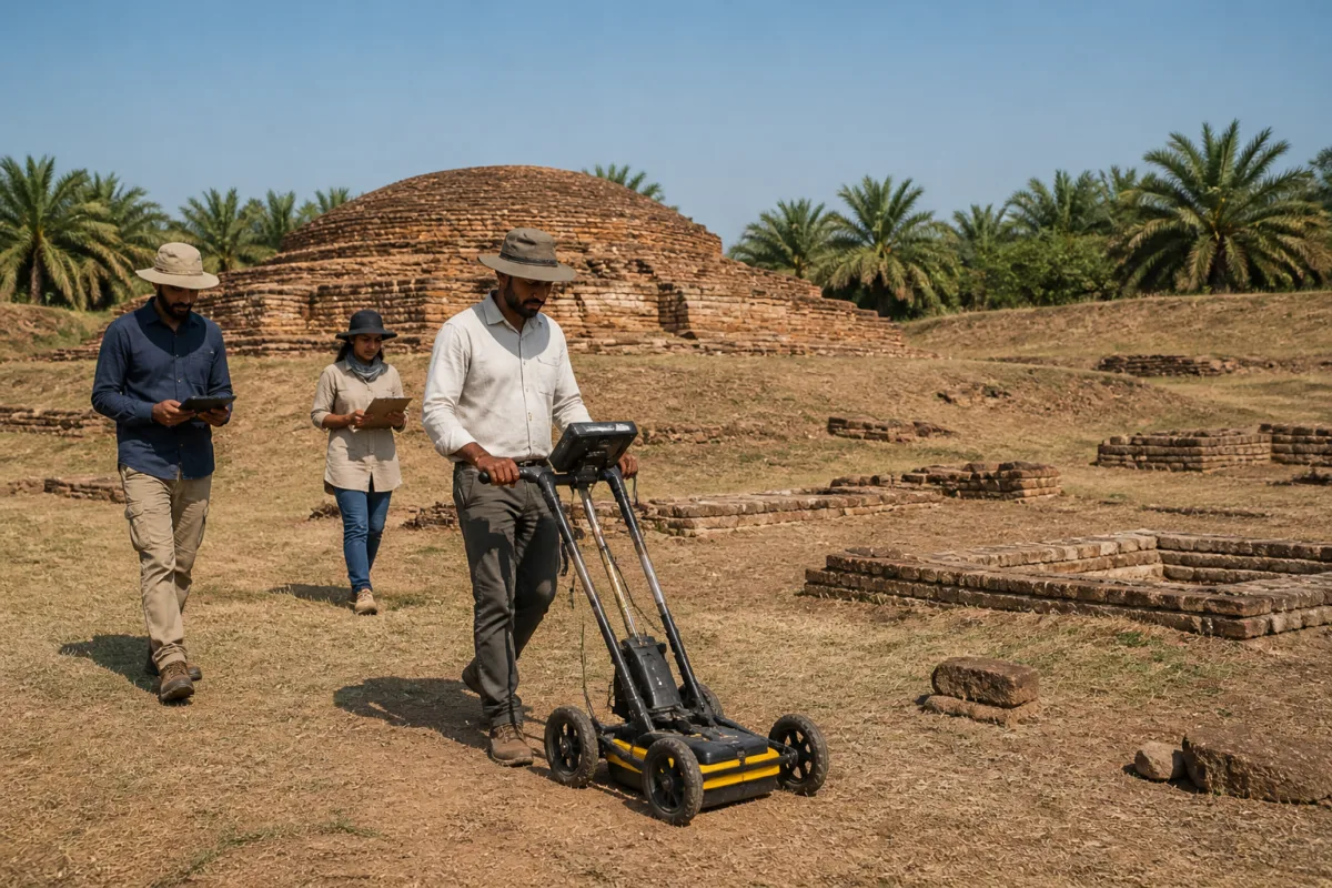
The CSIR-National Geophysical Research Institute (NGRI) will conduct a ground-penetrating radar survey at Telangana’s Nelakondapalli Buddhist archaeological site on November 21 and 22, aiming to locate buried structures and establish the extent of ancient settlements without disturbing the ground.
The survey is being carried out in collaboration with the state Heritage department and will cover three locations in Khammam district: the Buddhist Mahastupa site, the Bairagulagutta area and palm oil gardens near Bairagulagutta. The exercise is intended to provide scientific evidence for deciding where systematic archaeological excavations may be undertaken.
Ground-penetrating radar, or GPR, is a non-invasive geophysical method used to detect subsurface features. At Nelakondapalli, the technology will be used to identify possible underground brick structures, foundations, walls, buried architectural remains and other archaeological anomalies, according to the Heritage department.
At the Mahastupa site, investigators will examine areas within and around the existing Buddhist stupa complex for possible buried structural remains. The Bairagulagutta survey will focus on determining the spread of ancient habitation and identifying potential archaeological material below the surface. The third location, near the palm oil gardens, has also been included in the planned investigation.
The decision follows discussions between Heritage department director Prof. Arjun Rao Kuthadi and NGRI director Dr Prakash Kumar on conducting the scientific survey. The department said the results would help identify locations suitable for systematic excavation and support proposals for further investigation, conservation and site development.
Nelakondapalli is located about 21 kilometres from Khammam and is regarded as one of Telangana’s important early historic Buddhist archaeological sites. The settlement flourished during the Satavahana, Ikshvaku and Vishnukundin periods and developed as a centre of Buddhist religious and cultural activity in the region.
Earlier excavations at the site brought to light a massive brick-built Mahastupa, Buddhist viharas or monastic complexes, an assembly hall, residential cells for monks and other associated structures. Recent explorations around Bairagulagutta and nearby habitations also uncovered brick structures, limestone architectural fragments, terracotta beads, pottery and other antiquities.
The new survey is significant because it could help map the archaeological landscape before excavation begins. Instead of relying only on visible remains, officials will be able to assess whether additional structures survive below the surface and whether the known site extends into surrounding areas. That information can guide decisions on excavation boundaries, conservation priorities and the future development of the heritage site.
The Heritage department has not announced the full scope or timeline of any excavation programme that may follow the radar survey. Its immediate next step is to complete the two-day investigation at the three identified locations and use the findings to prepare proposals for further archaeological work, conservation and site development.

