


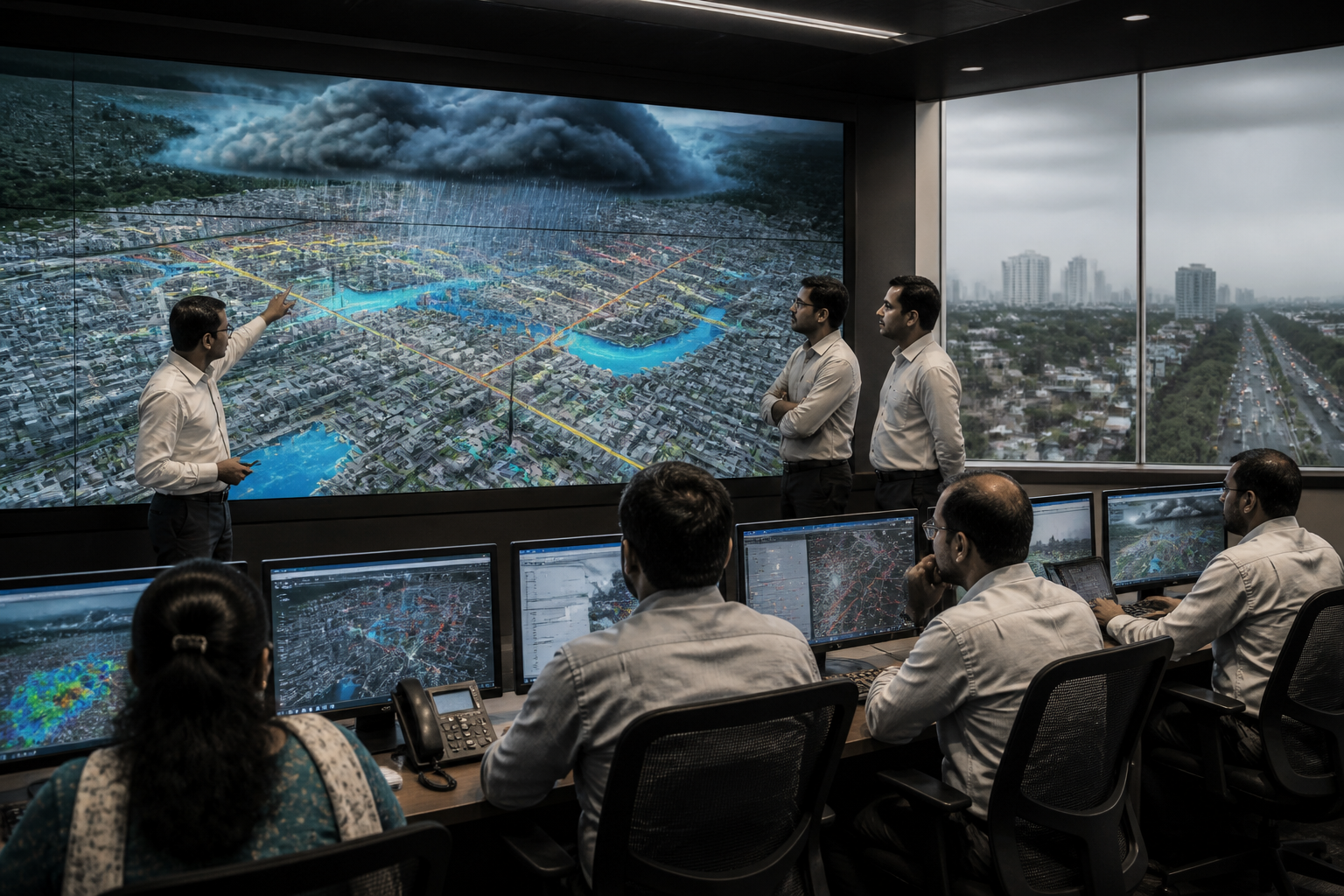
EarthSense Labs, a geospatial artificial intelligence startup incubated at IIT Delhi’s Foundation for Innovation and Technology Transfer, has developed the GeoTwin platform to help Indian cities monitor and anticipate multiple urban risks through a single digital system. Its significance lies not only in the use of artificial intelligence, but in the attempt to connect data that city administrations usually handle through separate departments and systems.
The 4D digital twin platform is designed to create a continuously updated digital representation of a city. According to the startup, it can integrate information on urban flooding, land subsidence, landslides, traffic and pollution, while recording changes over time. The proposed system combines drone and aerial LiDAR surveys, satellite imagery, InSAR satellite measurements, weather and rainfall forecasts, traffic feeds and data from ground-based Internet of Things sensors.
That architecture addresses a persistent weakness in urban administration: the risks that affect a city rarely remain within one departmental boundary. Heavy rainfall may become a drainage problem, a traffic disruption, a public-health concern and an infrastructure-safety issue at the same time. Yet the data required to understand these effects is often generated by different agencies, collected at different frequencies and stored in systems that do not automatically communicate with each other.
GeoTwin’s proposed role is to bring those inputs into one model. The platform is not presented as a replacement for municipal decision-making. Instead, EarthSense Labs says it can support routine administrative decisions by showing how the city’s physical conditions and environmental risks are changing. That distinction matters because the usefulness of a digital twin depends less on its visual sophistication than on whether its outputs can be used by the institutions responsible for drains, roads, land-use planning, utilities, traffic management and emergency response.
The flood-management application illustrates the model. GeoTwin is intended to combine weather and rainfall forecasts with geographical and ground-level information to identify areas where flood risk may be rising. The stated objective is to enable administrations to assess risk before waterlogging becomes visible on the street. The source material does not establish that the platform has already been deployed at city scale or that it has independently prevented flooding. Its current significance is that it offers a framework for bringing predictive inputs into urban planning and operations.
The same principle is applied to land subsidence. InSAR-based measurements can be used to monitor gradual changes in the ground, according to the report. Such changes may not be visible during routine inspections, but they can matter for buildings, roads, underground infrastructure and other fixed assets. A monitoring system that places subsidence information alongside rainfall, terrain and construction-related data could help institutions examine risks spatially rather than through isolated complaints or occasional surveys.
The inclusion of landslide mapping extends the platform beyond conventional metropolitan flooding. This is relevant to Indian cities and urbanising areas where construction, slope modification, intense rainfall and expanding infrastructure can interact. However, the supplied material does not provide deployment locations, accuracy rates, alert thresholds or case studies demonstrating the platform’s performance. Those details will be important in assessing whether GeoTwin can move from a promising technical proposition to a dependable public-administration tool.
Traffic and pollution monitoring also show why EarthSense Labs is positioning GeoTwin as an integrated city platform rather than a single-purpose climate application. Traffic feeds can provide information on movement and congestion, while pollution data can indicate changes in environmental conditions. When these are considered with weather and spatial data, administrators may obtain a broader picture of how transport activity, built form and atmospheric conditions overlap. The platform’s stated purpose is therefore not simply to collect more data, but to allow different forms of data to be viewed together.
That institutional design is arguably the platform’s most consequential feature. EarthSense Labs describes GeoTwin as sovereign, meaning that municipal bodies and other institutions can retain ownership of their data. The system can also, when required, be operated within an institution’s own premises. Its outputs can be connected to existing urban-planning and command-and-control systems through open application programming interfaces.
Data ownership and deployment location are practical governance questions, not technical footnotes. City administrations may be reluctant to place sensitive operational information entirely outside their control, particularly when data relates to critical infrastructure, public assets or emergency conditions. A system that allows institutions to retain control and connect the platform to existing systems could reduce some of those barriers. At the same time, the source material does not describe the platform’s cybersecurity safeguards, data-sharing agreements, procurement model or accountability arrangements. Those issues will shape whether public agencies can use it at scale.
The platform also raises a question about the relationship between technology providers and municipal capacity. A digital twin can unify information, but it cannot by itself repair a drain, regulate construction on an unstable slope, redesign a traffic junction or coordinate an emergency response. Its value depends on whether the responsible institution has the authority, staff, budgets and operating procedures to act on the information produced.
This is particularly important for Indian urban governance, where several agencies may operate within the same geographical area. Municipal corporations, development authorities, utility agencies, transport bodies and disaster-management institutions can each hold a partial view of the city. GeoTwin’s integrated model is designed around the assumption that a shared spatial picture can improve decisions. The administrative challenge will be creating the agreements and workflows needed to make that shared picture operational.
EarthSense Labs co-founder and chief executive Dr Nirdesh Kumar Sharma said cities change every day and that geospatial artificial intelligence and scientific modelling need to be connected to the routine decisions of urban administrations. Co-founder and IIT Delhi associate professor Manvendra Saharia said urban institutions need an integrated view of infrastructure, the environment and risks while keeping data under institutional control. These statements define the platform’s proposition: integration and sovereignty are being treated as equally important.
The startup is in discussions with municipal corporations, urban-development authorities and utility institutions about deployment, according to the report. GeoTwin was also demonstrated at FITT Forward 2026. EarthSense Labs received an India AI Mission Innovation Award in the climate category last year and was included among India’s top 100 AI impact startups, as reported by Jagran. These recognitions indicate institutional interest, but they are not substitutes for evidence from operational deployments.
The next phase will therefore be less about demonstrating that multiple data streams can be placed on one platform and more about establishing how the system performs in real urban conditions. Relevant questions include how frequently the data is updated, how reliably the models identify risk, how warnings are communicated, which department is expected to respond and how outcomes are measured. The supplied report does not yet provide those answers.
GeoTwin points to a wider shift in urban technology: from isolated dashboards towards integrated, time-sensitive models of the city. That shift could be valuable because flooding, subsidence, landslides, traffic and pollution are not independent events in the physical environment. But the platform’s public value will ultimately depend on institutional adoption, data governance and the ability of city agencies to turn a common digital picture into coordinated action. For now, the evidence confirms a significant technology development and an active effort to secure urban deployments; its effectiveness at city scale remains to be demonstrated.
