


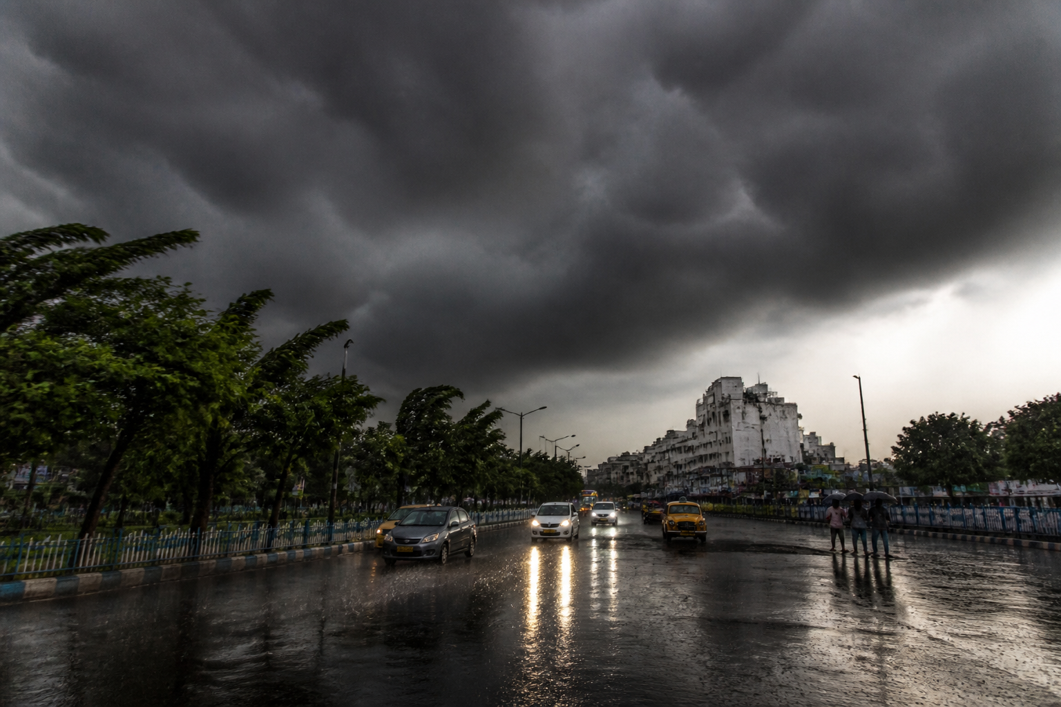
A low-pressure system over the North Andaman Sea is expected to intensify into a deep depression before reaching the Odisha-Andhra coast on Wednesday morning, bringing heavy rain, gusty winds and rough seas to parts of Bengal, the Regional Meteorological Centre said.
The system is likely to intensify into a depression on Monday and a deep depression on Tuesday as it moves west-northwestwards across the Bay of Bengal. Meteorologists have not yet determined when or where it will make landfall. They also said it was too early to establish whether the system would strengthen further into a cyclone.
Kolkata and other parts of South Bengal may see frequent rain from Tuesday as moisture from the system reaches the region. The city is expected to receive light to moderate rain and thundershowers on Tuesday and Wednesday, with occasional spells of heavy rain. Gusty winds of around 30-40 kmph may accompany thunderstorms.
The coastal districts of East Midnapore, West Midnapore and South 24 Parganas are likely to receive isolated heavy rain from Tuesday to Friday. Squally winds of 40-50 kmph, gusting to 60 kmph, are expected along and off the Bengal coast. The conditions are also likely to produce rough seas, affecting coastal activity and marine operations.
RMC weather scientist Sourish Bandyopadhyay said the system was likely to enter land as a deep depression, while leaving open the possibility of further intensification. “The system is likely to enter land as a deep depression. There is not much difference between a cyclone and a deep depression, so the former is not ruled out yet,” he said.
Current India Meteorological Department modelling indicates that the system is likely to peak as a deep depression as it approaches the Odisha-Andhra Pradesh coast. The weather office said atmospheric conditions over the Bay of Bengal remained dynamic, although the system was not currently expected to intensify into a fully fledged tropical cyclone.
Two troughs linked to the system have also formed. One extends between the North Andaman Sea and Bangladesh, while the other lies between the east-central Bay and south interior Karnataka, extending across the Bay of Bengal and south Andhra. These troughs are expected to support heavy rainfall in Bengal’s coastal districts between September 22 and 26.
The distinction between the two weather systems has operational implications for coastal areas. A cyclone can generate severe destruction, storm surges and high-speed gales, while a deep depression is more commonly associated with heavy rain, winds of 50-60 kmph and rough seas. The current forecast therefore points to a significant rainfall and wind event even as the cyclone risk remains under review.
Kolkata recorded a maximum temperature of 29.2°C on Sunday, three degrees below normal. Persistent cloud cover and sporadic drizzle kept temperatures down, while the maximum temperature is expected to rise by a couple of degrees on Monday. The weather office’s next updates will determine how the system develops as it moves towards the Odisha-Andhra coast.
