


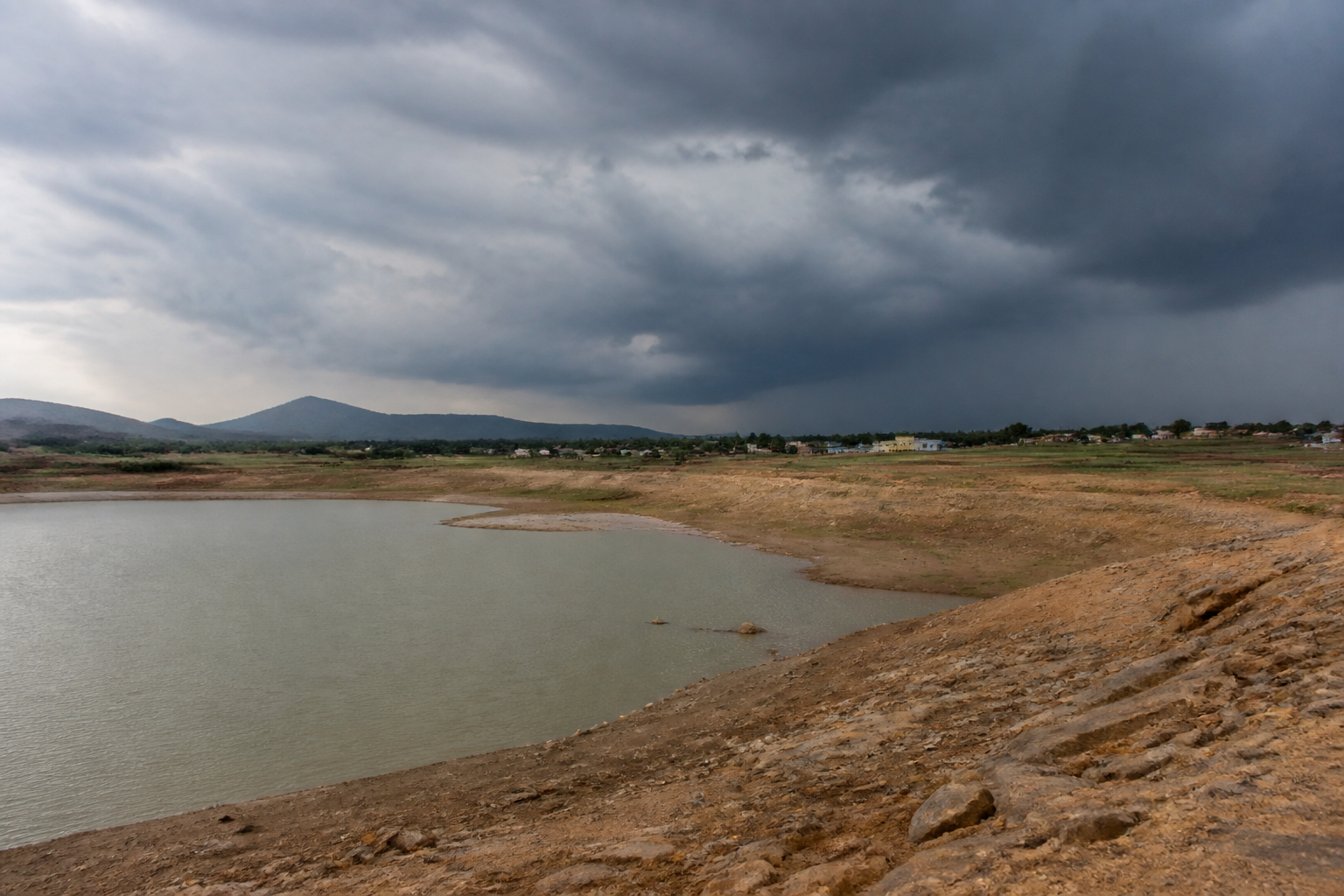
A low-pressure system over the Bay of Bengal is expected to bring rain to the Andhra Pradesh coast around September 23, but the forecast arrives against a severe water deficit that has already affected households, irrigation and kharif sowing. The India Meteorological Department’s projection therefore represents more than a possible spell of relief: it is a test of how much a single weather system can repair after a prolonged failure of rainfall and reservoir recharge.
The system was observed over the east-central Bay of Bengal and adjoining north Andaman Sea at 8.30 am on Sunday, according to the IMD. It is expected to move west-northwestwards, intensify into a depression on September 21 and a deep depression on September 22, before reaching the west-central and adjoining northwest Bay of Bengal near the north Andhra Pradesh–south Odisha coasts around the morning of September 23.
That sequence matters because the forecast is still about a developing system, not a confirmed landfall or a guaranteed distribution of rain across the state. The rainfall outcome will depend on the system’s subsequent movement and strengthening. The IMD’s forecast remains the key reference for public safety and preparedness, while weather-model projections cannot by themselves establish the final intensity or track.
For Andhra Pradesh, the immediate challenge is the scale of the deficit already accumulated. The state’s rainfall deficit stands at 47 per cent, according to PLN Murthy, director of the Visakhapatnam Cyclone Warning Centre. Murthy said that, if the forecast proves correct, the system could reduce the deficit by at least 20 per cent. That estimate indicates potential improvement, but it does not suggest that the state’s water stress would disappear.
The difference between reducing a deficit and restoring water security is central to understanding the forecast. Rainfall must arrive in the right places, at the right intensity and over a sufficient period to benefit households, farms and reservoirs. A coastal rain event may not produce the same result across all districts. The supplied report does not provide a district-wise rainfall forecast, so the eventual effect on local water availability cannot yet be established.
The pressure is already visible in agriculture. Kharif sowing is about two lakh hectares lower than the previous year, while water scarcity has affected irrigation. This shortfall is not simply a seasonal statistic. It reflects a chain connecting rainfall, sowing decisions, irrigation access and farm activity. When rainfall is delayed or inadequate, farmers face a narrower window for planting, while irrigation systems must compensate for missing precipitation with water that may itself be scarce.
The situation also has a direct household dimension. The report says prolonged rainfall deficiency has affected households as well as irrigation. It does not specify the number of affected households, the districts facing the greatest pressure or the measures being used to manage supplies. Those gaps are important because aggregate rainfall figures can conceal very different experiences between urban settlements, rural communities and coastal areas.
Reservoir storage provides another measure of the stress. Storage in Andhra Pradesh’s major reservoirs is reported at 524 tmc ft against a full reservoir level of 1,014 tmc ft. That means the reservoirs are holding slightly more than half of their stated full capacity. The figure does not indicate that all reservoirs have the same storage position, nor does it establish how much additional water can be captured from the forecast system. It does, however, show why the expected rain is being watched closely by both water managers and agricultural users.
Reservoirs are not passive containers waiting for any rainfall to solve a shortage. Their levels depend on the volume and location of inflows, catchment conditions, releases, existing demand and operational decisions. The supplied material does not provide details of reservoir-wise storage, inflow forecasts or release schedules. Those are the institutional details that will determine whether the forecast translates into durable water relief or only a temporary improvement in surface conditions.
The weather system also reveals the limits of reading a developing depression through model imagery alone. The European Centre for Medium-Range Weather Forecasts and the United States Global Forecasting System have indicated the possible development of a system with a distorted eye-like circulation around September 23 and 24. But the report stresses that these projections do not establish whether the system will intensify into a named cyclone.
The distinction is important for public communication. A possible cyclone, a deep depression and a rainfall-bearing low-pressure system carry different implications for preparedness, wind risk, rainfall intensity and coastal administration. The report says that, if the system develops into a cyclone, it may be named Arnab, a name taken from Bangladesh. That remains conditional, and the name itself does not provide evidence about the system’s eventual strength or impact.
For urban and regional governance, the forecast creates a narrow period in which authorities must track both scarcity and excess. Andhra Pradesh is dealing with low rainfall, reduced reservoir levels and irrigation stress, yet a strengthening system can also produce concentrated rainfall. The supplied report does not state that flooding will occur, and no such outcome should be assumed. The administrative task is instead to reconcile preparedness for possible heavy rain with continuing management of water scarcity.
That dual responsibility cuts across institutions. The IMD and the Visakhapatnam Cyclone Warning Centre provide forecasts and warnings. Water authorities manage reservoir storage and releases. Agricultural agencies and local administrations respond to sowing and irrigation conditions, while household water supply depends on local systems and available sources. The report does not identify a single integrated response plan, but the range of impacts shows that rainfall forecasting becomes useful only when its information is connected to these separate administrative functions.
The numbers in the report also show why a single forecast should not be treated as a reset. A 47 per cent rainfall deficit, a two-lakh-hectare decline in kharif sowing and storage of 524 tmc ft against a full reservoir level of 1,014 tmc ft describe accumulated conditions. Even if the projected system reduces the rainfall deficit by 20 percentage points, the remaining gap would still be substantial. That calculation is illustrative of the scale of the problem, not a prediction of final seasonal rainfall or water availability.
The central urban question is how cities and towns manage water uncertainty when regional hydrology is under stress. Households depend on systems that draw, store, treat and distribute water, while agriculture depends on irrigation networks and reservoirs beyond municipal boundaries. A rainfall forecast can therefore affect urban resilience even when the weather system is located offshore or near the coast. The available report does not provide data on municipal supply schedules, groundwater levels or tanker dependence, so those consequences remain unquantified here.
What the evidence confirms is a state facing a serious rainfall deficit, weakened reservoir storage and a significant agricultural sowing shortfall, with a potentially important weather system approaching the Andhra Pradesh–south Odisha coast. What remains uncertain is the system’s final intensity, rainfall distribution, movement and landfall conditions. The next official IMD updates, along with reservoir inflows and administrative responses after September 23, will determine whether the forecast becomes meaningful relief or only a brief interruption in a deeper water crisis.
