


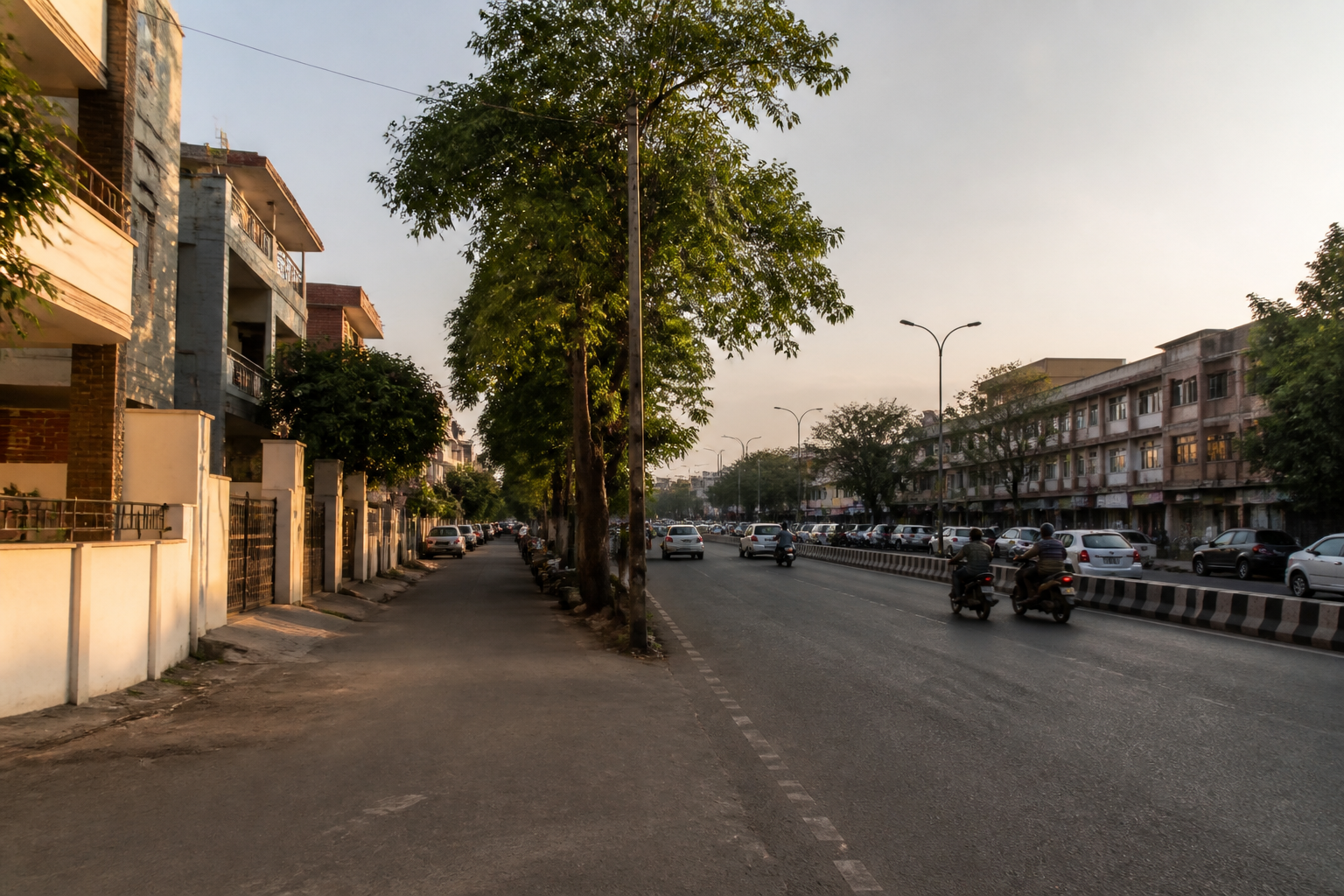
The Bhopal Development Plan 2047 draft proposes a simple but consequential rule for commercial activity in residential areas: the width of the road outside a property would determine what business can operate there. The approach could prevent narrow residential lanes from becoming congested commercial stretches, while directing higher-footfall uses towards corridors considered better equipped to handle traffic, parking and emergency access.
The proposal matters because it treats commercial permission not only as a question of land use, but also as a question of street capacity. Under the draft, a property on a road narrower than 12 metres would not be eligible for full-scale commercial activity. Only limited professional use would be permitted, and that too on a single floor. Offices of lawyers, chartered accountants, consultants and similar professionals are the examples identified in the proposal.
This is a significant distinction. A professional office with limited visitor movement creates a different demand on a neighbourhood street from a shop, restaurant or other high-footfall establishment. By separating these activities, the draft attempts to regulate the intensity of use rather than applying a single commercial permission across all properties in residential areas.
The road-width threshold also creates a graduated system. Roads measuring between 12 and 18 metres could support low-intensity convenience services, including bank ATMs, stationery shops and medical stores. These uses are intended to serve routine neighbourhood needs without creating the traffic and parking pressure associated with larger establishments.
The logic is that access to daily services should not require every residential area to become a commercial corridor. At the same time, the proposal recognises that some neighbourhood-level services generate relatively limited movement compared with restaurants, hotels, showrooms or coaching centres. The 12-to-18-metre category therefore acts as an intermediate zone between predominantly residential streets and wider commercial roads.
A broader range of activity is proposed for roads between 18 and 24 metres wide. These corridors could accommodate nursing homes, restaurants, hotels or cafes, coaching centres and showrooms. The draft associates these uses with greater requirements for access, parking and customer movement. The wider road threshold is consequently being used as a proxy for the ability of a location to support more intensive commercial activity.
For roads wider than 30 metres, the plan could permit shopping complexes. This places the largest commercial format at the highest road-width threshold described in the draft. The framework therefore creates a hierarchy: professional use on the narrowest roads, neighbourhood services on somewhat wider roads, larger commercial establishments on broader corridors and shopping complexes on roads exceeding 30 metres.
That hierarchy could make the road itself a more important determinant of property use than it is under a system based mainly on the plot or building. Two properties in otherwise similar residential areas could receive different commercial permissions because they are located on roads in different width categories. The proposal would thus connect development rights to the physical characteristics of the surrounding street.
The approach also raises an implementation question that the draft, as reported, does not yet resolve: how will road width be measured and enforced? The effectiveness of the framework will depend on an authoritative assessment of the road adjoining each property, as well as a consistent process for deciding whether a proposed use falls within the permitted intensity. The supplied report does not provide details of the measurement procedure, enforcement agency or approval process.
The financial condition attached to commercial status adds another layer to the policy. Property owners seeking this status would have to pay a charge equal to 20% of the difference between the residential and commercial collector guideline rates applicable to the property. This means that commercial permission would not be only a zoning question; it would also carry a land-value-linked financial obligation.
The charge appears designed to capture part of the difference between residential and commercial development potential. However, the information available in the draft report does not establish how the amount would be calculated in individual cases, when it would become payable or whether different categories of commercial use would attract different charges. Those details will be important for property owners and for the administration of the plan.
The proposal could also affect businesses that already operate from residential neighbourhoods. The reported framework indicates that existing establishments may be examined under the final zoning rules, transition provisions and implementation mechanism. But the draft details available here do not state whether existing businesses would be allowed to continue, required to relocate, permitted to remain under specific conditions or given a transition period.
That uncertainty is central to the plan’s practical impact. New commercial applications can be assessed against a new framework more easily than existing uses can be regularised or restricted. If the final plan applies the road-width rules to established businesses, the administration will need a process that identifies affected properties and distinguishes between different levels of commercial intensity.
The proposal also illustrates a wider tension in urban planning. Residential areas are not isolated from economic activity. Residents need access to medical stores, stationery shops, professional services and other daily facilities. At the same time, commercial activity can alter traffic patterns, parking demand, noise levels and the movement of pedestrians and vehicles. A planning framework that permits every use everywhere may intensify these pressures, while a framework that prohibits all non-residential activity may make neighbourhoods less functional.
The Bhopal draft attempts to manage this tension through a spatial hierarchy rather than a blanket permission or blanket ban. Its central assumption is that road capacity should guide the intensity of land use. Narrow streets are assigned lower-intensity uses, while wider roads are assigned uses expected to attract more customers, deliveries and vehicles.
That assumption makes road width the plan’s most visible planning instrument, but road width alone may not capture every factor relevant to commercial suitability. The reported provisions do not state how parking availability, junction congestion, pedestrian movement, public transport access, building setbacks or emergency vehicle access would be assessed. It is therefore not established whether the final system will use road width as the sole criterion or as one part of a broader approval test.
The plan’s financial component also creates a link between planning permission and property economics. A change from residential to commercial status can affect the value and use of a property, while the proposed charge could influence whether owners seek that change. The 20% calculation based on the difference between residential and commercial collector guideline rates provides a defined formula in principle, but its impact will vary according to local rates and the use being proposed.
The evidence currently available confirms the direction of the draft but not its final legal or administrative form. The proposal has been reported as part of the draft Bhopal Development Plan 2047, and its provisions could change before approval. The unresolved questions include the treatment of existing establishments, the transition period, the authority responsible for enforcement, the method of measuring road width and the detailed calculation of the commercial-status charge.
What the draft establishes is a clear attempt to connect development intensity with street conditions. Its success will depend less on the simplicity of the thresholds than on how consistently they are applied across neighbourhoods. The next stage of the plan will determine whether the road-width framework becomes an enforceable planning rule, how affected property owners are treated and whether the final provisions provide enough clarity for residents, businesses and municipal authorities.
