


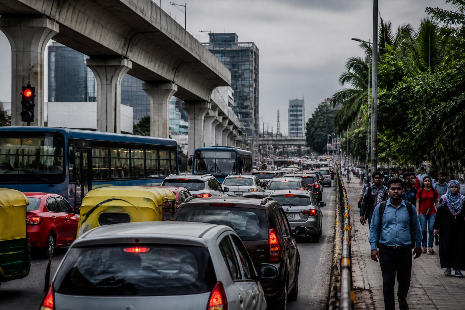
Bengaluru traffic is no longer only a problem of crowded junctions. The prescription from Dr K.S. Krishna Reddy, a former Public Works Department secretary and former managing director of the Karnataka Road Development Corporation, points to a larger institutional failure: a city that has expanded rapidly while its transport systems have continued to be planned in fragments.
Reddy has called for a comprehensive mobility plan covering the next 20 to 30 years, arguing that temporary interventions cannot address the scale of Bengaluru’s infrastructure challenge. His proposal brings together the Metro, suburban rail, BMTC buses, pedestrian paths, cycling tracks and road networks under one integrated framework. The argument is significant because it shifts attention from individual bottlenecks to the way the metropolitan transport system is planned, financed and delivered.
The source report says Bengaluru’s population has tripled over the past three decades and that the number of vehicles has crossed one crore. Reddy also said around 10,000 new private vehicles are registered with regional transport offices every month. These figures were presented by him as evidence of a city where demand for movement is increasing faster than the capacity of existing roads and public transport connections.
The report does not provide an independent assessment of these figures or a current official mobility audit. They therefore remain claims attributed to Reddy. But the broader pattern described is clear within the material: residential areas, offices and commercial complexes have spread towards the outskirts, while many residents now live and work in peripheral areas or travel between opposite ends of the city. The result is longer daily journeys on road networks that were not designed for present traffic volumes.
From junction projects to continuous corridors
Reddy’s central criticism is directed at a familiar form of urban transport response: treating each congested junction as a separate project. He argued that a flyover at one intersection cannot resolve a journey in which commuters cross 12 to 15 traffic signals. The alternative he proposed is a network of signal-free continuous corridors, designed to maintain movement across a longer route rather than remove delay at only one point.
This distinction matters for Bengaluru because isolated grade separators can shift congestion rather than eliminate it. A vehicle may move faster through one junction but encounter another queue shortly afterwards. The report does not establish how many existing projects have produced that outcome, nor does it provide corridor-level travel-time data. It does, however, document Reddy’s contention that transport planning should be based on connected routes with entry and exit ramps, rather than a succession of independent structures.
He said that during his tenure, plans had been prepared and approved for long elevated corridors connecting the north-south and east-west directions. According to his assessment, implementation of such projects could immediately reduce congestion on major routes by 20 per cent. That estimate is also a statement attributed to Reddy, not an independently verified projection in the supplied material.
The proposed toolkit includes grade separators, short and long flyovers, railway overbridges and underbridges, underpasses and tunnels wherever feasible. Reddy’s argument is that dense construction along major roads has made conventional ground-level widening practically difficult. In such locations, the physical constraint is not simply the width of the carriageway; it is the built environment already occupying the road edge.
This is where Bengaluru’s transport problem becomes a land and governance problem. Expanding a road at ground level can require land acquisition, demolition, relocation and coordination with multiple agencies. Elevated and underground solutions may reduce the need for some surface acquisition, but they introduce their own questions about cost, construction disruption, maintenance, safety and integration with public transport. The report does not supply cost estimates, land requirements or a comparative assessment of these options, so the relative feasibility of each intervention remains unresolved.
Why integration is more difficult than announcing projects
Bengaluru already has several transport modes, but Reddy’s proposal suggests that their existence alone does not amount to an integrated mobility system. The Metro, suburban rail, BMTC buses, walking infrastructure, cycling routes and roads need to complement one another, he said, rather than operate as separate programmes.
Integration requires more than physical proximity between modes. It involves coordinated routes, interchange points, timings, pedestrian access and a clear institutional responsibility for the complete journey. A Metro station that is difficult to reach on foot, a bus route that does not connect efficiently with rail, or a cycling track that ends before a major interchange can leave commuters dependent on private vehicles for the first or last part of their trip.
The source report does not describe a proposed governance structure for this integration. It does not identify a single agency that would control the full network, nor does it set out a funding mechanism or implementation timetable. Those omissions are important because Bengaluru’s mobility challenge is not only about choosing infrastructure. It is also about aligning the decisions of the agencies responsible for roads, buses, rail, Metro, land use and traffic management.
The reference to the Bengaluru Business Corridor illustrates the limits of treating one large project as a complete answer. Reddy said the corridor would be essential for connections around the city’s periphery but would not fully resolve internal traffic problems. The observation separates regional connectivity from metropolitan circulation. A peripheral link can help traffic bypass parts of the city, but it cannot by itself address daily trips between neighbourhoods, employment centres, educational institutions and transport hubs within the built-up area.
The cost of waiting is not only construction cost
Reddy also framed delay as an economic issue. He said land acquisition becomes more expensive each year, while new buildings make future construction more difficult. This is a recurring challenge in expanding cities: infrastructure corridors become harder to assemble as development fills previously available space.
The report connects congestion with wasted time and lower productivity, affecting businesses, employees, students and emergency services. It does not provide quantified estimates of those losses, but it identifies the channels through which traffic affects the urban economy. A long commute reduces the time available for work and household activity. Delays can make bus operations less reliable, raise the operating burden on logistics and complicate the movement of ambulances and other emergency vehicles.
The urban effect is also uneven. The source material does not present income-wise or neighbourhood-wise data, but its description of outward growth raises a basic question about who bears the cost of a dispersed city. Residents living far from employment centres may have fewer alternatives to long road journeys. Those who cannot afford private vehicles may depend on buses, walking connections and transfers between modes, making the quality of integration especially important.
Reddy’s call for a 2050 plan therefore goes beyond forecasting the number of vehicles. It implies that the city must decide how housing, employment, commercial development and transport corridors will relate to one another over time. The report says Bengaluru has grown in a circular pattern, with homes, offices and commercial complexes spreading towards the outskirts. Without corresponding transport planning, each new peripheral development can add travel demand before high-capacity public transport or safe non-motorised connections are available.
The institutional test behind a long-term mobility plan
A 20- or 30-year mobility plan would need to survive changes in governments, agency leadership and project priorities. Reddy described strong political will as necessary for implementation and warned that postponing decisions would leave a larger crisis for the next generation. The report records that warning but does not identify the legal or administrative mechanism that could ensure continuity.
That mechanism would be central to any credible plan. A long-term framework would have to establish which projects are priorities, how they will be sequenced, how land will be protected, and how progress will be measured. It would also need to distinguish between interventions designed to improve private-vehicle movement and those intended to increase the share, reliability and accessibility of public transport. The supplied material does not provide these performance indicators.
The same gap applies to the proposed signal-free corridors. Their success cannot be assessed only by vehicle speed. A corridor would also need to be evaluated for its effect on buses, pedestrian crossings, local access, road safety and traffic on connecting streets. No such assessment is included in the report. The evidence available supports the need for a system-wide debate, but not a conclusion that any single infrastructure type will solve Bengaluru’s congestion.
The key issue is thus not whether Bengaluru needs more roads, flyovers or tunnels in isolation. It is whether new infrastructure will be selected through a metropolitan mobility framework that recognises how different trips and transport modes interact. The report’s strongest contribution is to make that connection explicit.
Bengaluru’s traffic crisis, as presented in the report, is the product of rapid population and vehicle growth, outward development and fragmented responses to congestion. Reddy’s proposed 2050 perspective offers a clear direction: plan continuous corridors and integrate roads with Metro, suburban rail, buses, walking and cycling. What remains to be established is the evidence base, funding model, agency structure and implementation sequence that would turn that direction into a durable citywide programme.
