


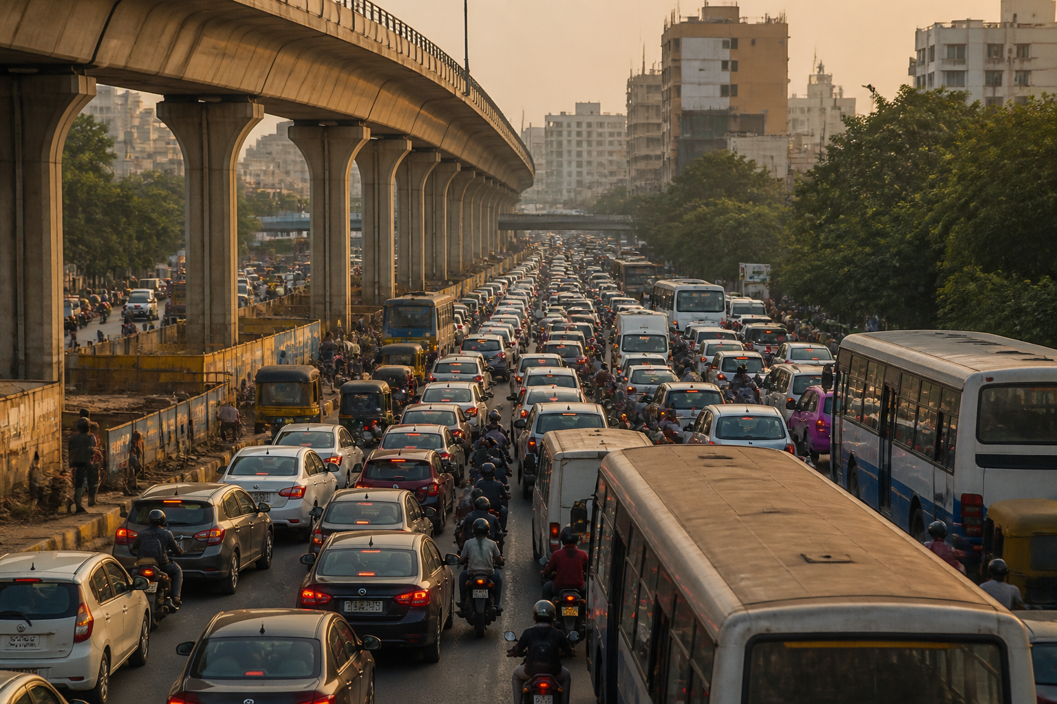
Bengaluru’s traffic crisis is no longer a question of adding one more flyover or widening one more road. The warning from former Public Works Department secretary and former Karnataka Road Development Corporation Limited managing director Dr K.S. Krishna Reddy points to a larger institutional failure: the city has expanded faster than the transport system designed to serve it. His proposal for a 20- to 30-year integrated mobility plan shifts the debate from temporary junction-level fixes to the difficult question of how a metropolitan transport network should be planned, funded and governed.
According to the report by Vijay Karnataka, Reddy said Bengaluru’s population has tripled over the past three decades while the number of vehicles has crossed one crore. He also said regional transport offices register about 10,000 new private vehicles every month. These figures, as presented in the report, describe a city where demand for road space continues to rise even as the physical limits of the existing network become more visible.
The spatial pattern of Bengaluru’s growth has intensified the problem. Residential areas, offices and commercial developments have spread towards the outskirts, while people increasingly live in one peripheral area and work in another, or travel between opposite ends of the city. Reddy said that this outward and circular expansion has produced long daily commutes on roads that were not designed for current traffic volumes. The result is not merely slower travel. It is a system in which ordinary journeys consume hours and emergency, commercial and public transport movements are forced to compete for the same constrained corridors.
This is why the proposal for a long-term mobility plan matters more than its individual engineering suggestions. Bengaluru’s transport system is divided across several modes and institutions: Namma Metro, suburban rail, BMTC buses, roads, footpaths and cycling infrastructure. Reddy argued that these systems must operate as complementary parts of one integrated framework rather than as separate projects. The underlying issue is not the absence of infrastructure in isolation, but the absence of a sufficiently coordinated network in which passengers can move between modes reliably and efficiently.
The physical constraints are equally important. Major roads in Bengaluru are already lined with dense construction, making conventional ground-level widening difficult, according to Reddy. His proposed response includes grade separators, short and long elevated corridors, railway overbridges and underbridges, underpasses and tunnels where feasible. Such infrastructure can add capacity without requiring every existing building along a road to be acquired. But the suggestion also exposes the trade-off facing the city: expensive and technically complex structures are being considered because earlier growth has made simpler land-based interventions harder to deliver.
Reddy’s criticism of isolated junction projects is particularly significant. He said that if a commuter has to cross 12 to 15 traffic signals, constructing a flyover at only one junction will not resolve the complete journey. Instead, he proposed signal-free continuous corridors. This frames congestion as a corridor problem rather than a collection of independent bottlenecks. A vehicle may move faster through one grade-separated junction and still lose time at the next several signals. Unless projects are designed around the full movement path, local improvements can simply shift queues rather than remove them.
The report says that during his tenure, plans had been prepared and approved for long elevated corridors connecting the north-south and east-west directions, with entry ramps. Reddy said that implementing such projects could immediately reduce congestion on key routes by 20 per cent. That estimate is a claim attributed to him in the report and would require project-level traffic studies and public documentation to assess. Its importance for policy, however, is clear: the proposed intervention is not a single structure but a connected network intended to absorb longer cross-city movements.
The Bengaluru Business Corridor is another example of why the city’s mobility debate cannot be reduced to one flagship road project. Reddy said the corridor is essential for connecting the city’s outskirts but cannot provide a complete solution to internal traffic. This distinction is central to metropolitan planning. Peripheral connectivity can improve movement around the urban edge while leaving the daily traffic pressures generated by dense employment centres, residential clusters and established commercial districts largely unresolved. A citywide plan must therefore connect outer corridors with internal public transport, road and pedestrian systems.
The economic cost of delay is also part of the argument. Reddy said that postponing projects raises land acquisition costs each year and allows more buildings to come up, making future construction more difficult. The claim reflects a familiar infrastructure problem: transport decisions become more expensive when urban development proceeds without reserving space for future corridors. Once land is built over, the city may be left choosing between costly acquisition, elevated structures, tunnels or continued congestion.
His argument also treats travel time as an economic resource. Traffic delays affect businesses, employees, students and emergency services, he said, reducing productivity and quality of life. This is an important shift from measuring congestion only through vehicle speeds. A transport network can be judged by how reliably people reach work, education, healthcare and essential services, not simply by how many cars pass through a junction. Long and unpredictable journeys also expose the unequal effects of a road-dependent city: people who cannot shift their working hours, location or mode of travel bear the greatest burden of delays.
An integrated mobility plan would therefore need to address more than the construction of elevated roads. The report identifies Metro, suburban rail, BMTC buses, footpaths, cycling tracks and the road network as parts of the required system. It does not provide a funding model, institutional structure, project list, implementation schedule or prioritisation framework. Those omissions are important because coordination is often the hardest part of metropolitan infrastructure delivery. Different agencies may control land, roads, rail systems, buses, traffic management and urban development. Without a mechanism to align their investments and operating decisions, an integrated plan can remain a policy document rather than become a functioning network.
The proposal also raises a question about the relationship between transport and land use. Bengaluru’s outward growth has increased the distance between homes, jobs and services, while commercial and residential construction has continued along already stressed corridors. A mobility plan designed only around vehicle movement may improve capacity temporarily without changing the travel patterns that generate demand. At the same time, the source report does not provide enough evidence to establish how future land-use controls, employment distribution or development permissions should be changed. Those questions would need to be addressed in any credible 2050 framework.
Reddy’s call for planning for the Bengaluru of 2050 is ultimately a call to treat mobility as long-term urban infrastructure rather than as a sequence of traffic responses. The evidence contained in the report confirms three pressures: rapid population growth, a vehicle fleet that has crossed one crore and urban expansion towards the periphery. It also records a proposed response based on continuous corridors and integration between public and private transport systems. What remains unclear is how the proposals would be evaluated, financed, coordinated and delivered without worsening access for pedestrians, bus users and neighbourhoods affected by construction.
The immediate policy question is therefore not whether Bengaluru needs another flyover. It is whether the city can establish a durable, publicly accountable mobility framework before land costs, development density and daily travel demand make coordinated action still more difficult. The next meaningful milestones would be the publication of a formal long-term mobility plan, identification of responsible agencies, disclosure of project studies and a clear implementation timeline for integrating roads, rail, buses and non-motorised transport.
