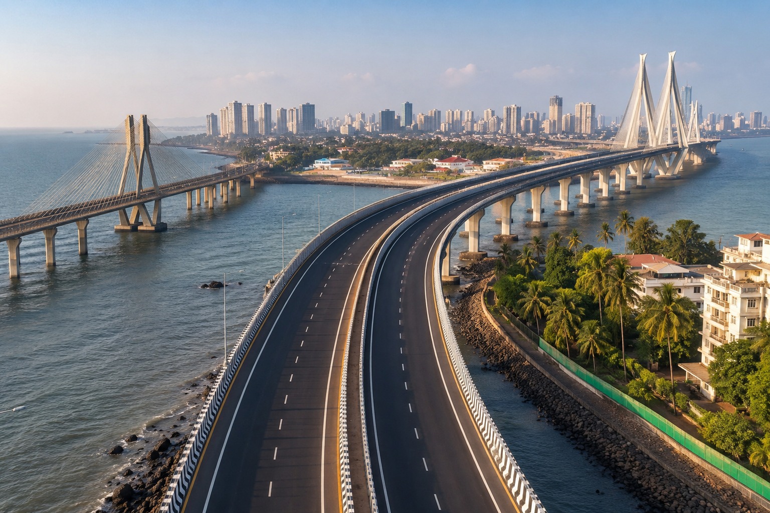
A proposed road link across Thane’s rapidly urbanising eastern edge has hit an environmental hurdle after the Maharashtra Coastal Zone Management Authority sought a lower-impact alignment. The route under scrutiny would pass through the Thane Creek ecosystem and affect thousands of mangroves on forest land. The decision puts ecological safeguards alongside traffic decongestion in determining how a major regional road connection moves forward. The proposal submitted to the coastal regulator on August 11 involves the Balkum–Anandnagar section, linking the Thane side with the wider Eastern Freeway network. The intended transport benefit is significant: shifting through traffic away from congested urban roads could improve movement towards Kalyan, Nashik and other parts of the Mumbai Metropolitan Region.
But the environmental cost has become a central question. The coastal authority has flagged potential impacts on 3,754 mangroves spread across 2.72 hectares of forest land and the Thane Creek Flamingo Sanctuary. It has asked the regional development authority to examine alternative alignments that reduce pressure on the ecologically sensitive area. The regulator has also sought the state forest department’s mangrove protection report, along with a detailed assessment of impacts on creek ecology and flamingo habitat. A compensatory mangrove plantation plan and mitigation measures have also been requested. The proposal is therefore not a rejection of the road, but a demand for stronger evidence before environmental clearance can progress. The infrastructure case remains substantial. MMRDA’s wider road programme includes a six-lane, 13.45-km Balkum–Gaimukh Thane Coastal Road project, designed to separate commercial traffic from increasingly congested Ghodbunder Road. The agency says preliminary surveys and test piling have begun on that project, showing how closely road-building and environmental approvals are now intertwined across Thane’s coastal belt.
For planners, the issue goes beyond the number of trees removed. Mangroves help stabilise shorelines, support aquatic ecosystems and provide protection against flooding and storm impacts. Their value becomes greater as intense rainfall and coastal risks place more pressure on the region’s drainage and natural buffers. Any road design that crosses tidal areas therefore needs to consider water movement and habitat connectivity, not simply the physical footprint of its piers. MMRDA has argued that elevated construction can reduce the ground-level footprint, while longer spans can limit the number of foundations required in sensitive areas. Similar environmental clearances for elevated infrastructure have required longer creek spans and construction techniques designed to reduce disturbance to mangrove habitats.
The next stage will depend on the technical studies submitted to MCZMA and whether an alternative alignment can preserve the corridor’s transport function with less ecological disruption. For Thane, the outcome will set an important precedent: future connectivity projects will need to demonstrate not only how they move traffic faster, but how they coexist with the natural systems that protect the city.