Pune Weather Radar Strengthens Monsoon Risk Tracking
A new weather radar commissioned by the Indian Institute of Tropical Meteorology (IITM) at Mahabaleshwar is set to sharpen short-range monitoring of intense rain and storms across parts of Maharashtra. Installed at about 1,400 metres in the Western Ghats, the system is designed to improve forecasts for up to three hours, with potential implications for flood preparedness, landslide risk, transport and water management.
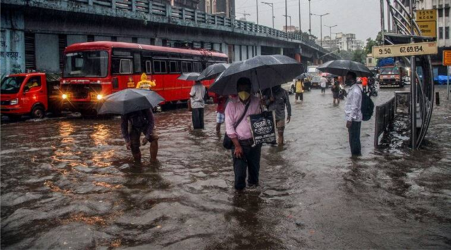
The Pune weather radar is a dual-polarisation X-band Doppler system, allowing scientists to examine the movement and characteristics of precipitation and storm systems. Its location is significant because mountain terrain can alter rainfall patterns, making weather prediction more difficult precisely where intense precipitation can trigger flooding and landslides. The coverage is expected to support weather monitoring over Satara and Pune, as well as parts of the Konkan and Mumbai regions. Mahabaleshwar itself is particularly exposed to rapidly changing conditions, including heavy rain, fog and strong winds. IITM said the radar will also help researchers study how the Western Ghats influence rainfall and the development of thunderstorms. For cities and infrastructure planners, the value of the Pune weather radar extends beyond conventional forecasting. A few hours of additional warning can influence decisions around road operations, emergency response, drainage management and the movement of people through vulnerable areas. Better rainfall intelligence can also improve decisions on reservoirs and other water systems during increasingly uncertain monsoon conditions.
The development comes as India expands its atmospheric observation capabilities under Mission Mausam. The programme aims to strengthen weather and climate prediction through improved observations, modelling and forecasting systems. IITM identifies enhanced observational networks as a core component of the initiative. At Mahabaleshwar, the radar is also part of a wider scientific infrastructure base. IITM already operates a high-altitude atmospheric research facility there, with instruments used to study clouds, aerosols and weather processes. This creates scope for combining radar observations with other atmospheric measurements rather than treating the new installation as a standalone forecasting asset.
Alongside the commissioning, IITM and ISRO’s Space Applications Centre signed an agreement to jointly develop satellite-based products. The work is intended to improve information on cloud characteristics, air pollution and atmospheric conditions. The immediate test will be operational: whether better observations translate into warnings that reach local authorities and communities in time to act. For a region where steep terrain, expanding settlements and extreme rainfall intersect, forecasting is most valuable when it strengthens everyday resilience and helps infrastructure decisions account for a changing climate.