


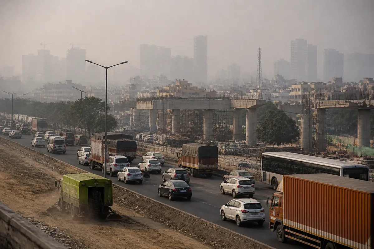
Planning a city is difficult; planning a region is harder when its boundaries keep changing. In an analysis published by Scroll, former Indian Administrative Service officer and former Delhi environment secretary Naini Jeyaseelan argues that the National Capital Region’s expanding administrative map has not resolved the environmental problems that cross it.
The NCR was created in 1985, when Delhi’s economic and physical growth was spilling beyond its administrative limits. Under the NCR Planning Board Act, the original region covered about 30,000 sq km and included Delhi and districts in Haryana, Uttar Pradesh and Rajasthan. It now stretches over more than 55,000 sq km, while further changes to its boundaries are being discussed, the analysis says.
Jeyaseelan’s central argument is that the geography of government does not match the geography of environmental systems. People commute across state and municipal borders, while housing, industry and commerce have spread along corridors rather than within single administrative units. Air pollution, drainage, wetlands, forests, the Aravallis and the Yamuna similarly extend beyond jurisdictional boundaries.
The mismatch is particularly visible in air-pollution management. The Commission for Air Quality Management was established by the Union government in 2021 because the airshed — the area across which pollutants are transported or trapped — extends beyond state borders. The commission has regional powers and can issue directions across Delhi-NCR.
However, the analysis says the commission’s powers have not been matched by a fully integrated implementation structure. In January, the commission reviewed the implementation of Stage III and Stage IV measures under the Graded Response Action Plan, which brings in increasingly stringent restrictions when air quality deteriorates. The assessment found deficiencies ranging from 7% to 99.6% across key mandated actions, according to Jeyaseelan.
The measures reviewed included a total ban on the entry of heavy goods vehicles, the closure of non-essential industries, the suspension of construction projects and work-from-home arrangements or school closures. In different categories and regions, more than half of complaints remained unresolved, the analysis says.
The institutional problem is that the regional commission cannot independently carry out many of the measures it directs. Road sweeping remains the responsibility of local agencies, even though it can contribute to dust emissions. Inspections of polluting construction sites depend on local authorities and pollution-control bodies. Waste management, traffic management and other interventions must also be implemented through existing administrative machinery.
This creates a gap between regional decision-making and local execution. A commission may issue directions, monitor compliance and identify failures, but implementation remains divided among municipalities, development authorities, state departments and pollution-control agencies. For residents, the result is that pollution controls can vary across neighbouring jurisdictions even when the same airshed, road network or settlement corridor is involved.
Jeyaseelan argues that the response has focused on drawing an administrative boundary around a problem whose physical geography is different. Administrative maps remain necessary to assign responsibilities and public funds, but they do not by themselves show how environmental systems function.
The analysis proposes that regional planning should also use environmental maps. An airshed map could trace pollution concentrations and emissions. An aquifer map could show how groundwater accumulates and is extracted. A drainage-catchment map could identify how rainwater moves across jurisdictions. Such maps, the author argues, could help identify which areas need to be governed together, even when they fall under different administrations.
The issue extends beyond Delhi’s most visible pollution episodes. The same institutional mismatch can affect water quality, flood management, groundwater, forest protection and the conservation of the Aravallis. Creating a separate commission for each environmental issue, Jeyaseelan cautions, could produce another layer of institutions without resolving the responsibility for local implementation.
The practical test for the NCR, therefore, is not only whether its boundary reflects Delhi’s economic expansion. It is whether residents of Delhi, Gurugram, Noida and peripheral cities such as Karnal or Bharatpur experience coordinated management of the environmental systems connecting them. The analysis suggests that a region will remain difficult to govern if its administrative geography keeps changing while its air, water and ecological systems continue to operate across fixed physical relationships.

