


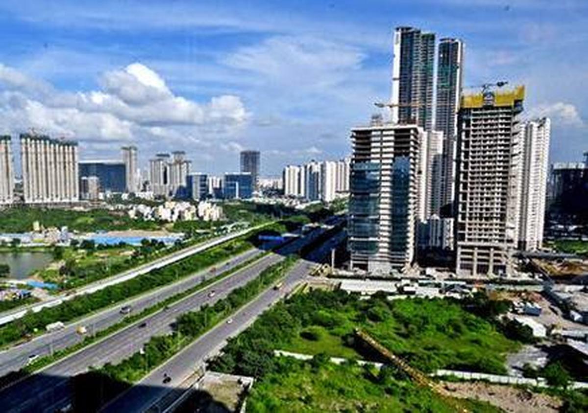
Hyderabad has changed from a relatively compact city into a sprawling metropolitan region where employment, housing and infrastructure are increasingly distributed across multiple growth corridors. The transformation is most visible along the western and southern edges, where office districts, high-rise housing and large infrastructure projects have replaced much of the open land that once marked the city’s outskirts.
The shift has been gradual, but its economic impact has been significant. Residential colonies and industrial areas expanded during the 1980s and 1990s, bringing places such as Kukatpally, Balanagar and Jeedimetla closer to Hyderabad’s economic core. At the same time, Jubilee Hills and Banjara Hills developed into major residential districts. The defining change came with the rise of the technology sector. The opening of HITEC City in Madhapur in 1998 accelerated development along the western corridor. As technology companies created jobs, demand for housing and supporting services followed. Kondapur, Gachibowli and Raidurg subsequently developed into major residential and commercial destinations. The Financial District extended this western expansion further, while Kokapet and Neopolis now represent another phase of large-scale urban development. The pattern illustrates how employment centres can reshape land markets and influence where people choose to live.
Infrastructure has played an equally important role. The 158-km Outer Ring Road improved connections between emerging areas and helped open up land beyond established neighbourhoods. The airport at Shamshabad, which began operations in 2008, strengthened the southern growth corridor. Hyderabad Metro, operational since 2017, added a mass-transit network to a city where daily commuting distances have steadily increased. But better connectivity has not eliminated the pressures created by urban expansion. Longer distances between homes and workplaces have made travel time a major consideration for residents. Traffic congestion and dependence on private vehicles also highlight the challenges of building a metropolitan region faster than its public transport and neighbourhood infrastructure can keep pace. Hyderabad has also grown vertically. Rising land values and increasing demand have pushed development from independent houses towards apartment complexes, gated communities and increasingly tall residential towers. In newer growth areas, buildings of several dozen floors are becoming part of the skyline.
Administrative changes have reflected the physical expansion. The creation of the Greater Hyderabad Municipal Corporation in 2007 brought the Municipal Corporation of Hyderabad together with 12 surrounding municipalities, expanding the municipal area from about 175 sq km to roughly 650 sq km. Today, Hyderabad no longer revolves around a single urban centre. The historic city around Charminar, the commercial districts of Abids and Koti, the established residential areas of Banjara Hills and Jubilee Hills, and the technology clusters of Madhapur, Gachibowli and the Financial District all function as distinct parts of a much larger urban system. The next challenge is to ensure that this expansion remains connected, efficient and liveable. As Hyderabad continues to grow outward and upward, coordinated transport, housing, drainage, public services and climate-resilient infrastructure will determine whether its multiple centres develop as a connected metropolitan region or remain fragmented growth pockets.
Read more: Hyderabad Hitech City Metro Drives IT Corridor Mobility
Hyderabad Growth Transforms Its Urban Boundaries
