


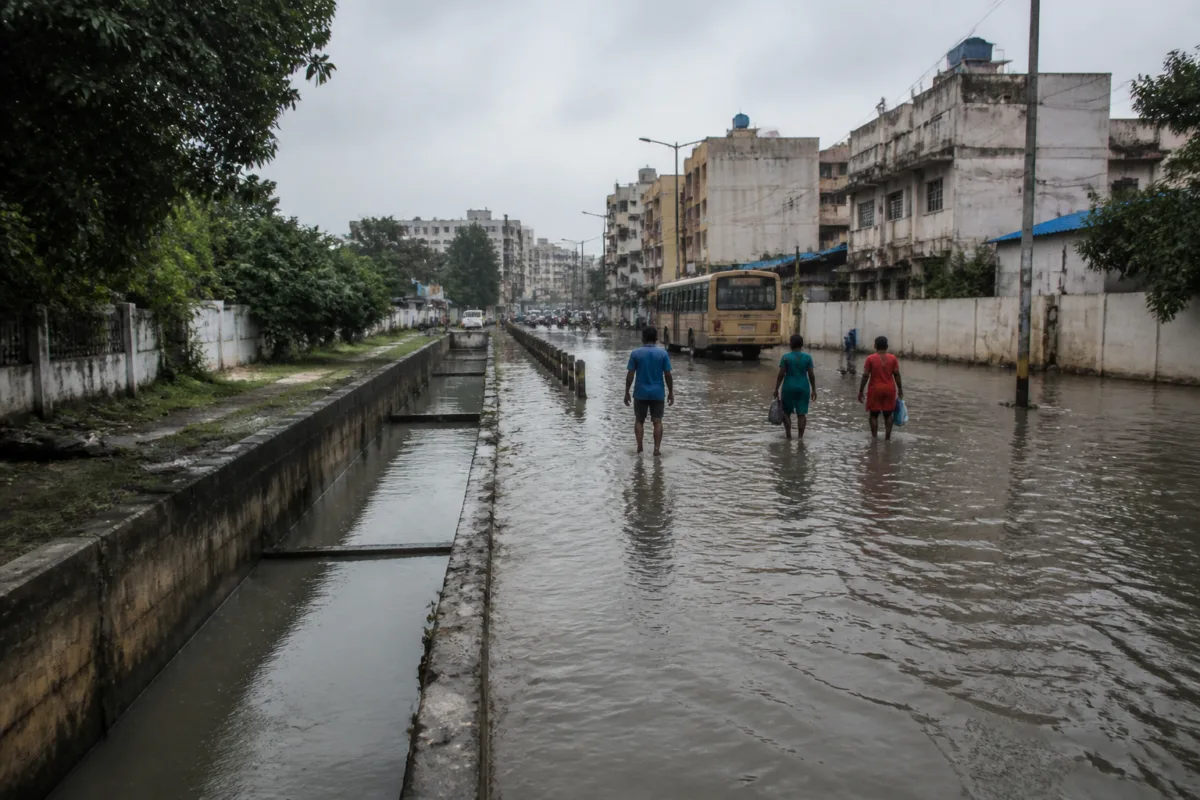
Chennai’s flood-risk challenge is no longer defined only by extreme rainfall. A University of Madras study and preparedness data from civic and disaster-management authorities show a city where built-up land has expanded, vegetation and water bodies have declined, drainage gaps remain concentrated in newer urban areas, and agencies are increasingly relying on real-time monitoring and emergency response to manage the consequences.
The study found that Chennai’s built-up area grew 7.6% between 2000 and 2024, while vegetation cover declined 26.14% and water bodies shrank 22.54%. That change matters because roads and buildings replace permeable surfaces that would otherwise absorb rain. More paved land means a greater share of rainfall becomes surface runoff, placing additional pressure on stormwater drains, canals, rivers and low-lying settlements.
The geography of the risk is equally important. The University of Madras research identified flood-prone areas in Velachery, Pallavaram, Chromepet and surrounding southern localities, parts of western Chennai, Koyambedu, Villivakkam and areas around Tondiarpet. It found that vulnerable zones are concentrated in low-lying coastal areas, western and southern peri-urban areas and the Adyar River floodplain, where urban expansion, high flow accumulation and previous flood events overlap.
This pattern shows why flood management cannot be treated as a drain-construction exercise alone. A stormwater drain is one part of a larger system that includes land-use decisions, terrain, water bodies, river channels, roads, reservoir operations and the location of settlements. When construction moves into areas where drainage infrastructure has not kept pace, the risk is transferred from undeveloped land and natural storage areas to roads, homes and public facilities.
The study classified areas more than one kilometre from mapped stormwater drains as having drainage gaps. These gaps overlap with recent urban expansion, particularly in western and southern peripheral areas. The finding points to an institutional problem: the growth of the urban footprint has not always been matched by the extension or integration of civic infrastructure.
Chennai’s rainfall pattern adds to the difficulty. The city receives annual rainfall of 1,382.9 millimetres, including 867.4 millimetres during the northeast monsoon from October to December. By comparison, Tamil Nadu’s annual rainfall is 943.7 millimetres, with 447.4 millimetres during the northeast monsoon. A large share of Chennai’s annual rainfall is therefore concentrated in a short period, increasing the importance of storage, drainage capacity and coordinated reservoir and river management.
The study also placed recent rainfall events in a longer risk framework. It said rainfall in 2015 exceeded its estimated 100-year return-period intensity, while the 2023 event was associated with a nearly 25-year return period. These figures do not mean that every flood can be predicted from historical recurrence intervals, but they indicate that Chennai’s drainage and emergency systems must function under highly uneven rainfall conditions rather than an average monsoon.
The city’s official response has developed on two parallel tracks. The first is physical infrastructure. The Greater Chennai Corporation said 1,144.5 kilometres of stormwater drains were laid between 2022 and 2025. It has also desilted 1,670 kilometres of stormwater drains and 81 kilometres of canals, while pruning 78,161 trees as part of its reported preparedness measures.
The second track is targeted preparedness. The corporation has identified 219 flood-prone locations for this northeast monsoon, down from 230 the previous year, with the reduction attributed to the construction of additional drains. The largest concentration of hotspots is on the Old Mahabalipuram Road corridor, with 43 in Perungudi zone and 37 in Sholinganallur. These are areas where rapid development has increased the importance of drainage connectivity and the management of runoff from roads and built-up plots.
The hotspot count is not a complete measure of flood risk. It reflects locations prioritised for operational attention, while the University of Madras study maps broader relationships between elevation, water flow, land cover and previous flooding. A reduction of 11 identified hotspots may indicate improved local conditions, but it does not by itself establish that the citywide structural risk has declined. The two sets of information serve different administrative purposes: one guides response planning, while the other explains how risk is produced across the urban landscape.
Emergency capacity has also been expanded. The Greater Chennai Corporation and other civic agencies have arranged 1,326 motor pumps, 311 boats, 220 relief camps and 110 central kitchens, according to the preparedness figures reported by the corporation. The city has 220 shelters and 111 kitchens ready, while flood-prone locations are to be monitored through the Integrated Command and Control Centre.
These arrangements are essential when water accumulates faster than it can drain, but they also reveal the limits of a response-led model. Pumps, shelters and kitchens reduce immediate harm; they do not restore lost water bodies, increase soil absorption or correct a drainage gap created by peripheral growth. Preparedness is therefore a necessary layer of flood governance, not a substitute for land-use and infrastructure coordination.
Tamil Nadu’s revenue administration and disaster-management authorities have identified 1,030 locations with high or very high vulnerability and another 1,003 with moderate vulnerability. Revenue administration and disaster management commissioner B Chandra Mohan said each location has a mitigation plan and a response plan, including water-level triggers for action and evacuation routes as water rises.
This location-based planning is important because flood impacts are not uniform. A road junction, subway, housing area and riverbank settlement may experience the same rainfall differently depending on elevation, drainage connectivity and access to evacuation facilities. Plans that identify triggers and destinations can make response more precise than a citywide emergency instruction, provided the information is updated and communicated to residents.
Tambaram’s experience illustrates the same challenge at a smaller administrative scale. The corporation has identified 32 vulnerable locations, desilted 897 kilometres of drains, including 344 kilometres of stormwater drains, and cleared 45 kilometres of channels connecting lakes and water bodies. It has prepared 15 shelters and nine kitchens. The East Tambaram underpass was reported to be the only location affected during a recent flooding incident, with water cleared within a few hours using heavy-duty pumps.
The broader governance question is how these separate efforts connect. The Greater Chennai Corporation manages urban drains and local response operations. The water resources department manages reservoirs, rivers and larger waterways. Revenue and disaster-management authorities coordinate vulnerability planning and evacuation. Tambaram Corporation manages conditions within its own jurisdiction. Floodwater, however, does not follow administrative boundaries. Runoff from an expanding peri-urban area can affect a downstream channel, while a reservoir release or a tide at a river mouth can influence conditions far from the original rainfall location.
The authorities have sought to improve this coordination through technology. To avoid a repeat of the 2015 floods, the water resources department uses the Chennai Real-Time Flood Forecasting System and Real-Time Data Acquisition System to guide reservoir releases. The monitoring network is being expanded to include 117 rain gauges, 30 weather stations and 185 water-level recorders across reservoirs, rivers, canals and other waterways.
G S Sameeran, commissioner of the Greater Chennai Corporation, said water releases are now regulated and timed ahead of heavy rain, with coordination at river mouths to avoid sudden flush releases. This approach recognises that flood risk depends not only on rainfall falling inside the city but also on how water moves through the wider basin and meets tidal conditions near the coast.
The evidence therefore points to an urban system that is improving its ability to monitor and respond, while still carrying the consequences of long-term land-cover change. Drain expansion, desilting and pump deployment can reduce local exposure. Forecasting and controlled reservoir releases can improve system-wide coordination. But the University of Madras findings show that the underlying pressures—shrinking water bodies, declining vegetation, impermeable surfaces and peripheral development without adequate drainage—remain central to the risk.
The most important measure of Chennai’s flood strategy will not be the number of pumps deployed during one monsoon or the number of hotspots listed for operational monitoring. It will be whether land-use planning, drainage design, water-body protection, river management and evacuation planning are treated as one connected system. The current plans establish a stronger preparedness framework, but the study’s land-use evidence makes clear that reducing future risk will depend on preventing new urban growth from reproducing the same infrastructure gaps.

