


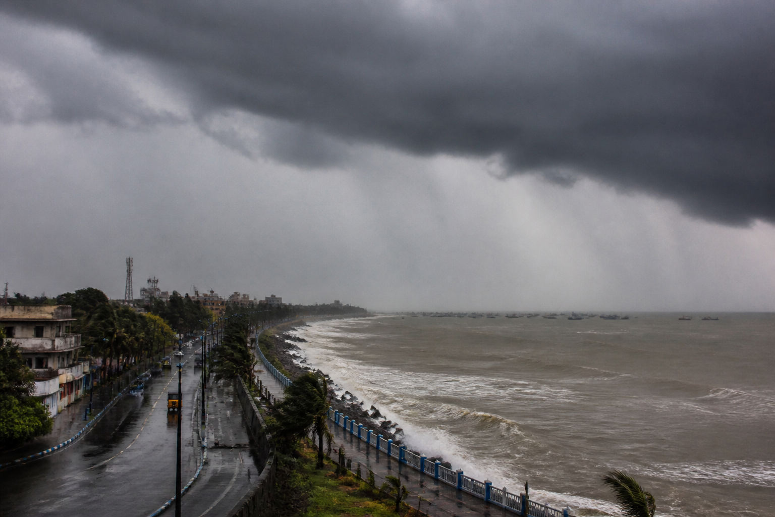
A low-pressure area over the north Andaman Sea is moving west-northwestwards and is forecast to strengthen over the Bay of Bengal, bringing the possibility of heavier rain and gusty winds to coastal areas, while the India Meteorological Department has not yet issued a cyclone warning.
The system developed from a cyclonic circulation over the north Andaman Sea and its neighbourhood. According to the Met bulletin cited by The Telegraph, the circulation extends up to 7.6km above mean sea level and is expected to move towards the west-central and adjoining northwest Bay of Bengal.
The system is likely to intensify first into a depression over the east-central Bay and subsequently into a deep depression over the west-central Bay. It is forecast to reach the west-central and adjoining northwest Bay near the south Odisha-north Andhra Pradesh coast around Wednesday morning.
Weather scientists are monitoring the system round the clock because October to December is a favourable period for weather systems over the north Indian Ocean to intensify into cyclones. However, the report noted that not every low-pressure system reaches cyclone intensity. If this system strengthens into a cyclone, it will be named Arnab, a name assigned by Bangladesh that means ocean or sea.
The system’s potential development is being shaped by competing atmospheric conditions. Warm seas provide heat and moisture that can support tropical systems, but strong vertical wind shear can weaken or limit intensification. A Met official in Calcutta said there was a strong possibility of vertical wind shear even as the monsoon began retreating from western parts of India.
Bengal is expected to see light rain until Tuesday, followed by heavier rain in coastal areas and some other pockets from Tuesday, according to the bulletin. Calcutta is not currently among the locations expected to receive heavy rain, although rain is likely on most days and may become more intense from Tuesday. North and South 24-Parganas are among the neighbouring areas that could receive heavy rain, while coastal districts may experience gusty winds.
The system’s eventual track will also determine whether parts of Bengal receive another spell of rain later in the week or early next week. The Calcutta Met official said the remnant of the system was more likely to move towards Uttar Pradesh and Bihar, where the monsoon remained active. If that occurs, north Bengal and some parts of south Bengal could see renewed rainfall.
The IMD’s position remains central to the evolving forecast. As of the report, it had not issued a cyclone warning, and the system’s final intensity and track remained dependent on how it develops over the coming days.
