


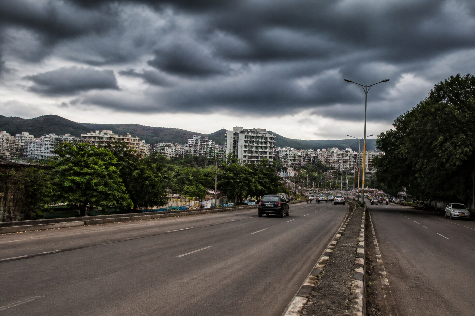
Maharashtra is approaching the withdrawal of the Southwest Monsoon with a 17 per cent rainfall deficit, but Pune’s weather record shows why a seasonal average alone cannot describe how a city experiences the monsoon. The district has recorded rainfall 20 per cent above normal cumulatively, yet Pune city’s Shivajinagar station has gone about 52 days without double-digit rainfall in a 24-hour period. That contrast points to a more complicated urban weather reality: rainfall can be adequate on paper while arriving unevenly across time and space.
The India Meteorological Department expects the Southwest Monsoon to begin withdrawing from Maharashtra around October 5 and to leave most of the state by October 10. Between June 1 and September 22, Maharashtra normally receives 953.2 mm of rainfall. This year, the state recorded 787.2 mm, according to the report published by The Indian Express, while the country’s rainfall was 15 per cent below normal over the same period.
For a state as geographically varied as Maharashtra, the aggregate number conceals major local differences. Ahilyanagar recorded a 42 per cent departure from normal rainfall, Sangli 24 per cent, Solapur 57 per cent and Nandurbar 34 per cent. At the same time, some locations experienced normal or excess rainfall. The result is not one uniform monsoon deficit, but a patchwork of surplus, shortage and prolonged dry intervals.
That distinction matters for cities because urban systems do not respond only to seasonal totals. Water storage, drainage, road conditions, groundwater recharge and local flooding are affected by when and where rain falls. The supplied report does not establish the effect of the current deficit on Pune’s reservoirs, municipal water supply or groundwater levels. It does, however, show that city-level rainfall observations can look very different from district-level or state-level totals.
Pune district recorded a weekly rainfall deficit of 82 per cent between September 10 and 16, according to the IMD data cited in the report. Yet its cumulative seasonal rainfall remained 20 per cent above normal. Satara showed an even sharper weekly deficit of 92 per cent during the same period, while its cumulative rainfall was still 25 per cent above normal. In Kolhapur, the weekly departure was 97 per cent, but seasonal rainfall was only 11 per cent below normal and was categorised as normal.
These figures demonstrate the difference between a short-period departure and a seasonal cumulative figure. A week with very little rain can coexist with a season that has already received substantial rainfall. Conversely, a seasonal deficit may be produced by repeated shortfalls, even if isolated heavy spells occur. For residents, however, the experience is immediate: a dry week affects daily weather, outdoor work, agriculture around the city and the timing of water-related decisions, regardless of what the seasonal average says.
Pune’s Shivajinagar station provides the clearest illustration of the gap between rainfall measurement and lived experience. The station recorded only 0.5 mm of rain in the 24 hours covered by the report. Chinchwad, Hadapsar and Pashan also recorded 0.5 mm each, while Magarpatta received 2 mm. Rain was more pronounced in Ambegaon, at 23 mm, and Dhamdhere, at 17.5 mm. Even within the wider Pune region, the same weather system therefore produced markedly different local outcomes.
A weather expert from Vagaries of the Weather said Shivajinagar had gone around 52 days without recording double-digit rainfall in a 24-hour period. Based on data since 2014, the expert said only one other year had seen a longer such period during the monsoon: 2018, when the station recorded 64 consecutive days without double-digit rainfall. The expert also said Shivajinagar had received 706 mm of seasonal rainfall this year.
The comparison with 2018 is useful because it places the current dry spell within a longer station-level record. It does not, by itself, establish a trend or explain why the dry spell occurred. The evidence supplied in the report supports a narrower conclusion: the current sequence is among the longest recorded at Shivajinagar in the period covered by the available data, and the station’s experience differs from the district’s cumulative rainfall position.
This is also an administrative challenge. Rainfall is measured through stations, but urban decisions are taken across wards, neighbourhoods and service networks. A city may have a rainfall reading from a primary station that does not represent conditions in peripheral areas or rapidly urbanising locations. The readings from Ambegaon, Dhamdhere and other parts of Pune show why localised monitoring matters when authorities assess weather impacts.
The report also shows that a rainfall deficit is not necessarily equivalent to an absence of rain. Maharashtra’s overall shortfall is substantial, but the state map includes areas with normal or excess rainfall. Pune district’s seasonal surplus sits alongside a very dry week and a prolonged absence of heavy daily rainfall at Shivajinagar. For public agencies, this makes the choice of indicator important. Seasonal cumulative rainfall can describe the broad water balance, while weekly departures and station-level observations reveal operational conditions.
The IMD forecast for September 23 included thunderstorms, lightning and gusty winds in Pune, the Pune Ghats, Nashik and its surrounding ghats, Ahilyanagar, Kolhapur and its ghats, Satara, the Satara Ghats, Solapur and Sangli. The report noted that the thunderstorm in Pune had not produced a significant amount of rain. This further underlines the difference between the presence of a weather event and the quantity of rainfall it delivers.
For urban governance, the distinction is important without requiring any assumption about the next monsoon. A thunderstorm warning may be relevant to public safety, transport operations and outdoor activity even when it produces little rain. A prolonged dry period may matter to water management and urban heat conditions, although the supplied material does not quantify those effects in Pune. The evidence therefore supports careful monitoring rather than a single conclusion about the city’s overall water position.
The institutional picture visible in the report involves at least two layers of information. The IMD provides forecasts and rainfall departures, while local weather stations supply measurements for specific parts of Pune. Independent weather observers add historical comparisons based on station data. These sources answer different questions: what weather is expected, how much rain has fallen, and how unusual the current pattern is compared with earlier years.
The larger issue is not simply whether Maharashtra ends the season with a deficit. It is whether urban planning and public communication can account for rainfall variability at the scale at which people experience the city. State-level totals are essential for understanding broad conditions, but they cannot replace local observations. District-level surpluses can coexist with city-level dry spells, and heavy rain in one part of a metropolitan region may not resolve conditions elsewhere.
Pune’s current figures confirm that monsoon performance has to be read across several timeframes: the seasonal total, the weekly departure, the 24-hour station reading and the length of dry intervals. They also show that a city’s rainfall story cannot be inferred from one number alone. The next developments to monitor are the monsoon’s expected withdrawal around October 5, its departure from most of Maharashtra by October 10, and how the IMD’s subsequent observations classify rainfall across Pune and the wider state.
