


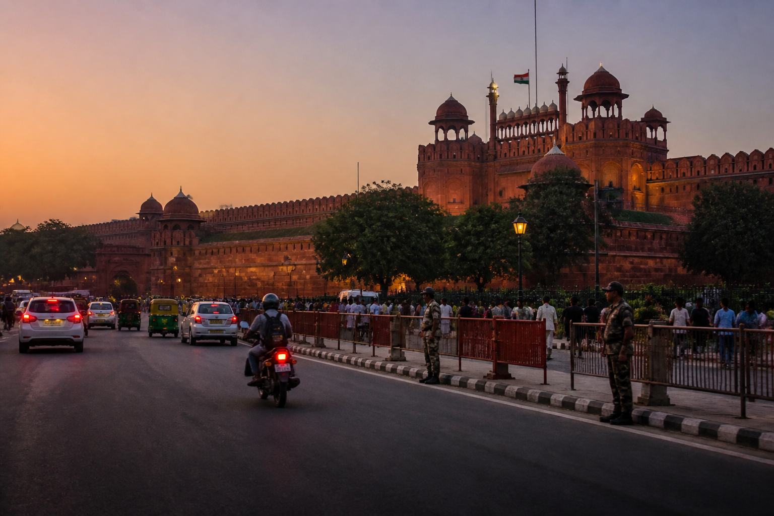
A recently filed chargesheet by the National Investigation Agency has added a new layer to the investigation into the November 10 blast near Delhi’s Red Fort. According to details reported by the Times of India, the vehicle carrying the explosive device was first taken towards Lal Mandir in Chandni Chowk before traffic and police presence prompted a change in direction. Thirteen minutes later, the vehicle exploded near Gate No. 4 of the Red Fort.
The account places Delhi’s street conditions inside the sequence of events surrounding the attack. It does not suggest that congestion prevented the blast. Rather, the chargesheet, as reported, indicates that traffic and visible police deployment affected where the vehicle could be positioned. That detail makes the incident relevant not only as a terrorism investigation but also as a case involving movement through one of the capital’s busiest and most heavily visited urban districts.
The blast killed 11 people and injured 29, according to the chargesheet. The reported impact extended beyond those directly at the site. Damage to nearby structures was assessed at Rs 17.7 lakh by agencies and authorities including the Delhi Metro Rail Corporation, the Archaeological Survey of India and the Public Works Department. The figures show how an attack in a high-footfall heritage and transport zone can affect several layers of the built environment at once.
The chargesheet reportedly states that Umar-un-Nabi attempted to park the explosive-laden Hyundai i20 near Lal Mandir in Chandni Chowk at 6.37pm. After making a U-turn, he reached the area near Gate No. 4 of the Red Fort, where the device was detonated at 6.50pm. CCTV footage is cited as part of the investigation. The reported sequence places the vehicle’s movement across a dense urban setting in the final minutes before the blast.
Chandni Chowk and the Red Fort precinct are not ordinary road environments. They combine heritage structures, commercial activity, pedestrian movement, public transport access, tourist circulation and security restrictions. The available report does not provide a full map of the route, traffic-control arrangements or emergency response times. It does, however, show that the attack unfolded within a landscape where the availability of road space and the presence of security personnel influenced vehicle movement.
That distinction matters for understanding the urban dimension of the case. Security around prominent public places is often assessed through fixed arrangements such as barricades, entry checks and police deployment. But the reported movement between Lal Mandir and the Red Fort also points to the importance of the spaces between protected sites: approach roads, parking areas, service lanes, market streets and points where vehicles interact with dense pedestrian zones. The chargesheet details, by themselves, do not establish a failure in any particular system. They do show that the wider street network formed part of the operational environment.
The NIA’s investigation, as described in the report, also reconstructs the alleged preparation and execution of the attack. The agency has said that the improvised explosive device was triggered through a remote command mechanism associated with one of the bomber’s shoes. Investigators reportedly recovered a metal piece from the vehicle, and forensic tests identified explosive-related substances on it. Other evidence cited in the chargesheet included a biological sample used to confirm the bomber’s identity through comparison with his parents’ DNA.
These details are presented as findings in an investigation and chargesheet, not as a judicial determination of guilt. The report also describes forensic comparisons involving explosives seized from alleged associates in Faridabad and material connected to the investigation in Nowgam, Jammu and Kashmir. The NIA has used those findings to link the alleged participants to what it described as a module. The extent to which the claims will be tested in court remains outside the information supplied in the report.
The reported evidence also illustrates the institutional spread of an urban security investigation. The case involved CCTV footage, police records, forensic examination, hospital post-mortem reports, DNA analysis and assessments of damage to public and heritage-related infrastructure. Each source addresses a different part of the event: movement, identity, cause of death, material evidence and consequences for the surrounding city. Together, they form the investigative record described in the chargesheet.
The human cost is recorded in the post-mortem findings cited by the NIA. Hospitals attributed the deaths to the effects of a high-intensity blast wave. Eleven people died and 29 were injured. Those numbers are the clearest measure of the attack’s immediate impact, but they do not capture the wider disruption to a district that serves residents, workers, visitors, traders and transport users. The supplied report does not quantify business interruption, changes in visitor movement or the duration of road closures, so those effects cannot be assessed here.
The Rs 17.7 lakh damage assessment provides a narrower but important data point. It covers damage assessed by agencies including DMRC, ASI and PWD, according to the report. The figure should not be treated as the total urban cost of the incident. It records assessed damage to nearby structures and public assets, while the chargesheet details supplied here do not include a complete accounting of medical expenses, lost income, commercial disruption or longer-term security measures.
The case also raises questions about how Delhi’s heritage precincts are managed, although the available material does not answer them. Lal Mandir, Chandni Chowk and the Red Fort are part of a connected public realm rather than isolated compounds. Their roads and access points are used for everyday commerce and movement as well as for tourism and public events. Any security framework in such locations must therefore operate within streets that cannot be treated as permanently closed or fully controlled spaces. The chargesheet offers evidence about one incident, not a comprehensive evaluation of Delhi’s security planning.
The reported sequence further shows why vehicle access and stopping points matter in dense districts. A vehicle that cannot be parked at one location may continue through the network and reach another. That observation is not a prediction about future incidents, nor does it establish that traffic management could have prevented the blast. It indicates only that road geometry, enforcement, police visibility and the availability of stopping space can affect how vehicles move through crowded urban areas. These are part of the built environment in which security operations take place.
The policy and administrative responsibilities are distributed across several institutions. Police and investigation agencies handle security and criminal investigation. Municipal and public works authorities manage roads and surrounding infrastructure. The ASI has responsibilities connected with protected heritage, while the DMRC operates nearby transport assets. Hospitals document injuries and deaths, and forensic agencies analyse material evidence. The damage references in the chargesheet demonstrate this institutional overlap, but the supplied report does not identify a single integrated command structure for the affected precinct.
The investigation also highlights the importance of preserving evidence in a crowded city. CCTV footage, vehicle examination, forensic testing, hospital records and witness accounts each contribute to reconstructing an event that lasted only minutes. The reported timing an attempted parking at 6.37pm and the explosion at 6.50pm illustrates how quickly investigators must connect movement, identity and material evidence. That reconstruction is central to the criminal case and also helps establish the relationship between the incident and the surrounding urban network.
What the evidence confirms is limited but significant. The NIA chargesheet, as reported, places the vehicle first near Lal Mandir and later near the Red Fort, attributes the change to traffic and police presence, and records 11 deaths, 29 injuries and Rs 17.7 lakh in assessed damage. It also describes a wider investigation involving alleged associates, forensic findings and recovered material. What remains uncertain from the supplied report is how security agencies assessed the threat before the incident, what emergency protocols were activated afterwards, and whether any changes were made to traffic or access management.
Those unanswered questions are important because the incident occurred in a public district where heritage protection, commerce, transport and crowd movement overlap. The chargesheet is primarily a criminal investigation document, not an urban planning review. Its details should therefore be read carefully: they establish the NIA’s case and the evidence it relies on, while the courts will assess the allegations. For Delhi’s built environment, the broader lesson is that the security of major public places depends not only on gates and compounds but also on the connected streets, movement patterns and institutions around them.
