Pune Weather Radar Boosts Western Ghats Forecasting
Pune, August 31, 2026: A new weather-monitoring system installed in Maharashtra’s Western Ghats is set to improve short-range forecasting for Pune and surrounding regions, strengthening the city’s ability to prepare for intense rainfall and other weather risks. The X-band Doppler radar commissioned at Mahabaleshwar will provide continuous atmospheric observations, offering authorities more detailed information during rapidly developing weather events.
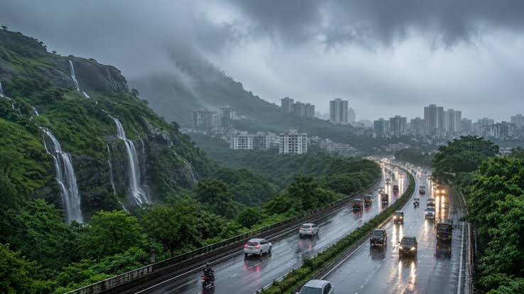
Installed at an elevation of about 1,400 metres, the radar is positioned to observe weather systems across complex mountainous terrain. Its location is significant because the Western Ghats can intensify rainfall and contribute to flash floods and landslides, making conventional weather observations less effective in some localised events. The system can track rainfall, cloud formations, storms, fog and strong winds in near real time. Forecast information covering periods of up to three hours is expected to support areas including Pune, Satara, the Konkan region and Mumbai. For Pune, the value of the weather radar extends beyond forecasting. Intense monsoon rainfall can quickly affect roads, low-lying neighbourhoods, transport networks and construction sites. More precise information on where heavy precipitation is forming could help civic agencies plan traffic diversions, drainage responses and emergency deployments before conditions deteriorate.
The weather radar is also expected to improve understanding of rainfall behaviour across hilly terrain. Urban planners and disaster-management experts increasingly regard such localised weather intelligence as important as cities expand into areas exposed to flooding and landslide risks. The installation forms part of Mission Mausam, a national initiative aimed at improving India’s weather observation, forecasting and climate services. The system is expected to contribute data for disaster preparedness, agriculture, aviation and water-resource management. Alongside the radar commissioning, the Indian Institute of Tropical Meteorology has entered into a collaboration with the Space Applications Centre of the Indian Space Research Organisation. The partnership will focus on developing satellite-based weather products covering areas such as climate change, lightning, intense convective storms and air quality.
The combination of ground-based radar observations and satellite information could provide a more complete picture of weather systems. Radar offers detailed local information, while satellites can monitor larger atmospheric patterns across wider areas. For Maharashtra’s urban centres, the immediate test will be how quickly this improved data reaches agencies and communities that need it. Better observation does not automatically reduce disaster risk. Forecasts must translate into timely warnings, coordinated emergency action and infrastructure decisions. As extreme rainfall becomes a growing planning concern, Maharashtra’s investment in more detailed weather intelligence could help cities move from reacting to disruption towards anticipating it. The effectiveness of the new system will ultimately depend on how well its information is integrated into everyday urban and disaster-management decisions.