


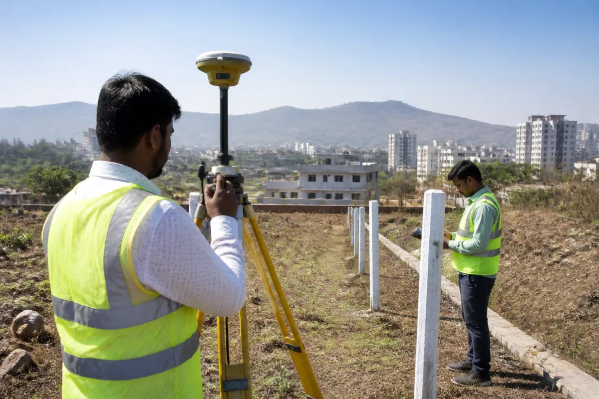
Pune land survey work that was stalled for eight to ten days because of a technical fault in the Survey of India’s GPS system is set to resume after the equipment was restored, according to officials from the Land Records Department. Fresh dates will be issued for pending measurement cases.
The GPS system is used to support accurate land measurements, determine property boundaries and provide technical information required in different types of measurement applications. Its temporary shutdown disrupted scheduled work and limited the department’s ability to complete measurements within the planned timelines.
The interruption affected applicants whose land measurement cases had already been scheduled. The Land Records Department officials said the system is now fully operational after the fault was repaired, allowing stalled cases to be taken up again.
Land measurement is an important administrative step in cases involving the identification of boundaries and the preparation of technical information related to a property. Delays in this process can affect applicants waiting for their cases to be processed, particularly where a measurement date has already been fixed and the work cannot proceed without the required technical system.
The disruption also highlights the dependence of routine land administration on specialised surveying equipment and technical systems. When such systems become unavailable, scheduled field work can be affected even if the underlying applications and administrative processes remain active. In Pune’s case, the Land Records Department said the impact was linked to the GPS system fault and that work would be restored after its repair.
Officials have not indicated that the pending cases will retain their earlier dates. Instead, new dates will be given to applicants whose measurements were delayed during the period when the system was unavailable. The revised scheduling is expected to allow the department to restart the cases that could not be completed within their original timelines.
The restoration applies to the measurement work supported by the Survey of India’s GPS system. The system’s role is to provide the technical information needed for accurate measurement and boundary determination, making its operation central to the affected cases.
For applicants with pending measurements, the next step is to await communication regarding the revised schedule. The Land Records Department’s stated course of action is to issue new dates and resume the delayed measurement cases now that the technical fault has been repaired.

