


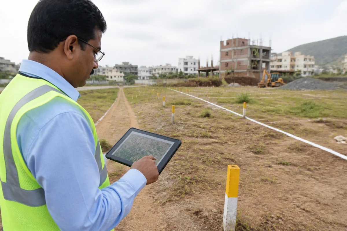
The PMRDA GIS app is being used across all nine talukas under the Pune Metropolitan Region Development Authority to digitally record field inspections, verify plots, monitor unauthorised construction and track development works. The authority says the system will make inspections more accurate, reduce delays and improve coordination between departments.
PMRDA has started using the Geographic Information System application as part of efforts to speed up its day-to-day operations. The system is intended to help officials record information about land-related issues, measurement difficulties, obstructions and encroachments during field visits.
Under the new process, details collected during an on-site inspection can be entered digitally and updated directly on PMRDA’s GIS portal. This will allow data from different departments to be brought together at a single location, according to the information released about the initiative. The authority expects this to improve the consistency of records used for inspections and administrative decisions.
The application will also support the recording of unauthorised construction, fire-safety inspections and reviews of development-work progress. These functions are particularly linked to the authority’s responsibilities across the expanding Pune Metropolitan Region, where land parcels and construction activity are spread across multiple talukas.
PMRDA has provided special training to officers and employees before beginning field-level use of the system. The application includes a login process, department-specific access rights, location marking on maps and digital registration of different applications. These features are intended to ensure that information is linked to the correct location and can be accessed according to departmental responsibilities.
Asha Jadhav, head of PMRDA’s GIS cell, said the system was being used to improve the accuracy of information collection and speed up decision-making. Deepak Varade, director of development permission and planning at PMRDA, said officers from different departments would be able to record information related to their responsibilities accurately during site inspections, making interdepartmental coordination easier.
The shift from field observations recorded through separate processes to a common digital portal is expected to create a more integrated record of plots, inspections and development activity. However, the immediate effectiveness of the system will depend on the accuracy and timeliness of entries made by field officials, as well as the regular updating of the portal. PMRDA has begun the implementation and operational use of the application across its jurisdiction.

