


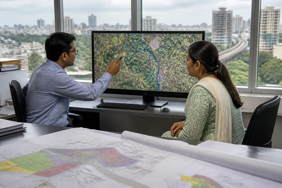
The Pune Metropolitan Region Development Authority (PMRDA) has launched a GIS-based geoportal that will allow citizens to obtain zone certificates, part plans and site-elevation certificates online within seconds, replacing processes that previously took between three and 10 days.
The digital service has been developed under the Maharashtra Right to Public Services Act and the Government Process Re-engineering initiative. PMRDA said the portal is intended to make planning-related services faster, more transparent and easier to access, while reducing office visits and follow-up by applicants.
Under the earlier system, applicants seeking a zone certificate typically had to wait seven days. Part plans took three days, while site-elevation certificates required up to 10 days. Officials also had to examine paper maps of the regional plans before processing applications.
PMRDA has digitised the Pune Regional Plan approved in 1997 and linked it to a geographic information system. The authority has also used a digital elevation model, topographic sheets and other geographic information to automate the preparation of site-elevation certificates.
Citizens will be able to apply from home through the portal. Certificates will carry QR codes and barcodes, allowing their authenticity to be checked digitally. PMRDA said the use of standardised geographic information would help reduce human errors and unnecessary intervention in the certification process.
The geoportal covers the boundaries of 674 villages within the PMRDA area. It includes more than 25 geographic and administrative layers, including metro routes, transit-oriented development zones, the affected area of the proposed Purandar airport, the National Defence Academy buffer zone, wildlife sanctuary boundaries, railway lines and flood lines.
The inclusion of these layers gives applicants access to preliminary official information about restrictions and planning conditions affecting a plot. The portal can show information related to nearby roads, flood lines, metro corridors and regional planning provisions before an applicant proceeds with a development-related process.
For PMRDA officials, the authority said the system would reduce time spent on routine work and allow greater attention to technical scrutiny and complicated cases. The portal also includes user guidance, frequently asked questions and a facility for submitting feedback.
The move is significant for landowners, developers and consultants working across the expanding Pune metropolitan region, where planning permissions and land-use decisions can involve several overlapping geographic and administrative constraints. The portal brings some of that information into a single digital interface, although the service details supplied by PMRDA do not specify whether every certificate application will be processed without manual review in cases requiring technical scrutiny.
PMRDA Metropolitan Commissioner Dr Abhijit Chaudhary said the authority was committed to using digital governance to provide administration that is transparent, quicker and more accessible. The authority also said its digital model could be useful for other regional development authorities in Maharashtra.
The geoportal is expected to serve as the online access point for the three certificates and associated location-based information. PMRDA’s stated next step is to use the platform to provide citizens with planning information and certificates without delay through a digitally verifiable process.

