


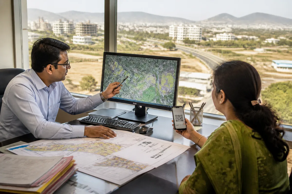
The Pune Metropolitan Region Development Authority has launched a GIS-based geoportal that allows citizens to obtain zone certificates, part plans and site elevation certificates online, replacing a paper-based process that could take up to 10 days.
The service covers 674 villages within the PMRDA jurisdiction and has been introduced under the Right to Public Services Act and the state government’s administrative process re-engineering initiative. Applicants can apply from home, receive the documents online and verify their authenticity through QR codes.
Earlier, obtaining a zone certificate took seven days, while a part plan required three days and a site elevation certificate could take up to 10 days. The process involved manually checking paper maps of the Pune Regional Plan and verifying the location and elevation of individual plots.
The new system digitises the Pune Regional Plan approved in 1997 and combines it with digital elevation models, topographic sheets and other geographical data. PMRDA said the platform automates the location and planning checks that previously required manual intervention. It will also provide a part plan along with the zone certificate.
The portal contains more than 25 geographical information layers relevant to land and development decisions. These include metro routes, transit-oriented development zones, the affected area of the proposed Purandar airport, the National Defence Academy buffer zone, the High Energy Materials Research Laboratory boundary, railway lines and flood lines.
This means that applicants seeking land-related documents will be able to see preliminary information about infrastructure alignments, planning zones and certain physical constraints around a plot before proceeding with further applications or development-related decisions. The available information is intended to make the document process faster and provide greater visibility into the planning conditions recorded by the authority.
Dr Abhijit Chaudhari, metropolitan commissioner of PMRDA, said the system would allow citizens to access preliminary information about roads, flood lines, metro routes and planning around plots from their homes. He said making all three certificates available online without delay would save time and make administration more transparent, efficient and citizen-friendly.
The geoportal’s launch shifts an important part of land-information access from authority offices to a digital platform. Its coverage of the wider PMRDA region also places planning information for villages and developing urban areas within a single system, rather than requiring applicants to depend only on physical maps and office-based verification.
PMRDA has not provided, in the information available, details of the portal’s operating address, application fees, service-level monitoring process or arrangements for applicants who cannot use digital services. The authority’s stated next step is to make the three certificates available online through the new geoportal, with QR-code verification incorporated into the documents.

