


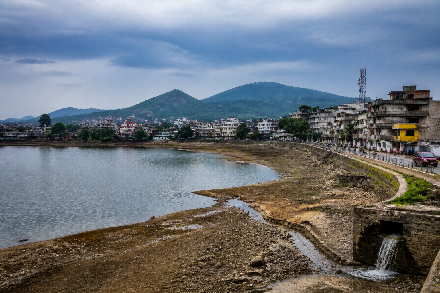
The 2026 southwest monsoon has left east and northeast India with its lowest seasonal rainfall since 1901, according to the India Meteorological Department, turning what is usually one of the country’s wettest regions into the zone with the sharpest rainfall deficit. The outcome is significant not only because of the scale of the shortfall, but because the monsoon remains central to agriculture, water supply and economic activity across states where seasonal rainfall is a foundational part of the urban and rural economy.
The IMD said rainfall in east and northeast India totalled 1,017.1 mm during the June-to-September season, 26% below the region’s long-period average. The region received only 74% of its long-period average, the steepest departure among India’s four broad geographical zones. The South Peninsula also recorded a substantial shortfall, receiving 542.0 mm, its fourth-lowest monsoon rainfall since 1901 and second-lowest since 2001.
The national monsoon outcome was deficient as well, with the seasonal total falling below 90% of the long-period average. But the regional pattern was uneven. Central India received 94-106% of its long-period average, while northwest India recorded 92-108%. In contrast, east and northeast India recorded a 26% deficit and the South Peninsula a 24% deficit. The gap between these zones is important because national rainfall totals can conceal the localised pressure created when a particular region receives substantially less rain than its normal seasonal requirement.
Within the northeast, the deficit was especially severe in Meghalaya, which received 60% less rainfall than normal. Manipur recorded a 45% shortfall, Arunachal Pradesh 44% and Assam 28%. All four states were classified as deficient. Nagaland and Sikkim were exceptions: Nagaland recorded rainfall 6% above normal, while Sikkim received 10% more than its long-period average and recorded normal to above-normal seasonal rainfall.
This state-level spread shows why a regional rainfall average is an incomplete measure of water stress. The northeast is often treated as a single high-rainfall landscape, but the IMD figures show that its seasonal experience in 2026 varied sharply between states. A surplus in Nagaland or Sikkim did not offset the deficits in Meghalaya, Manipur, Arunachal Pradesh and Assam, particularly where communities and economic activities depend on the timing and distribution of rainfall rather than only on the national or regional total.
The urban implications begin with water systems. The supplied IMD assessment identifies water supply as one of the activities heavily dependent on the southwest monsoon in the northeast. Lower seasonal rainfall can therefore affect the replenishment of sources used by towns and cities, even though the available material does not quantify reservoir levels, groundwater conditions, municipal supply reductions or household-level shortages. Those indicators will be necessary to establish how the rainfall deficit is translating into direct urban stress.
For cities in Assam and the wider northeastern region, the rainfall figures also complicate the usual understanding of climate risk. Urban resilience is often discussed primarily through flooding, drainage capacity and extreme rainfall. A deficient monsoon introduces a different pressure: the need to maintain reliable water access and agricultural supply when the season delivers less rain than expected. The same region can therefore face intense rainfall events at particular times while still ending the season with a substantial overall deficit. The IMD data supplied here does not provide an event-by-event breakdown, but it establishes that seasonal scarcity and short-duration rainfall risk should not be treated as opposites.
The agricultural consequences are similarly important. The IMD states that the northeast relies heavily on the southwest monsoon for agriculture, water supply and other economic activities. A 60% shortfall in Meghalaya, a 45% deficit in Manipur, a 44% deficit in Arunachal Pradesh and a 28% deficit in Assam indicate that the pressure was not confined to one state or one type of landscape. However, the supplied report does not provide crop-wise losses, sowing data, irrigation coverage, reservoir storage or farm-income estimates. Those omissions matter because rainfall departure alone cannot show the full economic effect without information on when the rain fell and which sectors were exposed.
The season also highlights the limits of forecast-based planning when the eventual regional pattern diverges from the initial expectation. On May 29, the IMD forecast normal rainfall for the northeast, at 94-106% of the long-period average. The actual outcome was a 26% deficit. At the same time, the May forecast had projected below-normal rainfall for central, southern peninsular and northwestern India, yet central and northwest India ultimately recorded rainfall within their respective normal ranges, while the South Peninsula remained deficient.
This divergence does not by itself establish that the forecast was inadequate. Seasonal forecasts describe probabilities and broad patterns, while local impacts depend on rainfall timing, distribution and the performance of shorter-term weather systems. But it does show why public agencies cannot treat a seasonal outlook as a substitute for continuous monitoring. Water managers, municipal authorities and agriculture departments need to compare forecast signals with actual rainfall as the season develops, particularly in regions where water supply and livelihoods are strongly monsoon-dependent.
Institutionally, the rainfall numbers point to a coordination challenge. The IMD provides the seasonal assessment and regional departures, but the consequences are managed through several systems: municipal water supply, state water resources departments, agriculture agencies and local administrations. The supplied material does not identify any specific response measures, funding decisions or emergency plans following the 2026 deficit. That makes the next stage of scrutiny important: whether authorities publish information on water availability, agricultural impacts and local preparedness, and whether those responses are organised around state-level conditions rather than a single northeast-wide average.
The contrast between the four broad zones also raises a data and governance issue. India’s national monsoon total was deficient, but central and northwest India remained within their respective normal ranges. A national figure can therefore provide an important overview without adequately representing the exposure of individual states or cities. For urban planning, the more useful questions concern the reliability of local sources, the condition of distribution networks, the dependence on seasonal recharge and the capacity of administrations to respond when rainfall falls below normal.
The available evidence confirms three facts. East and northeast India experienced its lowest monsoon rainfall since 1901; the region’s 26% deficit was the country’s sharpest among the four broad zones; and the most severe state-level shortfalls occurred in Meghalaya, Manipur, Arunachal Pradesh and Assam. It also confirms a marked difference between the IMD’s May forecast for normal northeast rainfall and the eventual seasonal result. What remains unestablished in the supplied material is the precise effect on reservoirs, groundwater, municipal supply, crops, household access and local economies. Those measures will determine how a record rainfall deficit translates into an urban and regional water crisis, and they are the indicators that authorities and residents will need to watch after the monsoon ends.
