


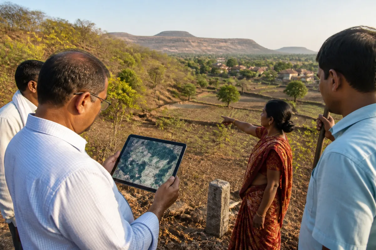
The Nashik district administration will procure satellite imagery from 2005 to improve the verification of claims filed under the Forest Rights Act, a move expected to help resolve boundary disputes, clear appeals and speed up field inspections for tribal applicants.
District collector Ayush Prasad told the Times of India that Rs 16 lakh had been sanctioned for the project under the guidance of guardian minister Girish Mahajan. The funds have been allocated from the district annual plan.
The satellite images will be sourced from the Maharashtra Remote Sensing Application Centre and will cover the entire district. Officials will use the consolidated dataset to examine land status, land use and geographical conditions as they existed in 2005, the baseline period relevant to the claims being assessed.
A senior district administration official said the technology would allow authorities to cross-check claims involving occupation of forest land, actual land utilisation and boundaries. The official described the verification process as a thorough exercise that can become difficult when historical evidence or precise boundary information is unavailable.
According to official data cited in the report, Nashik district received 60,074 individual forest rights claims. Of these, 33,390 were approved and 25,537 were rejected. A total of 10,147 claims remain pending at different administrative stages, including 1,035 before the district-level committee and 112 before the sub-divisional committee.
The pending cases also include 2,673 claims awaiting table measurements and 147 approved claims for which title deeds have not yet been distributed. The district administration plans to use the imagery to support field verification and the examination of pending appeals, particularly where boundary ambiguity or missing evidence has delayed decisions.
The satellite data will also be cross-referenced with 21,574.06 hectares covered by approved land claims in Nashik district. Officials said the exercise could help clear the 1,035 pending district appeals and enable eligible beneficiaries to receive corresponding entries in 7/12 land records without further delay.
The Forest Rights Act requires authorities to examine evidence related to the occupation and use of forest land before claims are settled. By providing a historical reference for conditions in 2005, the Nashik administration’s project is intended to give field officers an additional basis for assessing disputed land use and geographical boundaries.
The district administration is expected to procure the imagery from the Maharashtra Remote Sensing Application Centre and use it during the appeal-clearing and field-verification process. The report did not specify a completion deadline for the procurement or for disposal of all pending claims.

