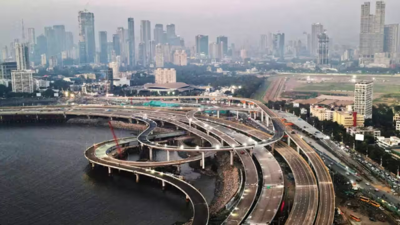
Mumbai’s regional road strategy is set to widen beyond the city, with two proposed ring routes adding about 307 km to the planned network across the Mumbai Metropolitan Region. The routes are designed to combine existing corridors with new infrastructure, creating alternative paths around congested urban areas. Their significance extends beyond faster driving: the network could influence freight movement, development patterns and where future economic activity takes place across the region. The proposed eighth ring would cover roughly 197 km, connecting Sewri with Thane and Navi Mumbai before returning through the Mumbai Trans Harbour Link. The alignment would use parts of the Eastern Freeway system, roads towards Thane and links towards Chirle and the Jawaharlal Nehru Port region.
The ninth route, extending about 110 km, would create a different loop between South Mumbai, the western suburbs and Thane. It is planned to run through the coastal road network towards Borivali before connecting eastwards through the proposed Thane-Borivali Twin Tunnel and returning through eastern corridors. Importantly, the Mumbai ring road network does not represent 307 km of entirely new construction. Instead, the strategy depends on connecting completed roads with projects under construction or still being planned. That approach can reduce duplication of major corridors, but it also makes the final network dependent on the timely completion and integration of several separate projects. The proposed routes are expected to operate as access-controlled corridors, with limited entry points and some tolled sections. Their stated purpose is to move longer-distance traffic away from internal city roads. That could improve journey reliability for freight and inter-city movement, particularly around Thane, Bhiwandi and Navi Mumbai, where industrial and logistics activity is expanding.
But road capacity alone does not guarantee sustainable mobility. Urban transport specialists point out that additional high-speed corridors can also encourage longer car journeys and dispersed development if they are not coordinated with public transport and compact urban planning. The Mumbai ring road network could therefore become an important piece of regional planning rather than simply a traffic solution. Connections with metro corridors, railway stations, logistics hubs and pedestrian infrastructure will determine whether the investment supports broader accessibility or mainly benefits private vehicles and commercial traffic. MMRDA is targeting 2029 for both proposed loops to become operational. However, detailed engineering, traffic assessments, interchange design and the cost of connecting individual projects are still being worked out.
For Mumbai and its surrounding urban centres, the next challenge will be integration. A connected regional road system can distribute traffic more efficiently, but its long-term value will depend on whether infrastructure expansion is matched by public transport, environmental safeguards and development that brings jobs and services closer to where people live.