


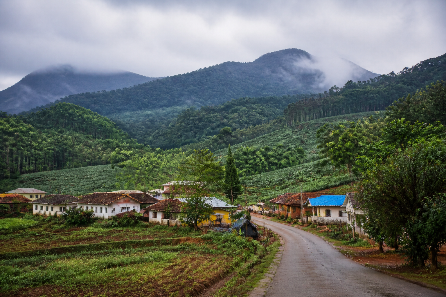
Karnataka’s unanimous rejection of the Centre’s latest Western Ghats Ecologically Sensitive Area draft has exposed a difficult planning problem: how to protect ecologically important landscapes without applying broad land classifications to farms, plantations, homes and public-use spaces. The state has asked for one year to conduct a ground-level survey before the notification is finalised, arguing that the boundaries must distinguish forests from the settlements and productive land that already occupy the region.
The resolution, adopted by both the legislative assembly and council, followed a discussion on the Kasturirangan report and the Centre’s seventh draft ESA notification. Moved by Chief Minister DK Shivakumar, it calls for a survey led through the revenue department and challenges what Karnataka describes as imprecise demarcation. Shivakumar also announced a committee headed by a retired judge, with revenue and forest officials, farmer associations, industrialists and ecology experts included in the panel.
The immediate dispute is about the map. According to the report, the draft issued on July 27 proposes to bring 20,668 sq km across 33 taluks and 1,449 villages in 10 Karnataka districts under the ESA category. The districts listed are Belagavi, Chamarajanagar, Chikkamagaluru, Kodagu, Hassan, Uttara Kannada, Dakshina Kannada, Mysuru, Shivamogga and Udupi. The proposal forms part of a larger plan covering 56,000 sq km across six Western Ghats states.
Those figures explain why boundary-making is not a technical detail. A designation covering thousands of square kilometres and more than a thousand villages can shape how land is administered, what activities face restrictions and how residents understand their future rights. Karnataka’s resolution specifically objects to agricultural land, plantations, homes and public utility spaces being included alongside forested areas. It also argues that declaring an entire village ecologically sensitive because one-fifth of it falls within forest limits is unscientific.
This is the central institutional question raised by the dispute: which government department has the most accurate view of land use? Shivakumar said drone surveys tend to show the entire topography as green, while a revenue-department survey would be needed to distinguish forests, farms, plantations and settlements. The disagreement is therefore not simply between development and conservation. It is also a disagreement over the evidence used to define the landscape and the administrative system responsible for converting that evidence into regulatory boundaries.
Remote sensing and aerial imagery can show vegetation cover and terrain at scale, but the state’s position is that such a view may not establish ownership, settlement patterns or the precise distinction between forest land and cultivated land. Revenue records, forest records and ground verification may classify the same area differently. The report does not provide the underlying maps or methodology used in the draft, so the exact nature of the boundary errors alleged by Karnataka cannot be independently assessed from the supplied material. What is clear is that the state wants the final notification to be based on more granular information.
The livelihood question is equally important. Karnataka’s resolution says the draft does not provide economic assistance or alternative livelihoods for affected residents. That objection places regulatory protection within a wider governance framework: restrictions can only be implemented sustainably when the people living within or near protected landscapes understand the rules, have clarity over land status and are not left to absorb the economic costs alone. The state has consequently asked that farmland, plantations, settlements and public-use spaces be excluded from ESA limits.
The dispute also shows how conservation policy can become entangled with unresolved land administration. During the legislative discussion, members raised Bagar Hukum, forest rights, deemed forests, land grants and pending court cases. Shivakumar said these matters would be taken up separately, indicating that Karnataka’s disagreement with the ESA draft sits alongside older questions about how land was assigned, recorded and classified. The report does not establish how each of these issues would interact with the proposed ESA boundaries, but their presence highlights the layered nature of land governance in the Western Ghats.
The state’s response has both a negotiating and a review component. A delegation is expected to travel to Delhi to present Karnataka’s case, while the committee announced by the chief minister is intended to examine the draft’s shortcomings. Shivakumar also said senior advocates would be appointed to present the state’s stand before the Supreme Court in relation to the Centre’s Kasturirangan report notification, after opposition leader R Ashok raised questions about National Green Tribunal directives.
Karnataka’s position, as described in the report, is not a rejection of the Kasturirangan committee’s recommendations in principle. Shivakumar said the state wanted them to be scientifically revised in Karnataka’s interest. That distinction matters. The state is attempting to preserve the objective of protecting forests while opposing a method that, in its view, risks treating entire villages and mixed-use landscapes as uniform ecological units.
The governance challenge is that the Western Ghats do not fit neatly into a single administrative category. They contain forests, farms, plantations, homes, public facilities and areas with unresolved legal status. A notification designed around ecological sensitivity must therefore operate across multiple records, departments and levels of government. The Karnataka resolution shows the consequences when the ecological logic of a regional map meets the legal and economic complexity of village-level land use.
The issue also carries a public-safety and enforcement dimension. Shivakumar cautioned against encroachment on forest land and the poaching of wild animals, saying surveillance had improved and cameras were tracking both trespassers and animal movements. He urged people to surrender hunting guns and warned that violations would lead to police action. These remarks indicate that the state is distinguishing between protecting forests from encroachment and poaching, and protecting residents whose homes or productive land may be included in a wider ESA boundary. The report does not say how enforcement responsibilities would be divided under the draft notification.
The proposed one-year survey window is therefore more than a request for administrative delay. It is a demand to change the basis on which the decision is made. Karnataka wants the Centre to move from broad regional identification towards a parcel- and settlement-sensitive process that can separate forested areas from farms, plantations and inhabited spaces. Whether that process can be completed within a year, and how its findings will be reconciled with existing court proceedings and forest records, remains to be established.
The Centre’s draft gave states 60 days to file objections. Karnataka has now formally set out its objections through a unanimous legislative resolution, while the chief minister has committed the state to a committee, a Delhi delegation and legal representation. The next stages will determine whether the dispute produces a revised boundary framework or a prolonged conflict between the proposed ecological designation and the state’s land-use claims. The evidence presently confirms a sharp disagreement over demarcation, livelihood safeguards and institutional responsibility; it does not yet establish how the final ESA notification will be redesigned.
