


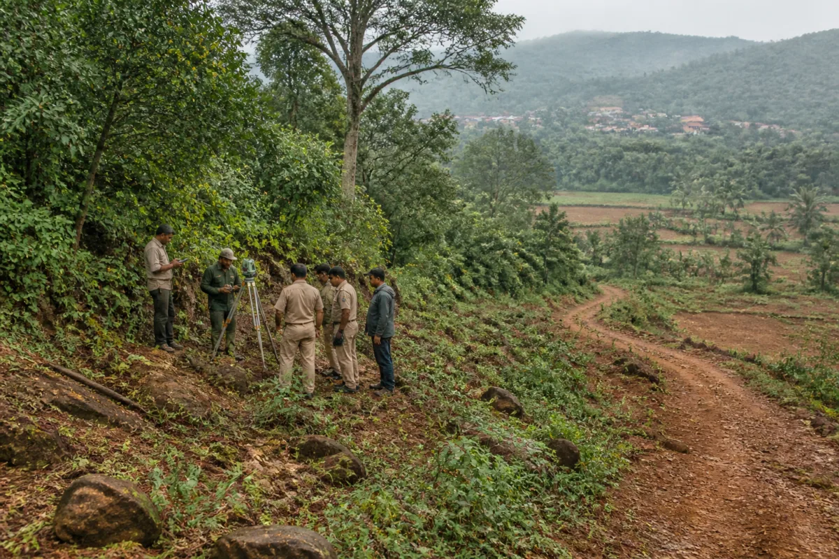
The Karnataka High Court has directed the state government to identify and map forests and forest-like areas that have not been notified, recognised, classified or adequately recorded, opening a statewide exercise with consequences for land administration and forest protection.
In an order passed on November 17, Justice Suraj Govindaraj directed the principal secretary of the forest department to undertake the exercise across Karnataka. The direction is not limited to a particular region, forest type or category of land.
The state has been given nine months to complete the identification and mapping exercise, publish a draft inventory and consider objections. Within the following three months, it must begin statutory proceedings for notification, declaration or another form of protection. The court said those proceedings will remain subject to the timelines and procedures prescribed under the applicable law.
The direction arose from a batch of petitions filed by people claiming ownership of land in villages in Sakleshpur taluk of Hassan district. Some of the petitioners operate resorts or homestays. They challenged notices issued by the forest department alleging encroachment on forest land, arguing that the disputed properties were revenue lands.
The forest department told the court that the land had previously been known as “Moorkangudda Block”, a state forest. However, after examining the material before it, the court noted that the government had dropped the proposal covering the entire block in 1924.
The case illustrates the administrative difficulty created when historical forest references, revenue records and present-day land claims do not align. A statewide inventory could provide a common evidentiary base for examining such areas, but the order also requires a formal process through which affected parties can raise objections before protection measures are pursued.
For landowners and businesses operating in disputed areas, the process may bring closer scrutiny of property records and land-use claims. For the state, the immediate task is to establish the scope of the exercise, identify the records and field evidence to be used, and publish an inventory that can withstand objections and subsequent statutory review.
The supplied report does not provide details of the court’s full reasoning, the methodology to be used for mapping, or the department’s implementation plan. Those details will be important in assessing how the order affects land records, development activity and forest governance across Karnataka.

