


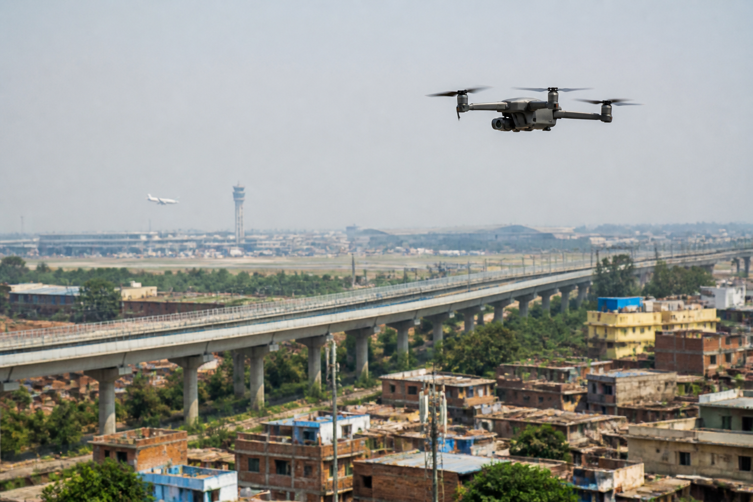
India’s drone rules are becoming harder for ordinary users to ignore as unmanned aircraft move from specialist equipment into weddings, farms, property marketing, land surveys and social-media production. A report published by NDTV Business on September 5, 2026, describes an airspace system divided into green, yellow and red zones, and the consequences of flying into a restricted area without the required permission.
The immediate problem is not simply that more drones are in the sky. It is that the number of people using them is growing faster than public understanding of the rules that govern them. The result is a widening gap between the apparent informality of a drone flight and the seriousness with which authorities may have to treat an unauthorised aircraft near an airport, military installation or other sensitive location.
According to the report, India had nearly 40,000 registered drones and approximately the same number of DGCA-certified remote pilots as of February 2026. It also had 244 approved drone training schools. These figures indicate an ecosystem that is no longer confined to specialist operators. The report identifies wedding videographers, farmers, real estate agents, small businesses, landscapers and influencers among the users bringing drones into ordinary commercial and personal activity.
That expansion creates a regulatory challenge familiar to cities adopting new technologies: the equipment becomes accessible before the rules become common knowledge. A drone may be purchased for a single event, used by an inexperienced operator and flown in an area that appears open and harmless. Yet the same location may sit close to controlled or sensitive airspace, or may be subject to a temporary restriction that was not in place during an earlier flight.
India’s airspace framework, as described in the report, is organised into three colour-coded categories. Green zones generally cover open fields, rural areas and many residential neighbourhoods. Flights can take place up to 400 feet without seeking additional permission, provided the drone is registered where registration is required.
Yellow zones represent controlled airspace, including areas near airports, city centres and other sensitive corridors. Permission through the Digital Sky platform is required before flying in these areas. The report says low-risk approvals generally arrive quickly, but the requirement remains important: an operator cannot treat a familiar location as automatically available for flight.
Red zones impose the strictest restriction. They include international borders, military installations, Parliament and other high-security locations. According to the report, no drone may be flown in these zones without explicit government clearance. The practical implication is that the legal and operational difference between a green and red location can be substantial even when the physical distance between them is not obvious to a casual user.
The map is also not permanently fixed. The report notes that restrictions may change during elections, cricket matches, visits by high-profile individuals and national holidays. A place shown as green at one point may later be marked yellow because of a temporary operational or security requirement. For users, this means checking the Digital Sky map immediately before every flight is more reliable than depending on a previous visit or an assumption that local conditions have not changed.
This is where drone regulation becomes an urban-management issue rather than merely a matter of hobbyist compliance. Cities contain airports, government facilities, transport corridors, dense neighbourhoods, event venues and large gatherings within relatively short distances of one another. A flight intended to record a wedding or property may therefore intersect with an airspace system designed around aviation safety and security.
The enforcement problem begins when an unauthorised drone enters restricted airspace. Amardeep Singh, founder and chief executive of counter-drone technology company Armory, told NDTV that such an aircraft is not automatically a security threat, but that the event must be understood quickly and accurately. Authorities need to establish the drone’s location, origin, movement and, as far as possible, the identity of its operator.
That sequence matters because detection alone does not answer the central questions. The report says modern drones can change altitude and flight paths, while some may alter their communications when they encounter interference. Authorities may use radio-frequency sensing to identify signals and Drone ID systems, where available, to connect an aircraft with its operator. But Drone ID is not universal, so a complete digital trail cannot always be assumed.
The distinction between an accidental violation and a deliberate approach to a sensitive facility is especially significant. A recreational drone that drifts beyond its permitted area presents a different concern from one that repeatedly circles a protected location. However, the report emphasises that the difference may not be immediately clear to a sensor or a person responding to the incident.
Singh described intent as the more difficult question. Artificial intelligence and machine learning may help operators assess signals and flight behaviour more quickly, but technology alone cannot reliably establish intent in every situation. The response therefore depends on a layered process: detecting the aircraft, tracking it, identifying it, assessing the circumstances and then deciding what action is appropriate.
That final stage also explains why a counter-drone response cannot be reduced to simply disabling every unauthorised aircraft. In a crowded area, bringing down a drone could create risks for people below. The report says trained human operators continue to make the final decision, even as India develops domestic counter-unmanned-aircraft technology with greater attention to threat classification and behavioural analysis.
For drone users, the regulatory system places a substantial responsibility on the operator. The report states that drones weighing more than 250 grams must be registered and assigned a Unique Identification Number through the Digital Sky platform. It also says a Remote Pilot Certificate is required for flights involving drones above the nano category or for commercial operations. The precise obligation may depend on the drone, the flight and the applicable rules, but the broader principle is clear: buying a drone does not by itself authorise its use everywhere.
The reported consequences of violations range from fines and confiscation to blacklisting from future registration and, in serious cases, imprisonment. The report also says that claiming ignorance of a red zone would not generally serve as a defence. These consequences make the information gap more consequential for occasional users, who may not think of themselves as aviation participants but are still operating an aircraft in regulated airspace.
The cost of equipment further broadens the issue. The report places an entry-level DJI Mini 2 SE at around Rs 46,500, a DJI Mini 4 Pro at approximately Rs 99,999 and a DJI Air 3 at about Rs 1,35,500. Those prices do not include registration, training or insurance costs for commercial use. As drones become a routine business expense for wedding videographers, property marketers and other small operators, compliance becomes part of the cost and administration of urban services rather than an optional technical detail.
The evidence in the report points to a system undergoing two forms of expansion at once. The first is the growth of legitimate drone use, reflected in registrations, certified pilots and training schools. The second is the growth of the response infrastructure needed to manage flights that cannot immediately be classified. More aircraft and more operators increase the importance of reliable identification, current airspace information and trained decision-makers.
The policy challenge is therefore not simply to restrict drones. It is to make the rules visible and usable for the people who now encounter them. A professional operator may understand registration, certification and airspace permissions, while a family member recording a wedding may not. Both can create an incident if they fly without checking the current map, but their knowledge and intentions may be very different.
For urban authorities, the question is how the formal airspace system connects with everyday places and events. Weddings, festivals, sporting fixtures, property sites and public gatherings are not isolated from the wider city. Temporary restrictions may be necessary, but they also make real-time communication more important. The report does not establish how consistently users receive such information or how enforcement varies by location, leaving those issues unresolved.
What it does establish is that India’s drone ecosystem has reached a scale at which airspace awareness can no longer remain a specialist concern. Nearly 40,000 registered drones, a comparable number of certified remote pilots and hundreds of training schools describe an expanding network of operators and machines. The regulatory system must manage that network while distinguishing mistakes from deliberate threats and protecting people on the ground.
The next stage of India’s drone governance will depend on how effectively registration, mapping, pilot training, detection systems and human assessment work together. For users, the operational lesson is immediate: check the Digital Sky map before every flight, comply with registration and certification requirements, and do not assume that a previously permitted location remains available. For authorities, the continuing task is to ensure that a crowded sky can be interpreted as quickly and accurately as it is monitored.
