


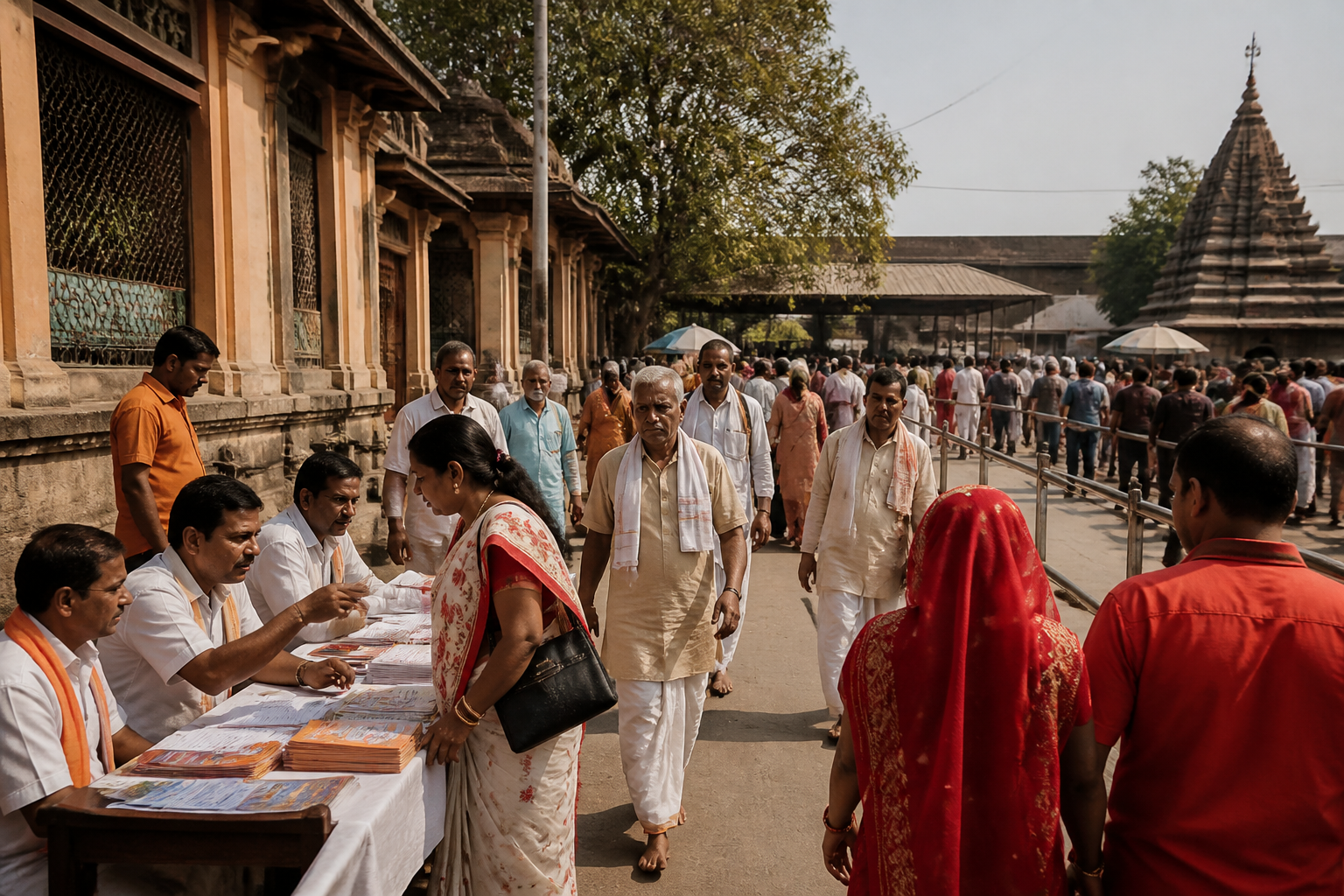
Gaya’s Pind Daan arrangements are being redesigned around a combination of digital information, visitor identification, multilingual assistance and physical infrastructure. The measures announced by Gaya district magistrate Shashank Shubhankar for Pitripaksh show how a pilgrimage administration is attempting to move beyond crowd management and provide a more integrated service system for visitors.
The district administration’s stated priority is to make the pilgrimage safe, comfortable and hassle-free. That objective is significant because Pitripaksh brings devotees from different parts of the country to Gaya for rituals including pind daan, tarpan and shraadh. The administration’s own description of the event frames it not simply as a religious gathering, but as a recurring urban management challenge involving transport, accommodation, health, emergency response, crowd movement and access to ritual sites.
The most visible change is the attempt to place official information in one digital system. The dedicated ‘Pind Daan Gaya Ji’ website and mobile application are intended to provide information on pind daan vedis, accommodation, transport, traffic, health services and emergency services. The stated purpose is to bring these functions together on a single platform, reducing the need for visitors to search across multiple channels or depend entirely on informal assistance.
That approach reflects a basic problem in pilgrimage cities: visitors often arrive with limited knowledge of the local geography and the systems through which services are delivered. The challenge is not limited to finding a ritual site. A visitor may also need to understand how to reach it, where to stay, what transport is available, how traffic is being managed and where to seek medical or emergency help. By putting these categories on one platform, the administration is treating information as part of the city’s infrastructure rather than as an afterthought.
The effectiveness of such a system will depend on how easily visitors can access and understand it. The interview establishes that the website and app have been developed, but does not provide user numbers, adoption rates, language coverage beyond the translation facility, or data on how quickly emergency and transport information will be updated. Those operational details will determine whether the digital system functions as a dependable public service or remains primarily an announcement of available information.
The administration is also using technology to address a more immediate risk in large crowds: family separation. QR-code-enabled wristbands are being introduced for children and elderly devotees. The wristbands will carry the name and contact details of the family head, allowing officials to use the information to help trace and reunite people who become separated from their groups.
This measure places identity and contact information at the centre of crowd assistance. It recognises that a pilgrimage crowd is not only a movement of individuals but also a movement of families, often including members who may need additional support. Children and elderly people can be particularly vulnerable when movement becomes congested or when families are divided across different access points. The wristbands are therefore designed as a low-cost identification layer within the larger crowd-management system.
The source does not establish how the QR codes will be scanned, which agency will hold the information, how access will be controlled, or how long personal details will be retained. It also does not state whether the system will work without internet connectivity or what procedure will apply if a wristband is lost or damaged. These questions are not reasons to dismiss the measure, but they are important to its implementation because a public identification tool must be usable at the moment it is needed.
Language access is another part of the administration’s effort to make the pilgrimage easier for visitors from outside Bihar. AI-enabled Google Translator facilities have been introduced at ‘May I Help You’ counters for people who do not speak or understand Hindi. The arrangement places assisted translation at points where visitors are likely to seek directions or information.
The language intervention is especially relevant to a pilgrimage with a geographically broad visitor base. Information about ritual locations, transport, health and emergencies has limited value if a visitor cannot understand it. The translator facility therefore links the administration’s digital strategy with a physical help-desk model: technology is being used within an in-person service point rather than presented as a substitute for staff.
At the same time, translation technology cannot by itself resolve every communication problem. The supplied material does not specify which languages are supported, whether human staff will verify translations, or how the system will handle religious and administrative terminology. The available evidence supports the conclusion that multilingual assistance is being prioritised, but not an assessment of the facility’s accuracy or reach.
The administration is also using visual communication to explain the religious and historical significance of Gaya Ji and pind daan. Murals are being installed on walls in and around the Vishnupad area, with the stated aim of presenting the tradition and its significance in an accessible visual form. This is a different kind of intervention from an app or wristband. It works within the public realm and reaches visitors as they move through the pilgrimage area.
The murals indicate that the administration is treating the pilgrimage environment as both a circulation space and an interpretive space. Visitors are not only being directed from one location to another; they are also being given a visual account of the place and the rituals associated with it. In urban terms, this connects public-space design with cultural communication. The source does not provide details about the number, size or locations of the murals, so their broader physical impact cannot yet be assessed.
The digital measures are being introduced alongside larger physical projects that may alter access to Gaya’s pilgrimage sites. The district magistrate said works are planned under the Vishnupad Corridor project. The interview does not specify the project’s cost, completion schedule, land requirements or construction scope, but places it within the wider state and Union government focus on improving facilities for devotees in Gaya Ji and Bodh Gaya.
Water access is another part of that infrastructure agenda. The state cabinet has approved a scheme to ensure year-round water in the Falgu by connecting it with the Sone river, while the Gaya Ji Dam is described as already ensuring water availability throughout the year. The stated objective links the river and dam systems to the continuing needs of the pilgrimage city. However, the supplied material does not provide the scheme’s implementation timeline, engineering details or current construction status.
Mobility improvements are also planned for the hills used by pilgrims. Ropeways at Pretshila and Brahmayoni are under construction, according to the district magistrate. At Pretshila, devotees currently climb around 676 steps to perform pind daan. The proposed ropeway is intended to make access easier and reduce physical strain.
The ropeway project shows why pilgrimage infrastructure cannot be separated into narrow categories. It involves transport, accessibility, visitor safety and the physical capacity of a religious site. A staircase may remain an important part of the pilgrimage experience, but the administration’s stated objective is to provide an alternative for people who cannot manage the climb easily. The interview does not state when either ropeway will open, how fares will be set, or how construction is affecting current access.
Taken together, the measures reveal three layers of urban management. The first is information: the app, website, translator facilities and murals are intended to help visitors understand the city and its services. The second is protection: QR wristbands address the risk of children and elderly people becoming separated from their families. The third is access: corridor works, water projects and ropeways address the physical conditions under which visitors move, wait and perform rituals.
This combination matters because a large gathering cannot be managed through a single technology or a single department. Digital tools may provide information, but they depend on functioning transport, staffed help counters, reliable emergency services and clear physical routes. Infrastructure may improve access, but visitors still need accurate directions and communication. The administration’s approach, as described in the interview, is therefore an attempt to connect service delivery with the physical pilgrimage environment.
The evidence currently confirms that Gaya is expanding its pilgrimage-management toolkit. It does not yet establish how many devotees will use the app, how many wristbands will be issued, whether the translation facility has been tested at scale, or when the planned corridor, water and ropeway works will be completed. Those are the indicators that will show whether the initiatives improve everyday visitor experience beyond the period of announcement.
For Gaya, the larger urban question is how a city can accommodate recurring religious travel without treating pilgrims only as a crowd to be controlled. The measures described by the district administration suggest a shift towards viewing them as users of a complex civic service system. The next stage will be implementation: the operation of the digital platforms and help counters, the practical use of QR identification, and progress on the physical projects that are expected to make the pilgrimage safer and more accessible.
