


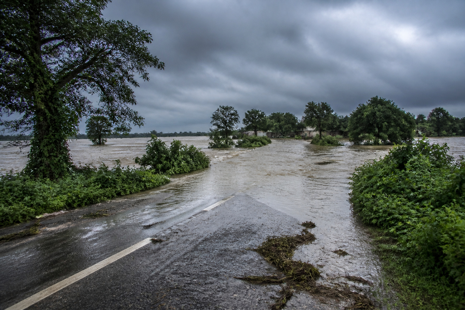
Floodwaters from the swelling Gandak river have entered low-lying areas of the Valmiki Tiger Reserve (VTR) in West Champaran and begun flowing over NH-727, after heavy rainfall in Nepal pushed river levels sharply higher.
The flooding has also affected low-lying areas in West Champaran, East Champaran and Gopalganj districts. Around seven to eight blocks in West Champaran are likely to be affected, according to the report.
The Gandak barrage control room at Valmikinagar recorded the release of 6.74 lakh cusecs of water from Devghat in Nepal on Sunday afternoon. Downstream of the Gandak, 4.62 lakh cusecs has been recorded so far this monsoon season, the highest level reported this year. The discharge is expected to rise further.
In the VTR, the inundation is likely to affect herbivores including chital, sambar, barking deer and hog deer, as well as wild boar. Tigers, leopards and bears, along with smaller mammals and reptiles, may also be affected by the floodwaters.
Valmikinagar range officer Satyam Kumar said low-lying forest areas were most likely to be affected and that animals generally move towards higher ground within the reserve when floodwaters rise. He said it was uncommon for wild animals to move towards residential areas in search of shelter and food.
According to Kumar, forest department patrolling teams are monitoring the affected areas. If animals move towards residential settlements, the teams will attempt to drive them back towards the forest, he said.
The flooding has also begun disrupting road connectivity. Water is flowing over the Bagaha-Valmikinagar main road, NH-727, at Bhedihari under Valmikinagar police station. The stretch is a key road link in the area, connecting settlements near the reserve and the Nepal border region.
The current flooding follows the release of a large volume of water from upstream Nepal and is expected to intensify if the downstream discharge continues to rise. Authorities are monitoring river levels, road conditions and possible wildlife movement as the water spreads across low-lying areas.
