


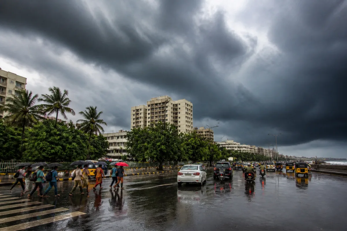
Chennai and neighbouring districts are likely to see heavy to very heavy rain, thunderstorms and gusty winds from Tuesday as a depression over the Bay of Bengal intensifies, but the system’s landfall track remains uncertain, according to the India Meteorological Department (IMD). The forecast has prompted orange alerts for Chennai, Tiruvallur, Chengalpet and Ranipet for Wednesday and Thursday.
The IMD has issued a yellow alert for Kancheepuram, Villupuram and Tiruvannamalai, indicating the possibility of heavy rainfall in these districts. Tamil Nadu, Puducherry and Karaikal have also been placed under a heavy rainfall warning for Tuesday and Friday, while some locations are expected to receive heavy to very heavy rain on Wednesday and Thursday.
The depression was located about 800km east-southeast of Chennai on Sunday morning. The IMD forecast that it would intensify into a cyclonic storm on Monday and a severe cyclonic storm on Tuesday before moving towards the Andhra Pradesh coast. Its eventual landfall location, however, had not been established.
V R Durai, head of the regional weather forecasting centre, said weather models were not in agreement over the system’s movement. Most models projected a northwesterly path, while some indicated that the depression could move parallel to the Tamil Nadu coast. In that scenario, the cyclone’s rain-bearing wall could approach the Tamil Nadu coast, he said.
The system may not make landfall in Tamil Nadu because of cooler sea surface temperatures off the coast and a southeasterly wind pattern, Durai said. However, the uncertainty over its path means that rainfall intensity and distribution across Chennai and nearby districts could change as the system develops.
Private weather bloggers cited in the report said the track could become clearer on Monday. One assessment noted that a landfall at Nellore or south of it could favour rainfall over Chennai and surrounding districts, while a landfall north of Nellore could result in less rain for the city. The assessment also stressed that the outcome would not necessarily apply uniformly across Tamil Nadu.
For Chennai, the immediate concern is not only the rainfall total but also the combination of intense showers, thunderstorms and gusty winds. Such conditions can affect road travel, low-lying areas, drainage operations and other essential urban services. The orange alert indicates that authorities and residents in the affected districts should prepare for very heavy rainfall during the warning period.
The expected weather shift follows several days of pleasant, overcast conditions in Chennai. IMD officials said easterly winds, which are a key driver of the northeast monsoon, were likely to bring widespread rain during the last week of November. An official noted that easterly winds had not yet become established during the current monsoon season.
The next major update is expected as the depression intensifies and forecasting models converge on its direction. The IMD’s rainfall and warning information for Tuesday through Friday will determine the areas facing the greatest immediate risk.

