


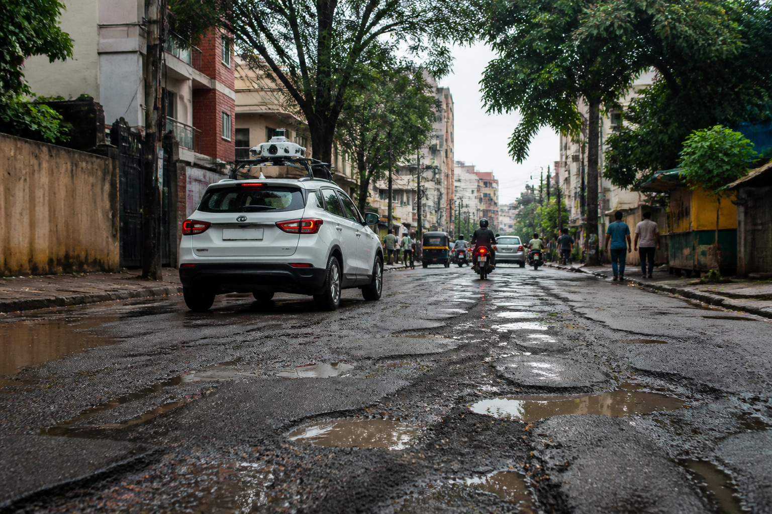
Bengaluru road potholes have been mapped across the northern municipal limits through an artificial intelligence-based survey, which identified 14,393 potholes on a road network measuring 2,493.5 kilometres. Municipal commissioner Pommala Suneelkumar said the survey found an average of 5.8 potholes per kilometre.
The assessment covered seven divisions and 72 wards. It used real-time road images captured through dashcams to record the condition of road surfaces, potholes, locations requiring repairs and damage caused by work carried out by different utility departments.
According to the findings shared by the commissioner, 1,426.8 kilometres of roads were classified as being in good condition. Another 607.1 kilometres had minor surface defects. Together, these two categories accounted for 82.1% of the surveyed road length, according to the civic assessment.
The remaining 17.9% of the network included localised road damage, deterioration linked to utility works and roads that were either unpaved or lacked asphalt. The survey was intended to give the civic body a consolidated picture of the road network and identify areas requiring priority for maintenance, repairs and road development.
The assessment also identified 102.8 kilometres of unpaved roads spread across 821 roads. The civic body said these roads would be considered for development according to local requirements, with the stated aim of improving road connectivity and safety for residents.
The survey’s pothole count includes damage recorded alongside road-surface defects and deterioration caused by utility works. The report did not specify how the potholes were classified by severity, when each location was last repaired or the estimated cost of addressing the identified defects.
The civic administration said it would use the survey data to determine priorities for road maintenance and development works. The process is intended to move road management beyond a system based only on public complaints and towards planning based on mapped road conditions and identified areas of need.
The findings also place responsibility for road damage across more than one type of work. Alongside ordinary surface deterioration, the survey recorded damage associated with utility projects, making coordination between road agencies and departments a factor in future repair work. The civic body’s next step is to use the mapped defects to prioritise maintenance and development projects across the seven divisions and 72 wards.
