


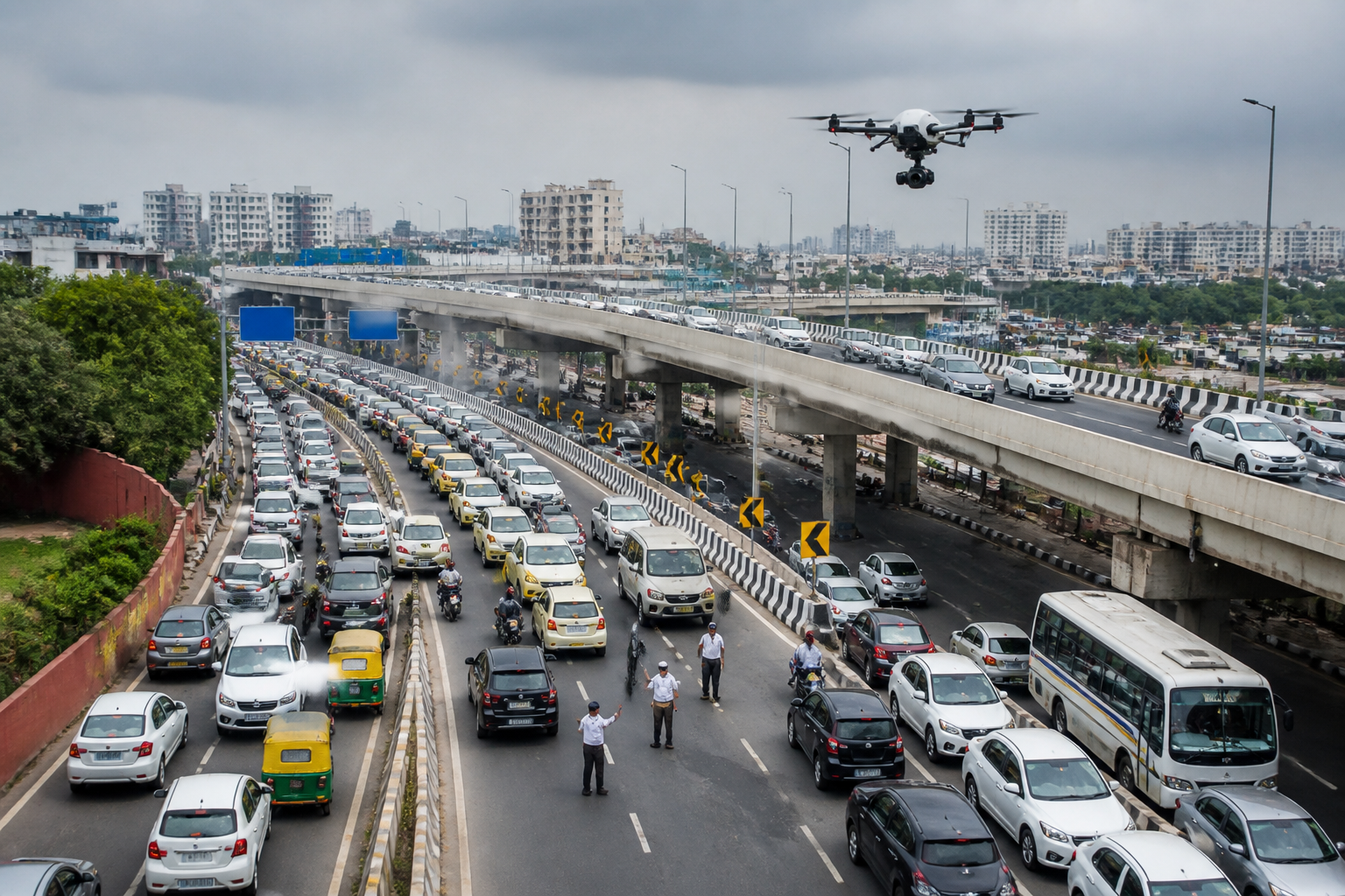
Barapullah traffic is being monitored by drones on the Mayur Vihar-to-AIIMS lane of Phase-3 after Google Maps showed the flyover as clear and directed motorists towards a route experiencing severe congestion, according to the Delhi Traffic Police. Officers are using aerial surveillance to identify jams and issue instructions to personnel deployed at key points.
The traffic police are also carrying out diversions whenever required to control vehicle movement around the flyover and its connecting roads. The intervention is focused on commuters travelling from Mayur Vihar, the DND Loop and NH-24 towards AIIMS, who have been reaching Barapullah after Google search results displayed the route in blue, indicating that it was apparently free-flowing.
According to the police, the absence of real-time traffic information on Google Maps has contributed to vehicles being directed towards the flyover as a shortcut. The resulting concentration of traffic has become a major reason for the congestion on the route. The police said Google is working on the issue and that real-time updates are expected to become available within the next one or two days.
Deputy Commissioner of Police (Traffic), Southern Range, Sandeep Gupta said the flyover and surrounding areas were being monitored continuously through drones. Traffic police personnel have been placed at all major points, he said, while diversions are being implemented according to the situation on the ground.
The latest monitoring follows a drone survey conducted by the traffic department on Thursday. Based on that survey, the department submitted four suggestions to the Public Works Department to ease congestion. These include implementing appropriate traffic controls at the correct merging points and installing signals where necessary.
The traffic police have also suggested changing the geometry of the merging point near the Sundial and diverting or regulating traffic towards NH-24 wherever feasible to reduce pressure on the flyover. The report said work on these suggestions has begun, although details of the specific construction or traffic-control measures being implemented were not provided.
The episode highlights an operational gap between road conditions observed by traffic authorities and the information displayed to drivers through digital navigation services. For commuters, the immediate response remains on-ground monitoring, traffic control and route diversion until the promised real-time update is available. The traffic police said the Google Maps update should begin appearing within one or two days.
