


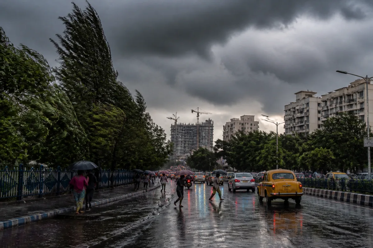
Cyclone Akvan’s revised track towards the Odisha coast has prompted the India Meteorological Department to forecast very heavy rain in parts of Bengal between November 19 and 21, with thunderstorms and strong winds expected in Kolkata during the same period.
The weather system is now expected to make landfall between Narsapur in Andhra Pradesh and Puri in Odisha. The IMD’s afternoon update placed the likely maximum sustained wind speed at 90 to 100 kmph when the cyclone crosses the coast. An earlier forecast had indicated landfall between Nellore and Visakhapatnam around noon on November 20, with wind speeds of 100 to 110 kmph and gusts reaching 120 kmph.
The revised trajectory is expected to bring heavy to very heavy rainfall to several districts in southern Bengal. Purba Medinipur and Paschim Medinipur are likely to receive heavy to very heavy rain, while heavy rainfall has been forecast for South 24 Parganas, Howrah, Jhargram and Bankura.
For Kolkata, the IMD has forecast thunderstorms from November 19 to 21. Wind speeds in the city are expected to range between 30 and 40 kmph during this period. The forecast places pressure on routine urban operations, including road movement, drainage management and the handling of weather-related disruptions, although the supplied report does not specify any closures or emergency measures announced by civic authorities.
The meteorological office has also advised fisherfolk not to venture into the sea along and off the Bengal coast on November 19 and 20. It warned that sea conditions are likely to remain rough as the cyclone approaches the coast.
The change in the projected landfall location reflects the latest update to the cyclone’s movement. In its morning forecast, the IMD had expected the system to cross the coast further south in Andhra Pradesh. By the afternoon, the projected landfall zone had shifted northwards towards the Odisha coast, while the estimated wind intensity was revised downwards.
The rainfall forecast covers a period when localised flooding, waterlogging and travel disruption can become significant concerns in low-lying urban and peri-urban areas, but the report does not provide specific rainfall totals or identify any affected roads, services or public infrastructure. The next operational milestones are the cyclone’s movement towards the coast and the IMD’s subsequent weather bulletins for November 19 and 20.

