


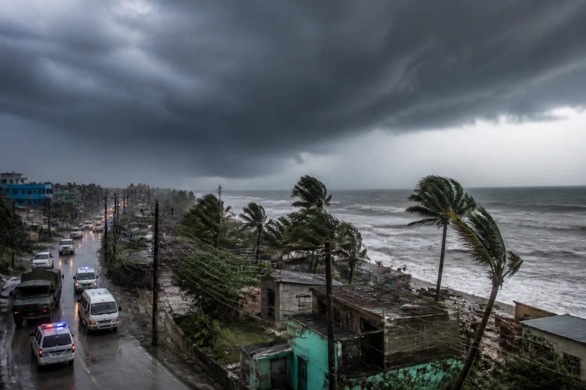
Cyclone Akvan intensified into a severe cyclonic storm on November 18 and is forecast to cross the Andhra Pradesh coast on November 20, bringing winds of up to 120 kilometres per hour, heavy rainfall and possible disruption to electricity and transport. Authorities in Andhra Pradesh and Odisha have placed coastal areas on high alert and begun preparations to protect vulnerable communities.
According to the India Meteorological Department (IMD), the storm intensified at 5:30 am on November 18 and was moving north-northwestwards at about 3 km per hour. The system was centred approximately 580 km east of Chennai, 650 km northeast of Trincomalee in Sri Lanka and 610 km southeast of Machilipatnam in Andhra Pradesh, based on the IMD bulletin cited by Down To Earth.
The cyclone is expected to cross the Andhra Pradesh coast between Nellore and Visakhapatnam around the afternoon of November 20. The IMD has forecast sustained winds of 100–110 km/h, with gusts reaching 120 km/h. Such conditions could damage trees, electricity infrastructure and vulnerable buildings, while heavy rain may affect roads, public transport and other essential services in exposed coastal districts.
Residents in low-lying and coastal areas have been advised to follow official warnings and avoid unnecessary travel during severe weather. Coastal authorities are preparing for potential power-supply interruptions and transport disruptions as the storm approaches. The forecast track and local rainfall conditions will determine the scale of any evacuation or emergency response in Andhra Pradesh.
Odisha has identified up to 204,070 people who may require evacuation if conditions worsen. The state has marked 87 vulnerable blocks and 1,902 sensitive locations across eight districts. Ganjam accounts for the largest potential evacuation group, with 121,597 people identified, followed by Gajapati with 25,000, Puri with 24,076, Kandhamal with 10,240 and Malkangiri with 10,000.
The Odisha government has deployed 74 rescue teams, including personnel from the National Disaster Response Force and the Odisha Disaster Rapid Action Force. Officials are preparing shelters and emergency arrangements, but the decision to move residents will depend on the cyclone’s eventual track, rainfall intensity and conditions on the ground.
The IMD has also warned fishermen not to venture into the southeast, southwest, west-central and east-central Bay of Bengal because of hazardous sea conditions. Fishermen already at sea have been advised to return to safer locations, while coastal communities have been asked to monitor updated forecasts.
Elsewhere, the weather agency has forecast dense fog in parts of northern India. Eastern and western Uttar Pradesh may experience dense fog on November 18, while Haryana, Chandigarh, Delhi and Punjab are expected to see similar conditions between November 19 and 21. Reduced visibility could affect road and rail transport, and motorists have been advised to exercise caution.
The IMD has also reported below-normal minimum temperatures in parts of eastern Madhya Pradesh and northern and southern interior Karnataka, as well as in areas of West Bengal, Odisha, Jharkhand, Bihar and Uttar Pradesh. Authorities in affected regions are continuing to monitor the cyclone’s movement and update local response measures ahead of the forecast landfall on November 20.

