


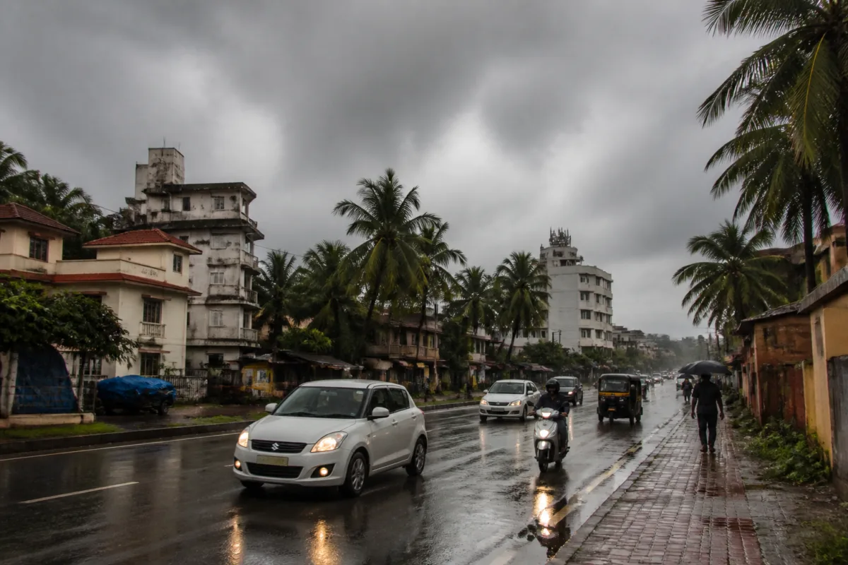
The India Meteorological Department has issued a yellow alert for Karnataka’s coastal and Malnad districts as parts of the state prepare for rain, thunderstorms and gusty winds over the next two days. The alert is in force along the coast on November 4 and across Malnad and southern interior districts until November 6, according to a report by Prajavani citing the IMD.
Coastal Karnataka may receive rain accompanied by thunder and lightning at isolated places on November 4 and 5. The IMD has also forecast thunderstorms and lightning in parts of southern interior Karnataka through November 6. Some locations in the southern interior region could receive heavy rain during this period.
The forecast covers a mixed weather pattern across the state. The southern interior, coastal and Malnad regions are likely to see light to moderate rain at some places, along with thunderstorms and strong winds. Other parts of Karnataka may experience partly cloudy or sunny conditions, while the northern interior is expected to record lower rain activity, with hot and sunny weather continuing in those areas.
The forecast indicates that rainfall will not be uniform across Karnataka. The alert is concentrated in regions where isolated heavy rain, lightning and wind activity are expected, while the northern interior is likely to remain comparatively drier. The IMD has also indicated that some parts of the state may see cloudy conditions during the day.
Morning weather is expected to vary as well. Several parts of Karnataka may experience cooler conditions and fog during the early hours. These conditions could occur alongside rain and cloud cover in the southern interior, coastal and Malnad areas, although the supplied forecast does not provide district-wise rainfall totals or a separate list of urban centres under alert.
A yellow alert generally signals the need for heightened awareness while weather activity remains potentially disruptive in affected areas. For cities and towns in the alert regions, the combination of rain, lightning and strong winds is relevant to road conditions, outdoor movement and local civic operations. The IMD forecast, however, does not specify any traffic restrictions, school closures, evacuation measures or municipal advisories.
The forecast also does not establish whether any flooding, infrastructure damage or service disruption has occurred. At the time of the report, the information available was limited to the expected weather conditions and the duration of the alert. Residents and local authorities in the affected regions will need to follow subsequent updates from the IMD and relevant district administrations as the forecast period progresses.

