


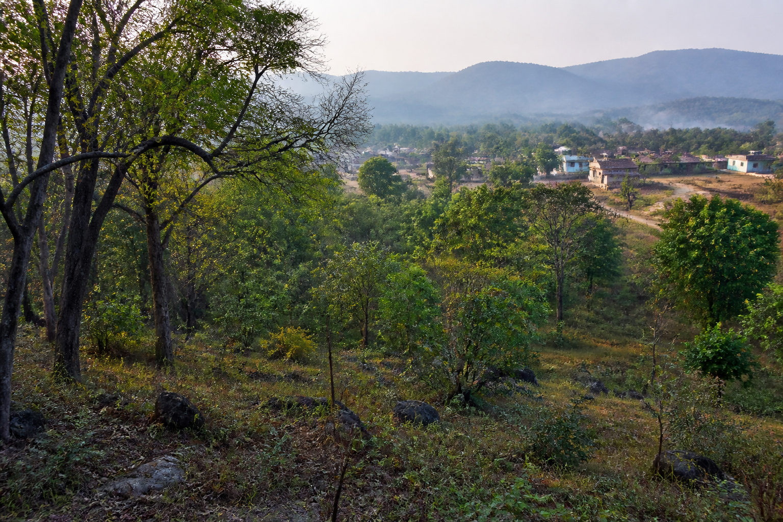
The fresh draft notification for the Nagarahole eco-sensitive zone places 573.95 square kilometres around the tiger reserve under a proposed regulatory framework, bringing 101 villages—partly or fully—within its boundary. Issued by the Union Ministry of Environment and Forests, the notification revives a process first initiated in 2017 and puts the relationship between wildlife protection, village activity and land-use control back on the administrative agenda.
The notification is not yet the final regulatory settlement. Residents and other stakeholders have been given 60 days to submit objections. Its immediate importance is therefore procedural as much as environmental: the government has again defined the proposed area, restated the activities that would not be permitted and required Karnataka to prepare a zone-wise comprehensive plan within two years of the regulatory framework taking effect.
That combination makes the Nagarahole proposal more than a boundary exercise. An eco-sensitive zone is administered as a transition area around a protected landscape, where activities near the reserve are examined for their potential effect on the ecological system. In this case, the proposed zone covers a large area and includes inhabited settlements. The eventual operation of the notification will therefore depend not only on the mapped extent but also on how restrictions, permissions and local planning are interpreted on the ground.
The second draft is significant because the first draft was issued in 2017. According to the supplied report, the new notification follows nine years later, with no major changes from the earlier draft apart from minor corrections connected to figures and data. That continuity suggests that the central regulatory approach has remained substantially intact, even as the process has taken years to return to the public domain.
The 573.95-square-kilometre figure is consequently both an ecological and an administrative boundary. It identifies the area in which activities will be subject to a special framework, while the inclusion of 101 villages gives the proposal a direct human geography. The villages are not described as uniformly affected: some fall wholly within the proposed zone and others only partly. That distinction will matter for implementation because the practical effect of a regulation can vary significantly according to the exact boundary, the nature of an activity and the planning designation of a particular location.
The notification specifically rules out 11 categories of activity in the proposed eco-sensitive zone. The supplied report identifies commercial mining, quarrying, polluting industries, thermal or hydroelectric projects and waste-disposal facilities among the prohibited activities. These restrictions target activities with potentially substantial effects on land, water, air and the surrounding ecological system. They also make clear that the proposed framework is intended to regulate the pattern of development around the reserve, rather than merely record the reserve’s existence.
The significance of the prohibited list lies in the administrative certainty it is intended to create. Commercial mining and quarrying can alter land and terrain. Polluting industries can introduce risks beyond their immediate premises. Thermal and hydroelectric projects involve major infrastructure interventions, while waste-disposal facilities raise questions about pollution and the capacity of local systems to manage waste safely. The draft’s approach is to exclude these categories from the proposed zone rather than leave each case to an unstructured decision-making process.
At the same time, the supplied material does not provide the full list of all 11 prohibited activities, the detailed map of the proposed boundary, the treatment of existing homes or establishments, or the process through which objections will be assessed. Those omissions are important because a zone covering 101 villages cannot be understood only through its total area and headline restrictions. The final regulatory effect will depend on the notification’s detailed provisions, the location-specific boundary and the government’s response to representations received during the 60-day period.
The two-year requirement for a zone-wise comprehensive plan is therefore a central institutional feature of the proposal. The responsibility falls on the Karnataka government, which must prepare a planning document to manage the zone and regulate activities within it. This shifts part of the burden from the Union ministry’s notification to state-level implementation. The plan will be the mechanism through which the broad regulatory intent is expected to be translated into decisions affecting particular areas and activities.
This division of responsibility also reveals the governance challenge behind the notification. The Union ministry establishes the proposed framework, while the state government must develop the detailed plan. The presence of 101 villages means that implementation cannot be separated from local administration, land records, development permissions and public communication, although the supplied report does not specify which state or local agencies will perform each function. What is established is the state’s two-year deadline for preparing the zone-wise plan.
The nine-year interval between the first draft and the second one gives the proposal an additional administrative dimension. The delay does not, by itself, explain why the process took so long, and the supplied report does not attribute a reason. It does, however, show that a draft notification can remain unresolved for a prolonged period even when the broad contours of the proposal remain similar. For communities and authorities, that can create uncertainty over the status of activities and the timing of eventual decisions.
The new draft also demonstrates how environmental regulation often operates through repeated formalisation. The first draft established an earlier version of the proposal in 2017. The second retains the broad area and regulatory direction while correcting some figures and data. The process now moves into another objection period, after which the final position will depend on the competent authority’s consideration of representations and subsequent action. The supplied report does not establish when a final notification will be issued.
For the villages within the proposed boundary, the immediate issue is not simply whether the area is classified as environmentally sensitive. It is how that classification will affect activities, permissions and future planning. Partial inclusion makes the question more granular: a village may be partly inside and partly outside the proposed zone, creating a need for clear mapping and consistent administrative interpretation. The notification’s eventual impact will therefore be experienced through boundaries and decisions at local level, not only through the 573.95-square-kilometre figure.
The draft’s public-objection period is the formal point at which these concerns can enter the process. Sixty days have been provided for objections. The period offers affected residents and other stakeholders an opportunity to respond to the proposed boundary and restrictions before the framework is finalised. The supplied report does not state how many objections have already been received, what issues were raised in response to the 2017 draft or how those representations will be evaluated.
That gap is central to understanding what the current notification does and does not settle. It establishes a renewed proposal, not a completed land-use regime. It identifies the proposed area, lists restrictions and sets a state planning obligation, but it does not in the supplied material provide the final map, the final notification or the detailed implementation rules. Treating the draft as an immediate final ban across every form of activity would go beyond the facts available in the report.
The measurable elements of the proposal nevertheless establish its scale. The proposed eco-sensitive zone covers 573.95 square kilometres, extends across 101 villages either wholly or partly and is linked to 11 prohibited categories of activity. The state has two years to prepare a zone-wise comprehensive plan, while the public has 60 days to submit objections. These figures define the administrative timetable and the geographic reach of the process.
The larger urban and regional planning question is how conservation boundaries interact with settlement and infrastructure decisions. Nagarahole is a protected landscape, but the proposed zone around it also contains villages and human activity. The draft notification is an attempt to manage that interface by limiting certain forms of development and requiring a more detailed plan. Its success will depend on whether the regulatory framework becomes clear and administratively usable for both conservation authorities and affected communities.
The notification also places the idea of development control at the centre of environmental governance. By identifying activities that will not be permitted and requiring a comprehensive plan, it seeks to prevent decisions from being made solely on a project-by-project basis. Yet the supplied evidence does not show how other activities will be classified, what permissions will be required or how existing uses will be treated. Those are among the issues that will need to be clarified through the final notification and the state’s planning process.
For policymakers, the immediate task is to move from a broad draft boundary to a workable regulatory system. For residents, the immediate task is to understand the proposed extent and submit objections within the stipulated period if they believe the boundary or restrictions require reconsideration. For observers of protected-area governance, the more important test will be whether the nine-year-old proposal now advances towards finalisation and whether the two-year planning obligation produces a clear, zone-wise framework.
What the evidence confirms is that the Union environment ministry has issued a second draft notification covering 573.95 square kilometres around Nagarahole Tiger Reserve, that 101 villages are partly or fully included, that 11 categories of activity are identified for prohibition and that Karnataka has two years to prepare a comprehensive plan. What remains open is the final boundary, the outcome of the 60-day objection process, the complete implementation framework and the date of final notification. Those are the next milestones that will determine how the proposed eco-sensitive zone functions in practice.
