


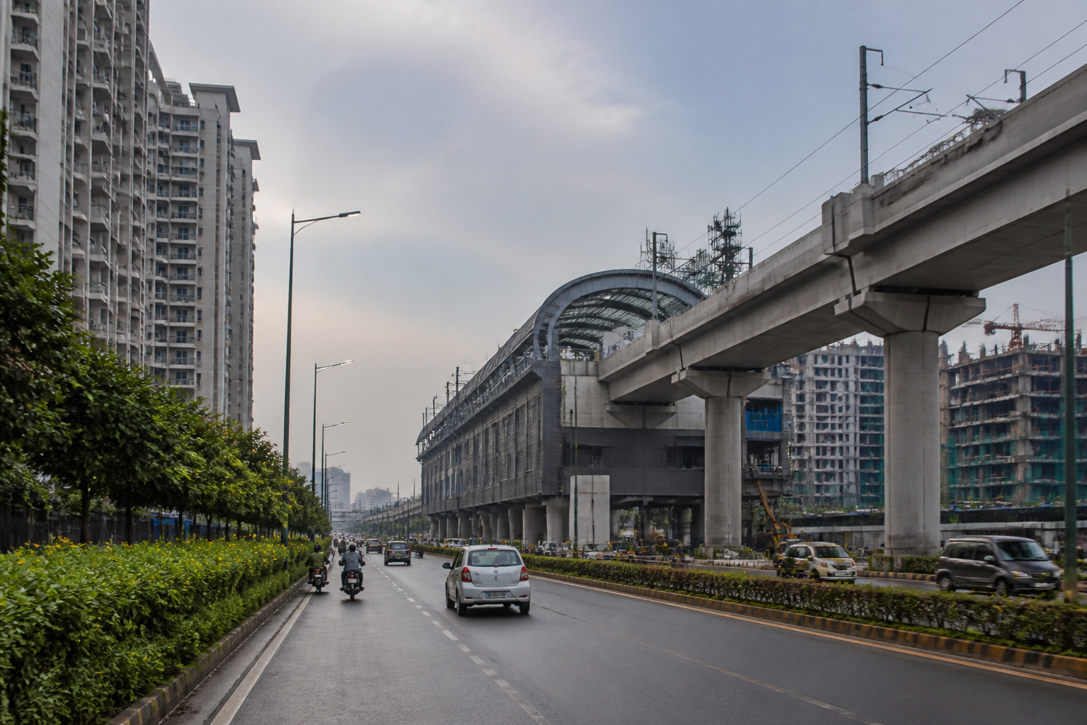
The proposed Namo Bharat corridor in Faridabad is set for a possible route change, with the Haryana Shahari Vikas Pradhikaran (HSVP) sending the government a revised plan that moves most of the alignment alongside the master road and protects about eight acres of commercial land near Sector 80.
The earlier alignment was expected to pass through a portion of HSVP land earmarked for commercial use. The authority has said that using the plot for the transport project could reduce its future revenue from commercial development. Under the revised proposal, the corridor would be placed mainly along the master road so that the commercial parcel can be retained.
The final route has not yet been approved. HSVP officials said the proposed adjustment is intended to meet the corridor’s land requirements while securing the authority’s commercial assets. The government will take the final decision on the revised alignment.
The proposed stations in Faridabad include Sainik Colony, NIT, Bata Chowk and the Sector 87/88 Chowk area. The corridor would enter Faridabad after passing through Gurugram’s Millennium City Centre, Sector 52 and Gwal Pahari. It would then run through Sainik Colony, NIT, Bata Chowk and the dividing road between Sectors 11 and 12 before connecting several sectors of Greater Faridabad and proceeding towards Noida.
The proposed Faridabad section is about 16 kilometres long. The larger corridor is estimated to cost up to Rs 19,390 crore. Construction is expected to begin by December 2026, with completion targeted for 2031, although these milestones remain linked to approvals and the final project configuration.
A key feature of the proposal is the plan to allow Namo Bharat trains and local metro services to operate on the same track. The corridor is also proposed to be extended towards Noida Airport. The report says the extension is intended to enable residents to reach Jewar airport in about 20 minutes, subject to the final alignment and implementation of the project.
The route decision is being taken as Greater Faridabad expands through new residential projects and a growing population. The area’s connectivity requirements have increased alongside this development, making the alignment relevant not only to inter-city travel but also to the relationship between new neighbourhoods, arterial roads and high-capacity public transport.
By placing much of the revised route along the master road, HSVP expects the transport alignment and the existing road network to be planned in closer coordination. The proposal also seeks to avoid using land designated for commercial activity, but the report does not provide details of the revised corridor’s complete land-acquisition requirement, station footprints or changes in travel times for individual sectors.
HSVP superintendent engineer Sandeep Dahiya said the earlier proposal brought around eight acres of the authority’s commercial land near Sector 80 within the Namo Bharat route. He said the possibility of revenue loss prompted the revised proposal, under which most of the corridor would run alongside the master road. The government’s approval will determine whether the proposed change is adopted.
