Mumbai High Speed Rail Corridor Reshapes Regional Mobility
The Mumbai-Ahmedabad High-Speed Rail project is entering a more intensive construction phase across Thane and Palghar, where elevated structures, stations, tunnels and major river crossings are being built together. The Maharashtra section is emerging as one of the corridor’s most complex stretches, combining dense transport networks with forests, mangroves, rivers and difficult terrain. Its eventual value will depend on how effectively faster inter-city travel connects with existing urban mobility. The section under construction extends 135.45 km from Shilphata in Thane to Zaroli near the Maharashtra-Gujarat border. Around 124 km of this alignment is planned as viaducts and bridges. Construction activity has spread across more than 100 km for pier works, with about 74 km of piers completed and ready for the next stage of girder installation.
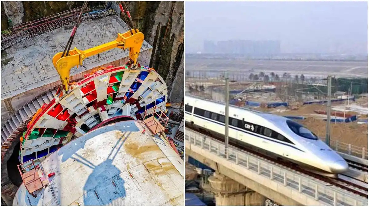
Three elevated stations are being developed at Thane, Virar and Boisar. These stations could become important nodes for regional economic activity, particularly if their connections with suburban rail, metro services, buses and local roads are planned around passenger needs rather than treated as standalone high-speed rail facilities. The project also illustrates the environmental constraints involved in expanding transport infrastructure around Mumbai. At Thane, the station design places the concourse roughly 12 metres above ground to reduce interference with mangrove areas. Such measures are significant because the wider metropolitan region is already facing pressure from transport expansion, flooding risks and the loss of natural buffers. Construction below and through the terrain presents another challenge. Seven mountain tunnels are planned along the Maharashtra stretch, with three having already achieved breakthrough. Work has now moved towards drainage, waterproofing and internal lining in those completed sections. Tunnel construction can reduce the need for extensive surface-level cutting, but it also requires close monitoring of groundwater, geology and construction impacts.
Large river crossings are adding to the engineering workload. Bridges measuring about 460 metres over the Ulhas, 2.32 km over the Vaitarna and 510 metres over the Jagani are under development. The section will also contain 36 bridges and crossings, including steel structures over existing railway lines and major road corridors. For businesses, workers and residents across the Mumbai metropolitan region and northern Maharashtra, the Mumbai High Speed Rail project could eventually shorten journeys and widen access to employment and commercial centres. But speed alone will not determine its urban value. Station access, affordable feeder transport, last-mile connectivity and surrounding land-use planning will shape who benefits from the investment.
The Mumbai High Speed Rail corridor is therefore moving from an infrastructure blueprint towards a visible physical network. As construction advances, maintaining safety, ecological safeguards and integration with existing transport systems will be central to turning the project’s engineering scale into practical public value.