


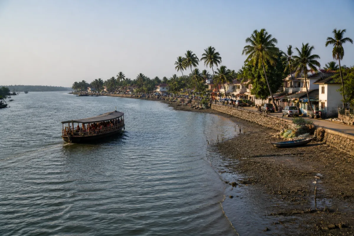
A proposal for a parallel backwater road along Vypin’s eastern shore has revived debate over how to ease congestion on the Vypin-Munambam State Highway while improving navigation in the Veeranpuzha waterway, according to a report by Mathrubhumi’s Kochi edition.
The proposal calls for dredging silt and mud that have accumulated in the Veeranpuzha and using the removed material to create a wider road along Vypin’s eastern waterfront. The report says the road has been sought for a long time as an alternative to the heavily congested state highway.
The waterway has reportedly become shallower because of sediment accumulation. During summer and periods of stronger ebb tides, sections of the riverbed become exposed, while boats and other watercraft can get stuck in silt even at ordinary water levels, the report said.
The proposal draws on the hydraulic dredging model used during construction of the Goshree bridges, where dredged mud and sand were pumped to create land. Supporters say a similar approach in the Veeranpuzha could reduce the need for extensive displacement compared with conventional land filling. The report does not provide details of a government-approved alignment, land requirements, environmental clearances, cost or construction schedule.
The road is also being discussed alongside the reported announcement that Water Metro services would be extended towards North Paravur. The historic water route between the Kochi and Munambam entrances could support tourism between Vypin and Paravur, but the report identifies sedimentation as a potential obstacle to reliable water transport.
According to the report, an eastern shore road with connecting bridges could provide an alternative route for longer-distance vehicles travelling towards Ernakulam and bypass roads, reducing pressure on the Goshree bridges. It also links dredging with possible improvements in water flow through connected canals and conditions in nearby shrimp farms and fishing areas.
These benefits remain proposals rather than documented project outcomes. Any decision to combine dredging, land creation and road construction would require the responsible authorities to establish the route, assess environmental and hydrological effects, determine how dredged material would be handled and clarify the bridge connections needed across the island. The report records the demand for such a project but does not identify an implementation decision.

