


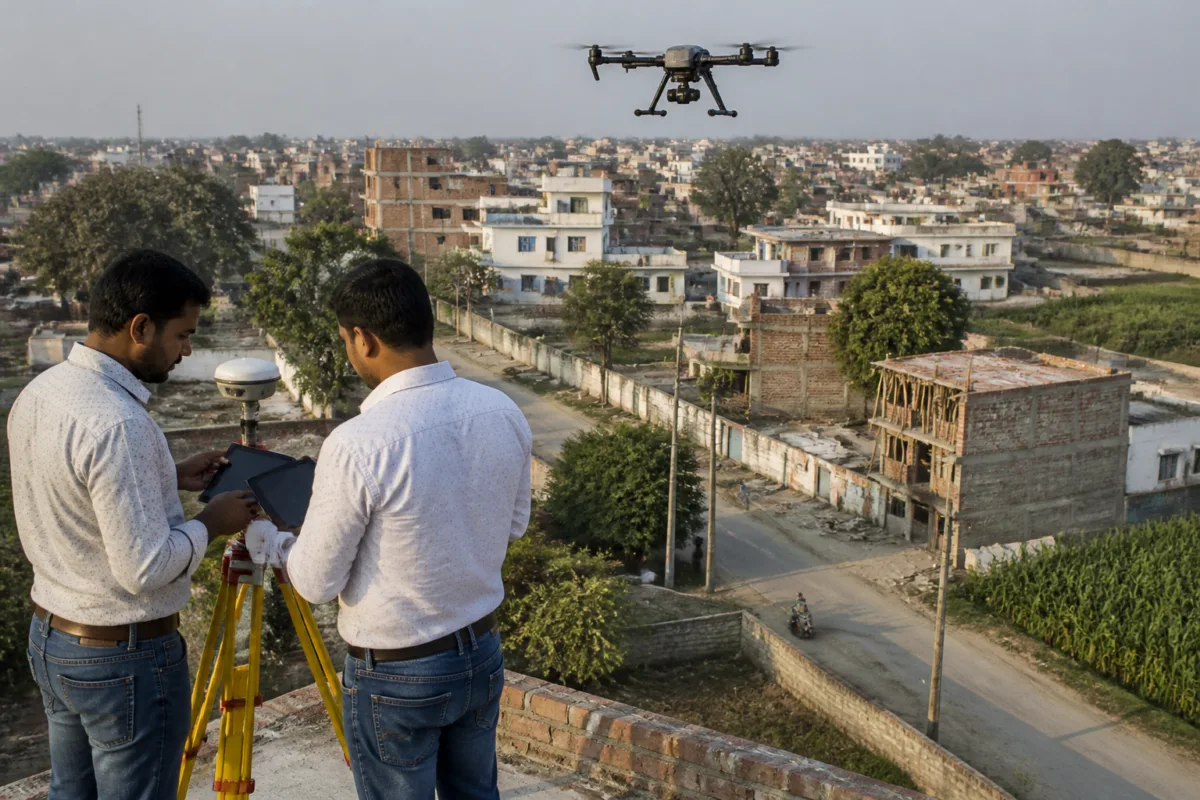
Uttar Pradesh’s drone survey to create new maps for 10 urban local bodies has identified about 5,54,439 plots for ground verification—nearly five to six times the project’s estimated target of 2,03,105 plots, according to a progress report presented to a state-level monitoring committee.
The survey is part of the National Geospatial Knowledge-based Urban Population Land Survey pilot project for modernising land records. The Revenue Council is overseeing the exercise, and field verification has begun, Live Hindustan reported.
The 10 urban local bodies covered are Anupshahr, Chitrakoot Dham, Chunar, Gorakhpur, Hardoi, Jhansi, Nawabganj, Puranpur, Tanda and Tilhar. Together, they have a population of about 10.70 lakh, according to the report.
The field survey covers 240.20 square kilometres, while the aerial survey covers 367.33 square kilometres. The drone exercise used nadir cameras and oblique camera systems with five cameras, the report said. Data extracted from the aerial imagery was used to identify plots requiring ground-level verification.
The scale of the additional work is significant for the project’s implementation schedule. Only four months had been allocated for ground truthing. Each field team includes one member each from the Revenue and Urban Development departments, along with two local personnel from technical institutions, according to the report.
The pilot project is scheduled to end on 31 March 2027. A monitoring meeting proposed that it should continue beyond that date in the state’s interest and eventually be transferred to the Urban Development Department. Other suggestions included moving the MPSEDC portal to the State Data Centre, adding more urban local bodies to meet future demand, and preparing a legal framework for issuing urban property cards.
These proposed steps indicate that the mapping exercise is intended to support more than a one-time aerial survey. A complete urban land-record system would require the drone-derived information to be checked on the ground, linked with authoritative records and maintained through an institutionally responsible platform. The report, however, does not state when verification will be completed, how disputed plot boundaries will be handled or when property cards could be issued.
The monitoring meeting also reviewed the georeferencing of village maps across Uttar Pradesh. Of the state’s 1,08,893 villages, 95,373 maps had been georeferenced, according to the Revenue Council. Another 8,346 village maps had been digitised but were still awaiting georeferencing as of 4 November 2026.
Of those 8,346 maps, 4,523 had been handed over to the Remote Sensing Applications Centre, Uttar Pradesh, on 20 October, while verification by districts was pending for 2,490. A further 1,049 maps were undergoing digitisation, printing, correction and submission, and 284 maps were available with the Revenue Council.
For residents and local governments, the immediate issue is whether the larger-than-expected plot count can be verified accurately within the remaining project period. The report establishes the size of the mapping and records challenge, while the proposed continuation, data-centre transfer and legal framework are recommendations rather than confirmed implementation decisions.

