


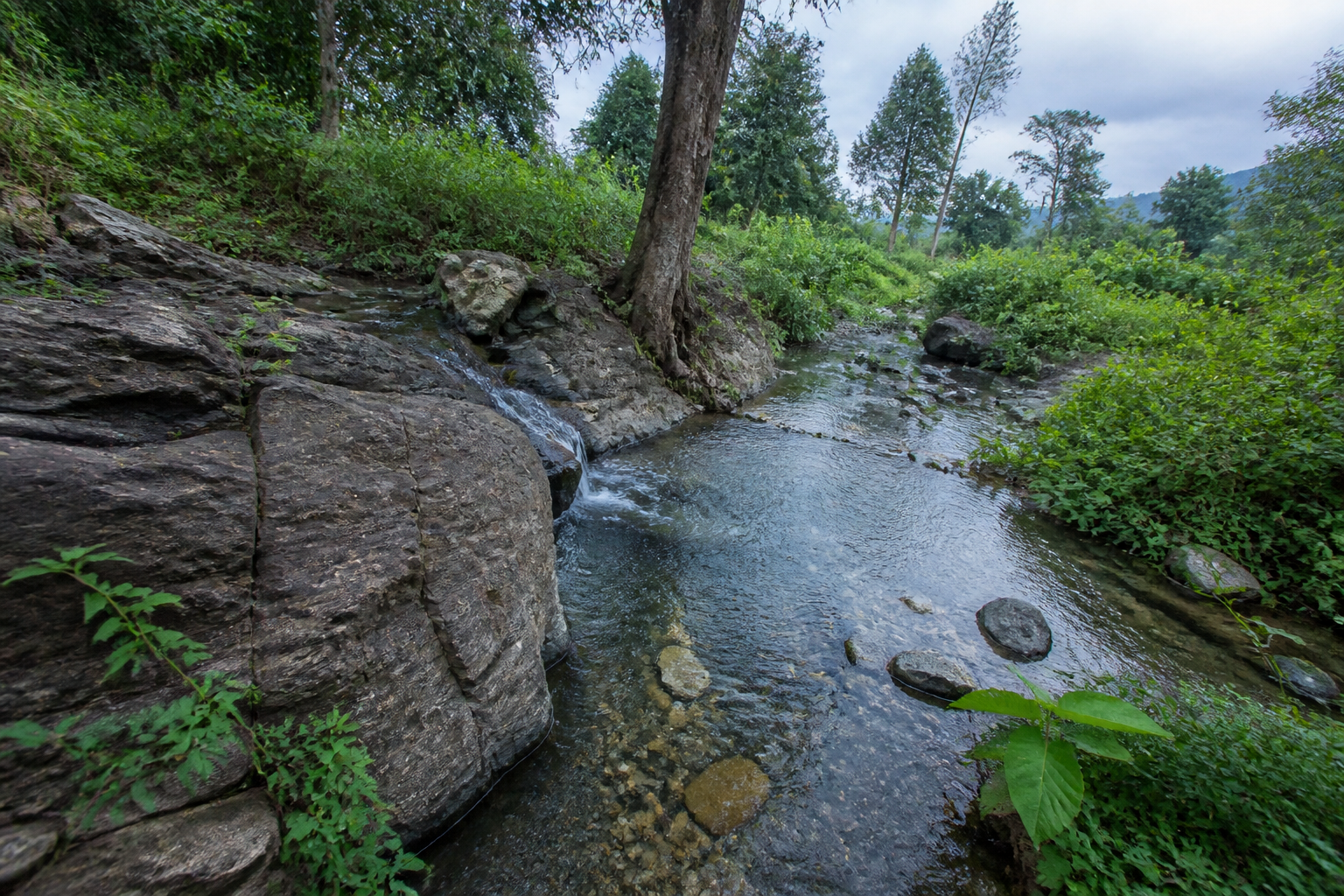
Telangana’s first recorded inventory of natural springs shows that the state’s water system extends well beyond rivers, reservoirs and borewells. The First Census of Springs in the country, conducted in 2025 by the Ministry of Jal Shakti, identified 148 natural springs across Telangana, including 126 perennial sources, 18 seasonal springs and four that were dry when surveyed. The findings also show that 52 springs are accessed by wild animals, making several of these sources critical not only to people but to forest ecosystems.
The census is significant because it makes a largely dispersed and often invisible water network more legible. The springs are concentrated in Telangana’s hilly, forested and plateau regions, especially in the northern and eastern parts of the state. Many are associated with the Eastern Ghats and the Godavari river basin. Their distribution indicates that the state’s water geography is shaped not only by large infrastructure but also by local geology, forest cover and fractured rock formations.
The four districts with the highest numbers are Bhadradri Kothagudem, with 32 springs; Kumuram Bheem Asifabad, with 30; Nagarkurnool, with 26; and Mulugu, with 19. These districts also contain extensive forest areas and are described in the report as receiving good rainfall. Mancherial has nine springs, while Mahabubabad, Jayashankar Bhupalpally and Vikarabad each have five. Khammam and Kamareddy have four each, and Peddapalli, Hanamkonda and Medak have two each. Jagitial, Narayanpet and Rangareddy have one identified spring each.
The pattern matters because it connects water availability to the physical structure of the land. According to the census findings reported by Deccan Chronicle, the springs largely emerge in fractured granite and basalt formations. Rugged terrain and aquifers in these fractured rocks favour the movement of groundwater towards the surface. In this account, the location of a spring is not random: it reflects the interaction between rainfall, rock structure, elevation and underground water movement.
That relationship also helps explain why the springs are concentrated in districts that combine forested landscapes with uneven terrain. The report does not present the springs as interchangeable water points. Some are perennial, some depend on seasonal conditions, and four were dry during the survey. Their different patterns of flow indicate that a single management approach may not apply equally to all 148 sites. Even within the same broad regional landscape, the reliability of a spring can vary according to its hydrological and geological setting.
The census also records who uses these sources. Of the 148 springs, 52 are accessed by wild animals, while the remaining sources are used by people to varying degrees. The finding places the springs within a wider question of shared water access. A spring that appears small when compared with a reservoir may nevertheless serve as a dependable source for wildlife in a forested district, or as an important local source for communities in areas where larger water systems are limited.
The distinction between public and private ownership adds another administrative layer. The report identifies 136 springs as public and eight as privately owned. That division is important because ownership can affect access, maintenance and the authority responsible for protecting the source. The census establishes the number and broad status of the springs, but the supplied report does not specify the management arrangements for each site, the agencies responsible for them, or whether the sources have formal protection plans.
The inventory therefore creates a foundation for governance, but it is not in itself a management system. Counting the springs makes them visible to public authorities; it does not establish how their catchments will be protected, how competing uses will be regulated, or how changes in flow will be monitored. Those details are not established in the available material and would need to be addressed through district-level planning and further official documentation.
The Musi river’s origin illustrates how a local spring can have significance beyond its immediate surroundings. The report states that the river begins at the Anantagiri Hills in Vikarabad district as a natural spring. This connects a small, geographically specific water source to the beginning of a river system associated with Hyderabad and its wider region. The census finding does not, by itself, assess the current condition of the spring or the river, but it demonstrates why spring sources can be relevant to larger basin-level water planning.
The distribution of springs also challenges a narrow understanding of water infrastructure. Public discussions often focus on visible assets such as dams, pipelines, treatment plants and reservoirs. Springs are less prominent because they are dispersed, embedded in landscapes and dependent on underground formations. Yet the census records 126 perennial sources in the state. Their presence suggests that water security is partly built through natural systems that function at a much smaller scale than major public works.
This does not mean that springs can substitute for planned water infrastructure. The report provides no evidence that the identified sources can meet large-scale urban or industrial demand, nor does it quantify their discharge, storage contribution or the population dependent on them. What it does show is that the state’s water assets include a network of natural sources whose ecological and local-use value may not be captured by conventional infrastructure inventories.
The wildlife finding makes the conservation dimension particularly clear. Fifty-two springs are used by wild animals, and many of the identified sources lie in or near districts with large forest tracts. For those springs, the condition of the immediate landscape is directly linked to access to water. The census does not state whether wildlife use is seasonal, whether animals rely exclusively on any particular source, or whether the springs face contamination or encroachment. However, the recorded use establishes that these are not merely geological features; they are functioning water points within forest habitats.
The ownership figures raise a parallel question about public oversight. With 136 springs classified as public, the majority fall within a broad public-resource category. But the available report does not clarify whether “public” ownership corresponds to a specific department, local authority or community institution. That institutional gap matters because responsibility for water sources can become fragmented when a spring lies across forest, revenue, rural development or local government jurisdictions. The census makes the resource visible, while the next governance question is who is accountable for it.
The four springs found dry during the 2025 survey also show why a one-time count cannot fully describe the health of a spring system. A dry reading may reflect seasonal conditions, local rainfall patterns or a longer-term decline, but the supplied material does not identify the cause. Similarly, the 18 seasonal springs are not necessarily unreliable; their role depends on when and how they flow. Without time-series measurements, the census can establish status at the time of assessment but not the direction of change.
For Telangana’s planners, the central lesson is that water mapping must include both engineered and natural systems. The springs are concentrated in districts where terrain, forests and fractured rock shape water availability. Any future planning based on the census would need to preserve the distinction between perennial, seasonal and dry sources, while also recognising that the same spring may have value for households, wildlife or downstream river systems.
The census confirms the scale and distribution of Telangana’s natural spring network, but it leaves several operational questions open: how much water each spring yields, how flows change through the year, which communities depend on them, and which agencies manage their catchments. Those questions will determine whether the inventory becomes a durable water-governance tool or remains only a record of sources. For now, the findings establish that 148 natural springs—and the landscapes that sustain them—are part of Telangana’s public water and ecological infrastructure.
