


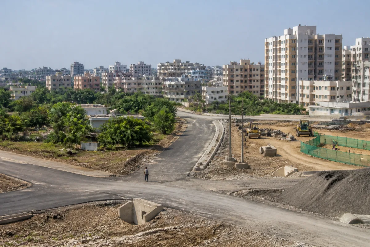
Pune’s development plan for nine villages merged into the municipal corporation in 2017 has reached the final approval stage, with proposed changes to reservations at around 146 locations, zoning provisions and other planning rules. The revised plan is being sent to the state Urban Development Department for final approval after hearings on objections and suggestions were completed.
The revised development plan and its maps are expected to be published for citizens after the required government notification is issued. The exact changes to reservations, road alignments and zones will become clear once the documents are made public, according to information reported by Pudhari.
The villages covered by the plan are the remaining parts of Lohegaon, Uttamnagar, Shivane, the remaining Keshevnagar area of Mundhwa, Sadesataranali in Hadapsar, Ambegaon Khurd, Undri, Dhayari and Ambegaon Budruk. Uruli Devachi and Phursungi have been excluded because separate municipal councils were created for those two settlements.
The draft plan was published in October last year, after which residents were given 60 days to submit objections and suggestions. Hearings were subsequently conducted and changes were proposed based on the representations received. The administration had planned to publish the plan on the first day of Diwali, but the maps could not be released because the necessary government notification had not been issued by Thursday evening.
The planning exercise has taken nearly nine years to reach this stage. A decision to prepare the plan was taken in 2018, but the work was delayed by the retirement of town-planning officials and other administrative difficulties. Following a state government order in 2024, responsibility for preparing the draft was assigned to Abhijit Ketkar, who completed it in 14 months.
The plan has been prepared for an estimated population of eight lakh across approximately 5,500 hectares. Around 374 hectares have been proposed for public facilities, including schools, colleges, hospitals, playgrounds and gardens. About 42% of the area has been proposed for residential use.
The proposed transport network includes roads with widths of 45 metres, 36 metres, 30 metres, 24 metres and 18 metres. These reservations and road proposals will determine how public amenities, access routes and future construction are distributed across the merged areas. However, the source report does not specify which individual reservations or road alignments have been altered following the hearings.
The revised plan is scheduled to be forwarded to the state Urban Development Department for final approval. Its public release and the publication of the accompanying maps are the next stated steps in the process.

