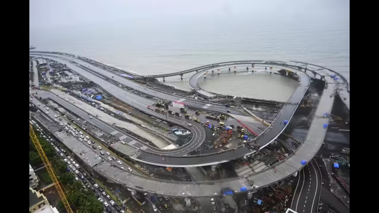
The Mumbai Metropolitan Region is moving towards a more interconnected road system, with plans for two additional ring routes taking the proposed network to nine corridors. Together, the new loops would cover about 307 km across Mumbai, Thane and Navi Mumbai. The strategy is less about building hundreds of kilometres of fresh roads and more about connecting existing and planned infrastructure into continuous regional routes, with 2029 set as the target for full operation. The proposed eighth ring would stretch roughly 197 km between Sewri, Thane and Navi Mumbai. Its alignment would use the Eastern Freeway and its extension towards Thane before linking with the Anand Nagar-Saket elevated road and routes towards Chirle. The Mumbai Trans Harbour Link would complete the loop back to Sewri. The corridor is expected to strengthen links between Thane, Bhiwandi and Navi Mumbai while improving access to freight and logistics zones around the Jawaharlal Nehru Port region.
The ninth ring takes a broader metropolitan approach. Beginning at Nariman Point, the approximately 110-km route would run north through Mumbai’s coastal road network towards Borivali. It would then cross towards Thane through the Thane-Borivali Twin Tunnel before using eastern and southern corridors to reconnect with South Mumbai. The proposed Orange Gate tunnel is expected to provide the final link into the Nariman Point area. For the Mumbai ring road network, the key planning issue is not the headline length but whether the separate infrastructure projects can work as one functioning system. Several links are still under construction or planning. MMRDA will therefore need ramps, interchanges, connectors and redesigned junctions wherever corridors meet. Traffic studies will also determine whether existing stretches, including parts of the Eastern Freeway and Sewri-Worli Connector, require additional capacity.
Both proposed corridors are planned as access-controlled roads with design speeds of up to 80 kmph. Some sections could be tolled. That design could help separate longer-distance regional traffic from local streets, reducing pressure on roads that also serve pedestrians, buses, commercial activity and neighbourhood access. Yet higher road capacity does not automatically translate into lower congestion if new routes generate additional vehicle trips. The Mumbai ring road network could have an even wider economic effect. Better links between residential districts, employment centres, ports and emerging development zones may shorten freight journeys and expand the practical geography of the MMR’s labour and property markets. At the same time, land-use planning will need to keep pace so that new connectivity does not encourage unplanned development along sensitive or poorly serviced corridors.
The proposed network brings together projects being delivered by multiple agencies. Its success will therefore depend on coordination, funding, land availability and delivery timelines. For residents and businesses, the real measure will not be the kilometres announced but whether the completed system produces more reliable regional journeys without shifting congestion or environmental pressure elsewhere.