


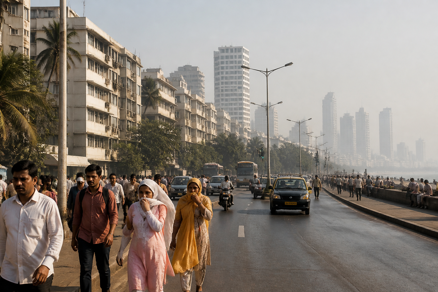
Mumbai’s record October heatwave is not being driven by one local factor. The city’s unusually high temperatures are emerging from the interaction of an early monsoon withdrawal, dry northwesterly winds, a regional anticyclonic system and the delayed arrival of the sea breeze that normally moderates daytime heat. The result is a coastal city experiencing temperatures more commonly associated with a sharper post-monsoon transition.
The India Meteorological Department has placed Mumbai, Thane and Palghar under a heatwave because the city’s temperatures have risen well above the October norm. Mumbai’s Santacruz observatory recorded 38 degrees Celsius on October 11, 4.9 degrees above normal. That was the hottest October day recorded there since 2015, when the temperature reached 38.6 degrees on October 17. The suburban station then recorded 38.2 degrees the following day and 38 degrees the day after that.
Those figures are significant because 38 degrees is not a routine October temperature for Mumbai. Apart from 2015, the city had reached that mark only once in the previous 11 years, when temperatures touched 38 degrees in October 2018. The sequence of high readings therefore points to an unusual heat spell rather than a single isolated afternoon.
What makes the episode particularly important for understanding Mumbai is that the immediate cause lies partly outside the city. An anticyclonic system over southwest Madhya Pradesh and Gujarat has produced clockwise air movement, with winds reaching Mumbai from northwesterly and westerly directions. These winds have travelled from areas including Rajasthan, bringing dry and warm air into the Mumbai region.
Mahesh Palawat of Skymet Weather Services explained that the northerly winds are dry and warm, raising temperatures while delaying the sea breeze. That local breeze is crucial to Mumbai’s daily cooling cycle. When it arrives later than usual, the city loses one of its most important natural mechanisms for moderating daytime heat. The absence of cloud cover has also allowed more direct heating.
This is the first structural lesson from the current heatwave: a coastal location does not provide permanent protection from extreme heat. Mumbai’s relationship with the Arabian Sea usually creates a cooling influence through the sea breeze, but that influence depends on the prevailing wind pattern and the wider atmospheric setup. When dry continental air moves in and the sea breeze is delayed, the city’s coastal advantage is weakened.
The second factor is timing. Mumbai is accustomed to what is locally known as October heat after the southwest monsoon withdraws. During this period, the sun’s rays are less slanted and can produce stronger heating. But this year, the monsoon withdrew on October 3, earlier than the normal withdrawal date of October 10 or 11. That exposed the city to post-monsoon conditions sooner than usual.
An early withdrawal does not automatically produce a heatwave. In this case, however, it created the conditions for high temperatures to persist while regional wind systems reinforced the warming. The absence of cloud cover then made the heat feel more direct. The episode illustrates how several ordinary seasonal processes can combine to create an exceptional urban temperature event.
The report also identifies a possible contribution from a powerful El Niño weather pattern. Meteorologist Mahesh Palawat said El Niño may be one factor behind the early and warmer October heat this year. The supplied evidence does not establish that El Niño alone caused Mumbai’s heatwave. Instead, it places the current event within a wider atmospheric pattern that may be amplifying local and regional conditions.
That distinction matters. Heat events in cities are often described through a single headline number, such as the maximum temperature recorded at an observatory. But the lived experience of heat depends on timing, humidity, wind, cloud cover and the duration of the spell. The current episode combines high daytime temperatures with hot and humid conditions, while the delayed sea breeze removes part of the relief normally available later in the day.
Mumbai’s observatories provide the clearest evidence of the event’s intensity. Santacruz recorded 38 degrees on October 11, followed by 38.2 degrees at the suburban station on October 12 and 38 degrees the next day. Colaba and the suburban areas may not experience identical conditions, but both locations are part of the city’s heat-monitoring system. The difference between island-city and suburban readings is relevant because Mumbai is not climatically uniform, even within a compact metropolitan area.
The heatwave classification covering Mumbai, Thane and Palghar also shows that the event is regional rather than confined to one neighbourhood or one observatory. The same broad atmospheric conditions are affecting neighbouring districts, while Raigad and Ratnagiri have separately received a yellow alert because of the possibility of thunderstorms and gusty winds. This combination of heat, changing winds and possible storms reflects a transitional period in the post-monsoon atmosphere.
The institutional response is centred on monitoring and forecasting. The IMD has issued the heatwave classification and provided the forecast for changing conditions later in the week. The meteorological explanation from Skymet adds detail on the wind pattern and the delayed sea breeze. Together, these inputs show how urban heat information is assembled: observatory readings establish the anomaly, official warnings identify the level of concern, and meteorological analysis explains the atmospheric mechanism.
The expected change in weather also demonstrates why forecasts need to be read as a sequence rather than as a single temperature prediction. The current heat spell is likely to continue until the weekend. From October 17, Mumbai and neighbouring districts may see cloudy skies and one or two spells of rainfall with thunderstorms. A change in wind direction could bring moist south-easterly winds, with maximum temperatures potentially falling to about 35 degrees in suburban Mumbai and 34 degrees in Colaba.
These projected values would represent relief from the 38-degree readings, but they would not mean that the city had returned to a uniformly cool condition. The forecast describes a transition from intense heat towards cloud and possible rainfall. It also carries different implications across the region: Mumbai and Thane had not received alerts at the time of the report, while Raigad and Ratnagiri were under a yellow alert for possible thunderstorms and gusty winds.
The broader urban question is how Mumbai prepares for heat that does not fit the city’s traditional image of a monsoon-dominated coastal climate. The current evidence does not establish a long-term trend by itself, nor does it prove that every future October will resemble this one. It does, however, show that heat risk can rise quickly when seasonal timing, regional circulation and local cooling mechanisms change at the same time.
For residents, the practical significance is that the city’s heat conditions cannot be assessed only by looking at whether the monsoon has ended or whether Mumbai is near the sea. The timing of withdrawal, the direction of incoming winds, cloud cover and the arrival of the sea breeze all influence how heat is experienced. For city institutions, the episode underlines the importance of treating heat as a regional atmospheric event with local urban consequences.
What the evidence confirms is clear: Mumbai’s October heatwave was marked by temperatures significantly above normal, an early monsoon withdrawal, dry and warm winds from the northwestern sector, reduced cloud cover and delayed sea-breeze relief. The immediate forecast pointed to possible improvement after the weekend as winds changed and rainfall returned. What remains less certain is the precise contribution of the wider El Niño pattern. The next important milestone is the forecast change expected from October 17, when cloud cover, thunderstorms and post-monsoon showers could begin easing the heat.

