


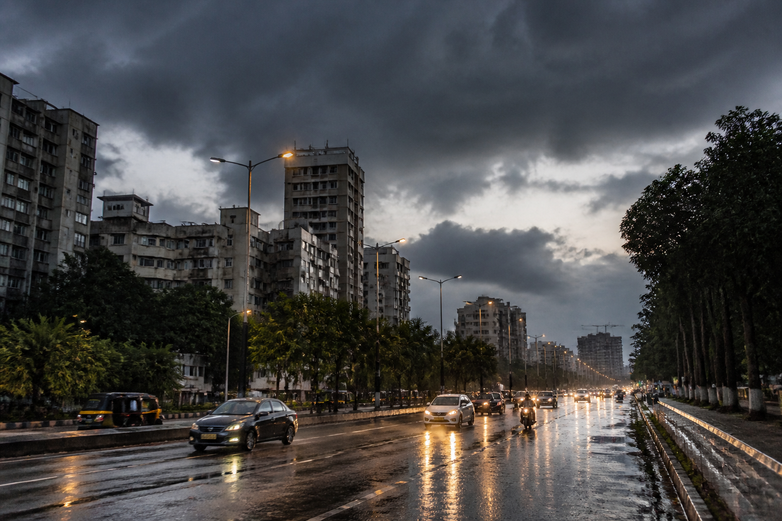
Maharashtra is likely to receive thunderstorms and rain over the next five days as a low-pressure area over the Bay of Bengal moves north-west, even as the southwest monsoon begins its withdrawal and temperatures are expected to rise in several areas.
The monsoon’s retreat from the country began from north-west Rajasthan on September 19, two days later than its average date. While some parts of the country are currently experiencing heavy to moderate rain under the influence of the Bay of Bengal system, much of Maharashtra has remained dry, with rising heat reported in several areas.
The weather department has forecast rain across most parts of Maharashtra on Tuesday, with the impact of the developing system expected to increase on Wednesday. The forecast indicates the possibility of thunderstorms and rain in parts of the state during the next five days.
The late-season rainfall comes after an uneven monsoon across Maharashtra. Heavy rain in July provided relief to several districts, but rainfall weakened again from the beginning of August. The resulting dry conditions have contributed to drought-like circumstances in several parts of the state, according to the report, increasing pressure on farmers.
The withdrawal of the monsoon does not mean that rainfall will stop immediately across the state. Rainfall linked to the Bay of Bengal low-pressure system could provide short-term relief in affected areas, although the distribution and intensity of rain are expected to vary by location. The supplied report does not provide district-wise rainfall totals or details of specific warnings.
The weather pattern is also being watched against the backdrop of strengthening El Niño conditions in the Pacific Ocean. The report links this development with the possibility of higher temperatures and increased discomfort towards the end of September. It does not provide a quantified temperature forecast or establish the specific contribution of El Niño to conditions in individual Maharashtra districts.
For cities, the combination of dry spells, brief intense rain and rising heat can create sharply contrasting conditions within a short period. Urban administrations may have to respond simultaneously to heat exposure, stormwater management and water-supply pressures, although the report does not identify any new municipal measures or emergency advisories.
The immediate forecast remains focused on the movement of the Bay of Bengal low-pressure area and its expected influence on Maharashtra. Rainfall activity is forecast to increase on Wednesday, while the state’s longer-term conditions will depend on the progression of the monsoon withdrawal and subsequent temperature trends.
