


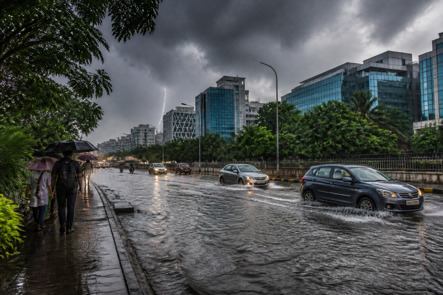
Kolkata rain flooded parts of Salt Lake, including Sector V, on Thursday after an intense afternoon thunderstorm, while the Regional Meteorological Centre warned that thunderstorms could return across the city and south Bengal on Friday during Vishwakarma Puja.
The downpour lasted around one-and-a-half hours and was accompanied by thunder and lightning. Salt Lake recorded more than 50 mm of rainfall. New Town, Lake Town, Dum Dum and Howrah were among the areas that received heavy rain, while the intensity was comparatively lower in parts of southern and central Kolkata.
The storm developed after dense cloud columns, estimated to be 8-12 km high, spread across the city. Parts of Kolkata were plunged into darkness as early as 1.30 pm, with rainfall intensity peaking at around 2 pm, according to the report. The sudden change in conditions disrupted visibility and created waterlogging in areas where drainage systems were unable to clear the rain quickly.
H R Biswas, head of the Regional Meteorological Centre in Kolkata, attributed the thunderstorm to an upper-air trough extending from Sikkim to Odisha across Gangetic West Bengal. He said heating, abundant moisture and differing wind patterns at various atmospheric levels combined to produce intense cloud formation.
In meteorological terms, a trough is an elongated area of low atmospheric pressure. It can lift warm, moist air into an unstable atmosphere, creating conditions for powerful thunderstorms. The system described by the Met office was therefore linked to the immediate rainfall event rather than to a confirmed cyclonic storm.
Biswas said Kolkata and other parts of south Bengal could receive thunderstorms on Friday, although the intensity in the city was expected to be lower than on Thursday. The forecast is significant for public activity because Friday coincides with Vishwakarma Puja, when industrial areas, workshops, commercial establishments and neighbourhood venues typically see increased movement and gatherings.
The Met office also addressed discussions on social media about a possible cyclone. Biswas said an upper-air cyclonic circulation was present over north Thailand, but it was not certain whether the system would intensify into a cyclone. According to the report, the system was expected to emerge over the northern Andaman Sea and could support the formation of a low-pressure area by Saturday.
There was also an indication that the system could intensify and move towards south Odisha and north Andhra Pradesh. However, Biswas said a clearer assessment of whether it could develop into a cyclone was expected only by Sunday or Monday. He added that no major weather system, apart from the existing conditions, was currently expected to alter Kolkata’s rainfall pattern.
The latest spell follows a month in which Kolkata recorded rain on 10 of the first 17 days of September, according to the report. A three-day dry spell before Thursday’s storm had pushed the city’s maximum temperature above normal, setting up a combination of heat and moisture that supported renewed thunderstorm activity.
For residents and city agencies, Thursday’s flooding in Salt Lake remains the immediate operational concern. Further thunderstorms could again affect road travel, drainage-sensitive areas and outdoor events, while the forecast and the developing system over the Andaman Sea will be reassessed by the Regional Meteorological Centre over the next several days.
