


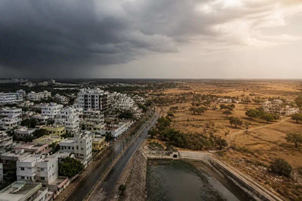
Karnataka’s northeast monsoon has produced a sharply uneven rainfall pattern between 1 October and 11 November, with Bengaluru and parts of the coastal and Malnad regions receiving normal rainfall while much of central and northern Karnataka recorded severe deficits. The distribution is more than a seasonal weather story: it reveals how differently the state’s urban centres, smaller towns and rural-urban corridors are entering the next phase of the water cycle.
Data released by the Karnataka State Disaster Management Centre, as reported by Prajavani, shows that seven districts received rainfall within the normal range during the period. Ten districts faced a rainfall deficit, while 14 recorded a severe deficit. The pattern places Bengaluru city among the relatively better-served districts, even as several districts that depend on more limited water infrastructure received only a fraction of their usual rainfall.
The contrast is particularly visible across the state’s main urban and economic regions. Udupi recorded 246 millimetres, Dakshina Kannada 326 mm and Kodagu 241 mm. Bengaluru Urban and Hassan each recorded 153 mm, Mysuru received 183 mm and Kolar 138 mm. These figures indicate that the southern and coastal parts of the state did not experience the same level of rainfall stress during the six-week period.
That relative advantage, however, is not evenly distributed even within southern Karnataka. Chamarajanagar recorded 153 mm but remained 25 per cent below normal. Mandya received 126 mm, a deficit of 31 per cent, while Bengaluru South recorded 143 mm, 24 per cent below normal. Chikkaballapur recorded 100 mm, 42 per cent below normal, and Bengaluru Rural received 116 mm, 35 per cent below normal. Tumakuru and Chikkamagaluru recorded deficits of 29 per cent and 38 per cent respectively.
The figures show why district-level averages matter for urban planning. Bengaluru Urban may have recorded 153 mm and been listed among the districts with normal rainfall, but neighbouring Bengaluru South and Bengaluru Rural faced deficits. Water systems, transport corridors and expanding settlements do not stop at district boundaries. A rainfall pattern that appears adequate for one administrative unit can coexist with stress in the adjoining areas that share roads, employment markets, groundwater systems and, in some cases, water sources.
The divide becomes more severe in central and northern Karnataka. Shivamogga recorded 85 mm, 49 per cent below normal, while Uttara Kannada recorded 71 mm, a 55 per cent deficit. Dharwad received 54 mm, also 55 per cent below normal. Chitradurga recorded 40 mm and Davanagere 41 mm, with deficits of 69 per cent and 68 per cent respectively. Vijayanagara received 25 mm, an 80 per cent deficit, while Haveri recorded 35 mm, 73 per cent below normal.
The most severe shortfalls were concentrated across several northern districts. Ballari received 27 mm, an 80 per cent deficit, and Gadag received 22 mm, 82 per cent below normal. Koppal recorded 15 mm, 88 per cent below normal, while Raichur received 13 mm, a 90 per cent deficit. Yadgir received 11 mm and was 91 per cent below normal. Bidar and Vijayapura each recorded only 4 mm, with deficits of 96 per cent. Kalaburagi recorded 13 mm and Bagalkot 9 mm, representing deficits of 88 per cent and 92 per cent.
For cities and towns, the immediate significance of such a pattern is not limited to rainfall totals. Rain is an input into a connected urban system that includes reservoirs, local lakes, groundwater recharge, stormwater drains and household water supply. The supplied district data does not establish the condition of each of these systems, but it does show that the water outlook is being shaped by highly unequal geographic conditions rather than by a single statewide trend.
This distinction is important for administrative response. A statewide description of a good or weak northeast monsoon can conceal the very different tasks facing district administrations. In districts with normal rainfall, the focus may be on managing storage, drainage and the use of available water. In districts with severe deficits, the immediate concern is likely to be the adequacy of existing reserves and the capacity of local systems to manage prolonged rainfall uncertainty. The source data does not specify what measures have been ordered by individual administrations, so the next steps remain an area requiring official clarification.
The numbers also complicate the assumption that Bengaluru’s rainfall position can be used as a proxy for Karnataka’s wider water conditions. Bengaluru Urban recorded 153 mm, but the surrounding districts did not share the same outcome. Bengaluru South was 24 per cent below normal and Bengaluru Rural 35 per cent below normal. This matters because the metropolitan region is not a single hydrological or administrative unit. Its growth extends across multiple jurisdictions, while its roads, housing developments, industrial areas and commuting networks connect places that can experience different rainfall conditions.
The same issue is visible in the relationship between coastal, Malnad and interior districts. Udupi and Dakshina Kannada recorded 246 mm and 326 mm, while northern interior districts such as Vijayapura and Bidar recorded just 4 mm each. Kodagu received 241 mm, but neighbouring or nearby districts did not necessarily record comparable levels. The data therefore points to a fragmented rainfall geography in which regional averages can hide sharp local contrasts.
For infrastructure planning, this raises two separate administrative questions. The first is whether areas receiving heavy or normal rainfall have sufficient systems to retain, channel and use that water. The second is whether deficit districts have enough contingency capacity to maintain essential urban and rural services when rainfall falls far below normal. The supplied report does not provide reservoir levels, groundwater measurements, municipal supply data or details of tanker dependence. Without those indicators, the rainfall figures cannot by themselves measure the severity of water stress, but they identify where closer monitoring is required.
The data also underlines the limits of treating rainfall as a uniform seasonal input. Between 1 October and 11 November, the difference between the highest and lowest reported district totals was substantial: Dakshina Kannada recorded 326 mm, while Bidar and Vijayapura recorded 4 mm. That is an 81-fold difference in reported rainfall totals. The deficits ranged from 24 per cent in Bengaluru South to 96 per cent in Bidar and Vijayapura. Such variation creates different planning conditions within the same state and the same monsoon season.
The public significance extends beyond agriculture, although the source report is primarily a rainfall assessment. Karnataka’s towns and cities depend on infrastructure that must function through both excess water and shortage. Drainage capacity, local storage, water distribution and road maintenance are all affected by the timing and location of rainfall. A district that receives little rain may face pressure on supply systems, while a district with higher rainfall may still face problems if water is not captured or if intense events overwhelm drainage. The available information confirms the uneven rainfall pattern but does not establish which of these outcomes has occurred in each district.
That limitation is central to reading the report responsibly. Rainfall deficit is not the same as a quantified municipal water shortage, and normal rainfall is not proof that every settlement has adequate supply. The next layer of public information would need to connect the rainfall data with reservoir storage, groundwater levels, drinking-water arrangements, lake levels and district-level response plans. Those indicators would show whether the rainfall divide is translating into a service divide.
For now, the clearest conclusion from the Karnataka State Disaster Management Centre data is that the northeast monsoon has not delivered a common statewide experience. Bengaluru, the coast and parts of the Malnad region have received comparatively better rainfall, while central and northern districts have faced deficits as high as 96 per cent. The developments that deserve monitoring are district-level water availability, official contingency measures and whether neighbouring jurisdictions coordinate their response across a rainfall pattern that ignores administrative boundaries.

