


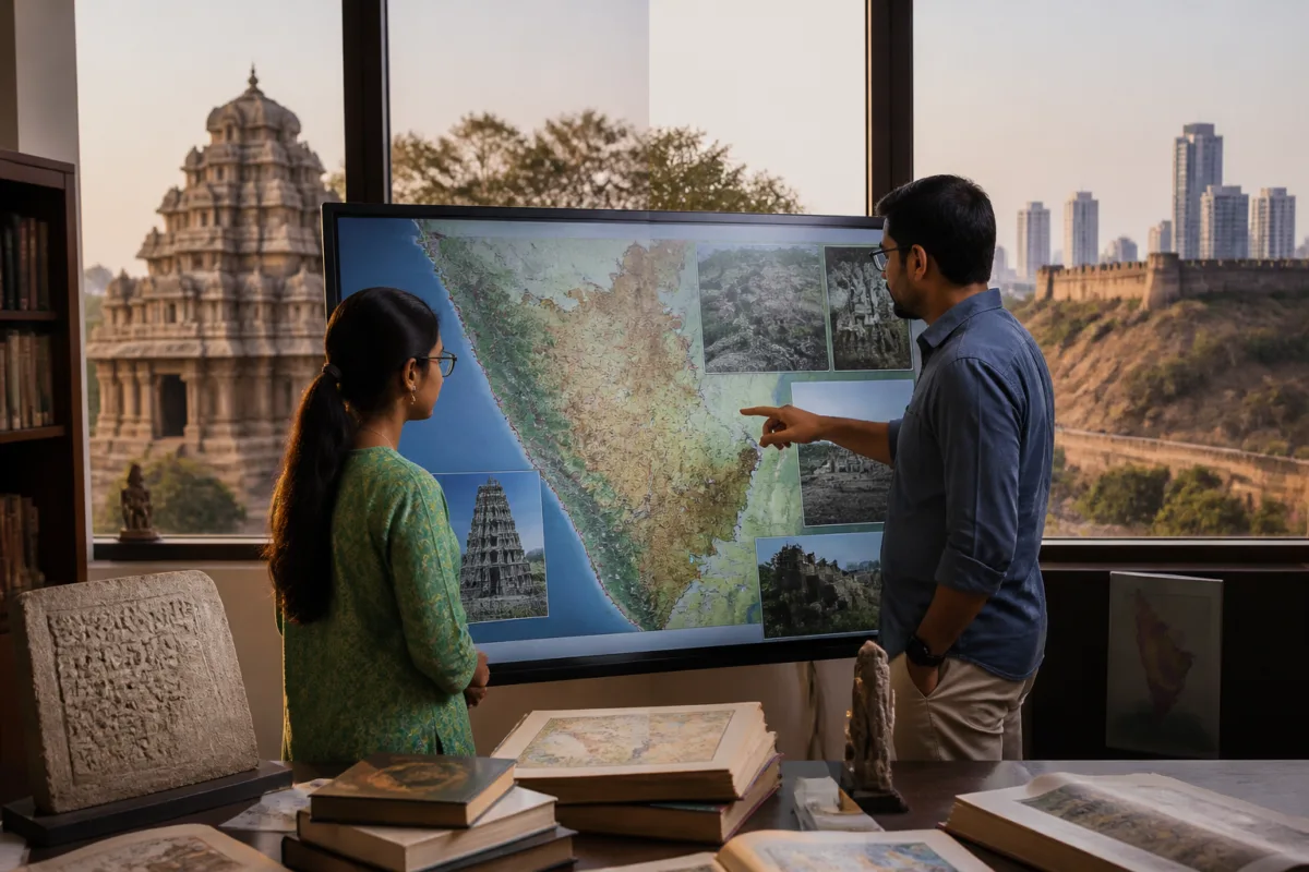
The Karnataka Historical Atlas, a Kannada-first digital platform developed in Bengaluru, is doing more than placing temples, battle sites and inscriptions on an online map. It is testing whether a state’s history can be organised as a public, searchable landscape—one that connects monuments and manuscripts to districts, dynasties, geography, education and the people who live around these sites.
Developed by Sanchaya, a non-profit initiative working at the intersection of the Kannada language, technology and cultural preservation, the atlas allows users to navigate Karnataka’s past through maps, timelines and curated historical resources. Its categories include dynastic maps and timelines, guided historical story routes, Karnataka’s connections with the wider world, geography and natural history, prominent personalities, the freedom movement and district histories.
That structure matters because historical information is often encountered in fragments. A temple may be treated as an isolated monument, an inscription as a specialist source and a battle as a date in a textbook. The atlas attempts to connect these fragments spatially and chronologically. Users can locate temples, inscriptions, royal emblems, artefacts, battle sites, forts, palaces, museums, archives, libraries and historical gardens, while also following references that extend beyond Karnataka’s present administrative boundaries.
The platform therefore sits at an important intersection between heritage preservation and the way cities and regions understand themselves. A map is not only a visual interface. It determines what can be found, compared and connected. By bringing historical sites and resources into one navigable system, the atlas offers a way to view Karnataka as a network of places shaped by political change, cultural exchange, literary production, ecology and movement across time.
The initiative’s stated approach is also different from a conventional digital catalogue. Omshivaprakash HL, founder of Sanchaya, said the portal contains “verifiable and citable resources from various sources”. The platform draws on historical publications and official records, including Epigraphia Indica, Carnatica, volumes of Ithihasa Darsha published by Karnataka Itihasa Academy, and books digitised through Sanchaya’s Servants of Knowledge initiative.
Records are accompanied by sources and their review status wherever available. That feature is significant for a public history project. A map without sources can make historical information appear authoritative without showing how it was established. By identifying references and review status, the atlas creates at least the basis for users to distinguish between a documented record, a contribution requiring further review and an interpretation that may need additional research.
The distinction is particularly important when historical information is attached to real places. Sites mapped as monuments, inscriptions or battle locations are not abstract points. They may be located within villages, towns, growing cities or landscapes facing redevelopment and infrastructure pressure. The atlas does not, according to the supplied material, function as a statutory heritage register or a planning instrument. But its location-based structure could make relationships between historical resources and their surrounding geography easier for students, researchers and local communities to examine.
This is where the project’s public value extends beyond digitisation. Sanchaya’s stated aim is to help users understand how a place, person, inscription, literary work or historical event relates to a particular period and region, rather than merely memorising dates. That changes the basic unit of learning from a disconnected fact to a relationship between place, time and evidence.
For schools and colleges, the atlas can support history and social science lessons, district history projects, heritage walks, quizzes and research assignments. These uses are not presented as a replacement for formal curricula. Omshivaprakash described the atlas as a research and learning companion, not a substitute for prescribed textbooks. Its role is therefore supplementary: it can help users move from a classroom reference to a place-based investigation.
The education angle is also connected to language access. The project is designed first in Kannada and includes an English interface. The founder said the initiative had received requests for additional languages. This positioning recognises that a digital resource can be technically open but still inaccessible if its primary language does not match the communities, students and local researchers expected to use it.
Language is especially consequential in historical research because records, place names and cultural references do not always travel cleanly across translations. A Kannada-first interface can support discovery among users who may not routinely search English-language databases. At the same time, the English interface can provide a bridge for wider research and comparison. The platform’s multilingual direction remains an ongoing request rather than a completed feature, according to the report.
Sanchaya’s institutional history is relevant to understanding the atlas. Founded in 2010, the organisation has worked to make Kannada literary and historical resources accessible through technology and digitisation. The historical atlas is therefore not an isolated product announcement but an extension of a longer effort to connect language resources, historical material and digital access.
Its open-source, open-data and open-knowledge model further changes the relationship between creator and user. Students, researchers, teachers, educational institutions and members of the public are invited to contribute. The project is described as an ongoing experiment, with public feedback, corrections and additional sources expected to improve it over time.
That model can widen participation, but it also makes documentation and review central to the platform’s credibility. The supplied report does not establish the total number of mapped records, the verification rate across categories, the editorial process for accepting contributions or the institutional arrangements for long-term maintenance. These are not minor technical details. They will determine how confidently the atlas can be used for research, teaching and public interpretation.
The platform also raises a broader governance question: who gets to organise the historical geography of a state? Conventional heritage information is often distributed across government departments, archives, museums, universities, local institutions and private publications. A public digital map can make these scattered resources more visible, but it cannot by itself resolve gaps in official records, conflicting interpretations or uneven documentation between districts.
The atlas’s references to Karnataka’s connections beyond its current geographical boundaries are important in this context. Present-day administrative maps can make history appear confined within modern state borders, even when dynasties, trade, literature, religious networks and political conflicts crossed them. Mapping those connections can provide a more layered account of the region, although the supplied material does not detail the extent or method of this cross-border documentation.
For urban readers, the most useful shift may be from seeing heritage as a list of protected structures to seeing it as a connected spatial system. The atlas includes not only temples and monuments but also archives, libraries, museums, gardens, inscriptions, royal symbols and cultural figures. Together, these categories suggest that historical value can be distributed across many kinds of places and records, not only the most visible landmarks.
The Karnataka Historical Atlas consequently represents a promising public-infrastructure experiment for knowledge rather than transport or utilities. Its success will depend on whether the map remains source-led, transparent about review status, accessible across languages and open to sustained contributions. The project establishes a new way to explore Karnataka’s past; what remains to be seen is how its users, institutions and contributors develop that map into a durable research and learning resource.

