


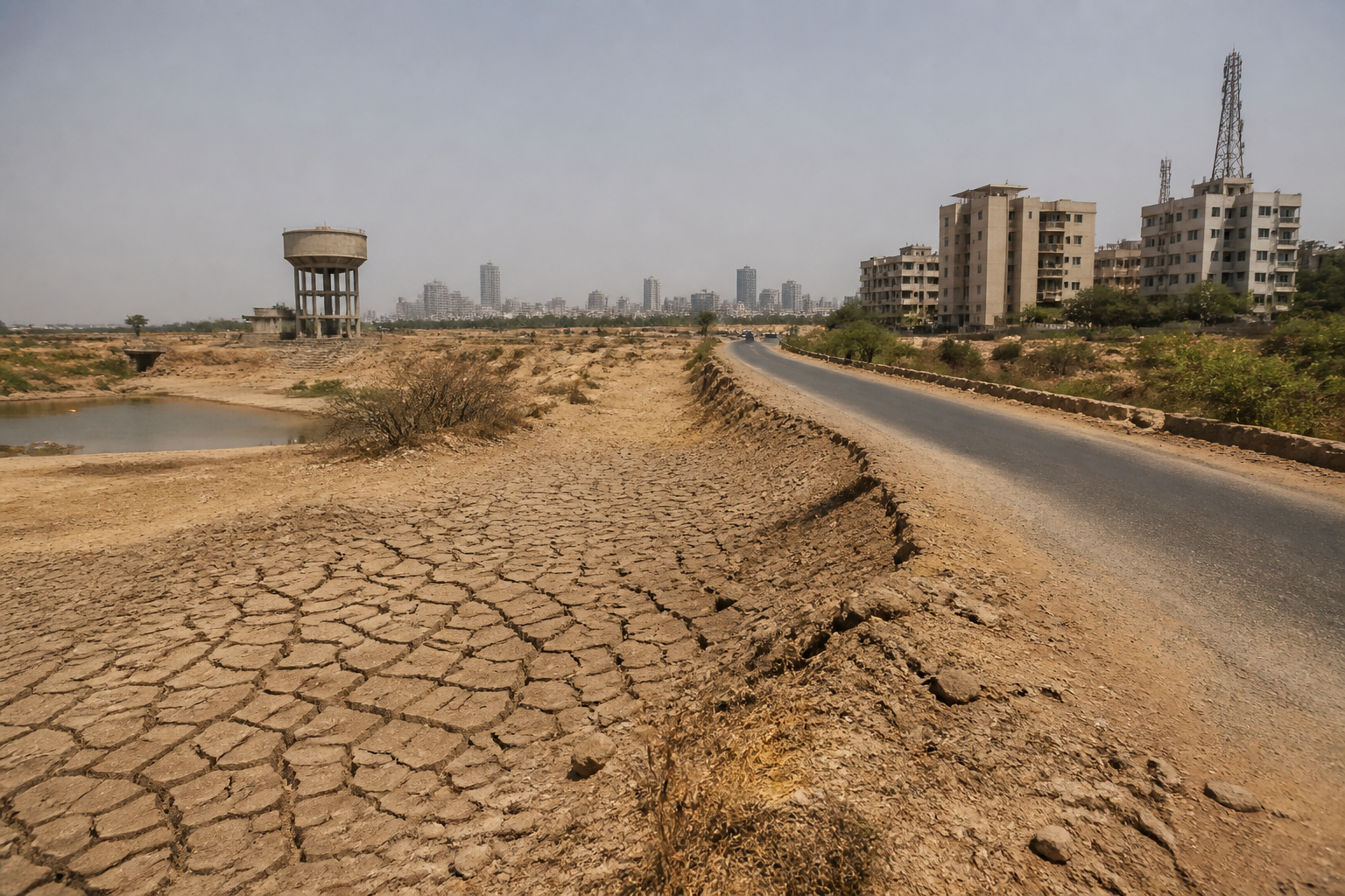
A new India climate extremes study covering 1971 to 2022 shows that the country’s exposure to heat and drought is becoming broader and more connected. Southern India is drying fastest, the eastern coast contains the most persistent drought hotspots, and the northwest has emerged as the country’s heat epicentre. Together, these findings point to a shift from isolated climate hazards to larger regional patterns that urban systems will have to accommodate.
The study, titled “Evolution of Climate Extremes Over the Indian Subcontinent Using a Revised CEI”, was published in the peer-reviewed International Journal of Climatology and made public on Friday. It was conducted by researchers from the India Meteorological Department, Atria University in Bengaluru and the National Centre for Medium Range Weather Forecasting.
Its importance lies not only in identifying which regions are becoming hotter or drier. The analysis describes how the geography of risk has changed over five decades. According to the study, land affected by temperature extremes expanded by 20 per cent to 40 per cent per decade across central and northwestern India between 1971 and 2022. Areas that appeared as scattered hotspots in the 1980s had developed into broad, continuous zones of heat stress by the 2010s.
That transition changes the planning problem. A scattered hotspot can be treated as a local emergency or a seasonal operational issue. A connected zone of heat stress crosses administrative boundaries and can affect several urban regions, transport networks, water systems and settlements at the same time. The material supplied with the study does not quantify those urban impacts, but its description of expanding and connected extremes establishes why climate planning cannot remain confined to individual cities or short-term disaster response.
The study identifies southern India as the fastest-drying region. It also places the most persistent drought hotspots along the eastern coast. These findings are geographically significant because they distinguish between the direction of change and the persistence of the hazard. Drying fastest does not necessarily mean that every location in southern India has the country’s most persistent drought conditions. The study instead presents different parts of the country as facing different patterns of climate stress.
This distinction matters for public administration. A region experiencing rapid drying may need close monitoring of water availability and changing seasonal conditions, while a region facing persistent drought may require long-term planning around recurring shortages. The supplied report does not provide city-level rainfall, reservoir, groundwater or water-demand data, so it cannot establish how individual municipalities are performing. It does, however, show that a single national response would risk overlooking regional differences in the form and duration of climate pressure.
The northwest’s emergence as India’s heat epicentre adds another layer to the picture. The study reports the strongest trends there in daytime temperature, humid heat and heatwave severity. Heat is therefore not represented only as a rise in average temperature. The analysis tracks several forms of exposure, including conditions that affect how the human body experiences heat and the severity of heatwave events.
For cities, that broader definition is important. Urban heat planning cannot be reduced to measuring daytime temperature alone. The study’s findings suggest that heat risk must be understood through multiple indicators, even though the supplied material does not give city-specific readings or health outcomes. The difference between temperature, humid heat and heatwave severity can shape how authorities assess risk, issue warnings and plan services, but the article does not provide details of any particular municipal heat action plan.
The study’s five-decade timeframe also changes how climate extremes should be read. A single hot season or drought year can trigger immediate concern, but the study looks for a longer-term evolution from 1971 to 2022. Its central finding is that heat and drought extremes are covering more of the country and are no longer confined to a few isolated pockets.
Dr M Rajeevan, a co-author and former secretary at the Ministry of Earth Sciences, said in a statement: “What stands out over five decades is not just that India is warming, but that heat and drought extremes are covering more and more of the country. They have moved from a few pockets to large, connected regions, and that is a different order of risk to plan for.” His observation captures the study’s institutional significance: the challenge is not simply a higher intensity of events, but a larger spatial footprint.
The institutional composition of the research is relevant to how its findings may be used. The study brings together the India Meteorological Department, Atria University and the National Centre for Medium Range Weather Forecasting. The supplied report identifies the research as peer-reviewed and published in the International Journal of Climatology. It does not describe a government notification, funding decision or implementation framework linked to the study. The evidence therefore supports treating it as a significant assessment of climate extremes, not as a new policy announcement.
That distinction is important for governance. Research can identify the changing pattern of risk, while implementation depends on decisions by different authorities responsible for water, health, land use, housing, transport and emergency management. The report does not specify which agencies will act on the findings or whether any new national or state measures have been announced. What it does provide is a clearer basis for asking whether planning systems still match the geography of current hazards.
The data story is the change in scale. The study reports a 20 per cent to 40 per cent per decade expansion in the land area affected by temperature extremes across central and northwestern India between 1971 and 2022. It also compares the 1980s with the 2010s, describing a movement from scattered hotspots to broad, continuous zones of heat stress. Those figures and comparisons indicate that the affected area, rather than only the intensity of individual events, is a central part of the evidence.
The source material does not provide the total land area affected, a state-by-state breakdown, city rankings or a comparison of urban and rural exposure. It also does not state how the revised Climate Extremes Index was calculated beyond naming the study. Those gaps limit the conclusions that can be drawn about specific cities. The evidence is strong enough to establish a national and regional trend, but not to determine which municipality faces the greatest operational burden.
For the built environment, the larger question is whether urban infrastructure is being planned for the conditions that are emerging across regions rather than those recorded in older design assumptions. Heat stress that expands across connected areas can complicate the operation of public services and the daily functioning of cities. Persistent drought along the eastern coast and faster drying in southern India raise separate questions about water planning. The supplied study does not answer those questions, but it identifies the geographic patterns that make them unavoidable for urban authorities.
The findings also challenge a narrow definition of resilience. If heat and drought remain isolated, authorities can treat them as separate local hazards. If they expand and become connected, resilience becomes a coordination problem across cities and administrative borders. The source does not document such coordination efforts, so their existence or effectiveness cannot be assessed here. The evidence does establish that the hazard geography is becoming large enough for regional planning to matter.
The study confirms three distinct patterns: southern India is drying fastest; persistent drought hotspots are concentrated along the eastern coast; and the northwest shows the strongest trends in daytime temperature, humid heat and heatwave severity. It further reports that the area affected by temperature extremes across central and northwestern India expanded by 20 per cent to 40 per cent per decade between 1971 and 2022.
What remains unclear from the supplied material is how these national and regional patterns translate into specific urban impacts, infrastructure costs, water-system performance or public-health outcomes. Those questions require city-level data and details of government responses. The next important test for policymakers will be whether planning institutions use this evidence to distinguish between rapidly drying regions, persistent drought zones and areas facing increasingly severe heat, rather than treating India’s climate risk as a single uniform problem.
