


The Siddipet district administration is set to examine replies from landowners accused of encroaching on government land in Survey No. 325 at Erravelli, where the farmhouse of former Telangana chief minister K. Chandrashekar Rao is located. Officials have issued notices to 180 landowners and will begin the next stage of the process on Monday.
The survey concerns 388.05 acres classified as ‘gairan’ government land in revenue, or sethwar, records. The administration has said that land found to have been encroached upon will be recovered and handed over to families from the Dalit community.
The action follows a directive from Chief Minister A. Revanth Reddy. Siddipet district collector K. Haimavathi directed officials to identify the alleged encroachers and verify the claims made by pattadars and cultivators in the area. The administration has asked landowners and cultivators to remain present at their agricultural holdings during the ‘enjoyment survey’ scheduled for September 21.
Some landowners have already prepared documents to support their claims, according to officials. A few farmers presented pattadar passbooks while receiving the notices. A senior officer told Deccan Chronicle that records submitted by cultivators would be considered by the survey teams.
The proceedings have been initiated under the Survey and Boundaries Act, 1923. The Siddipet district survey and land records authorities issued proceedings numbered A1/516/2026 on September 17 for the enjoyment survey. The notices and field verification will determine whether the land being cultivated or occupied corresponds with the rights claimed by the occupants.
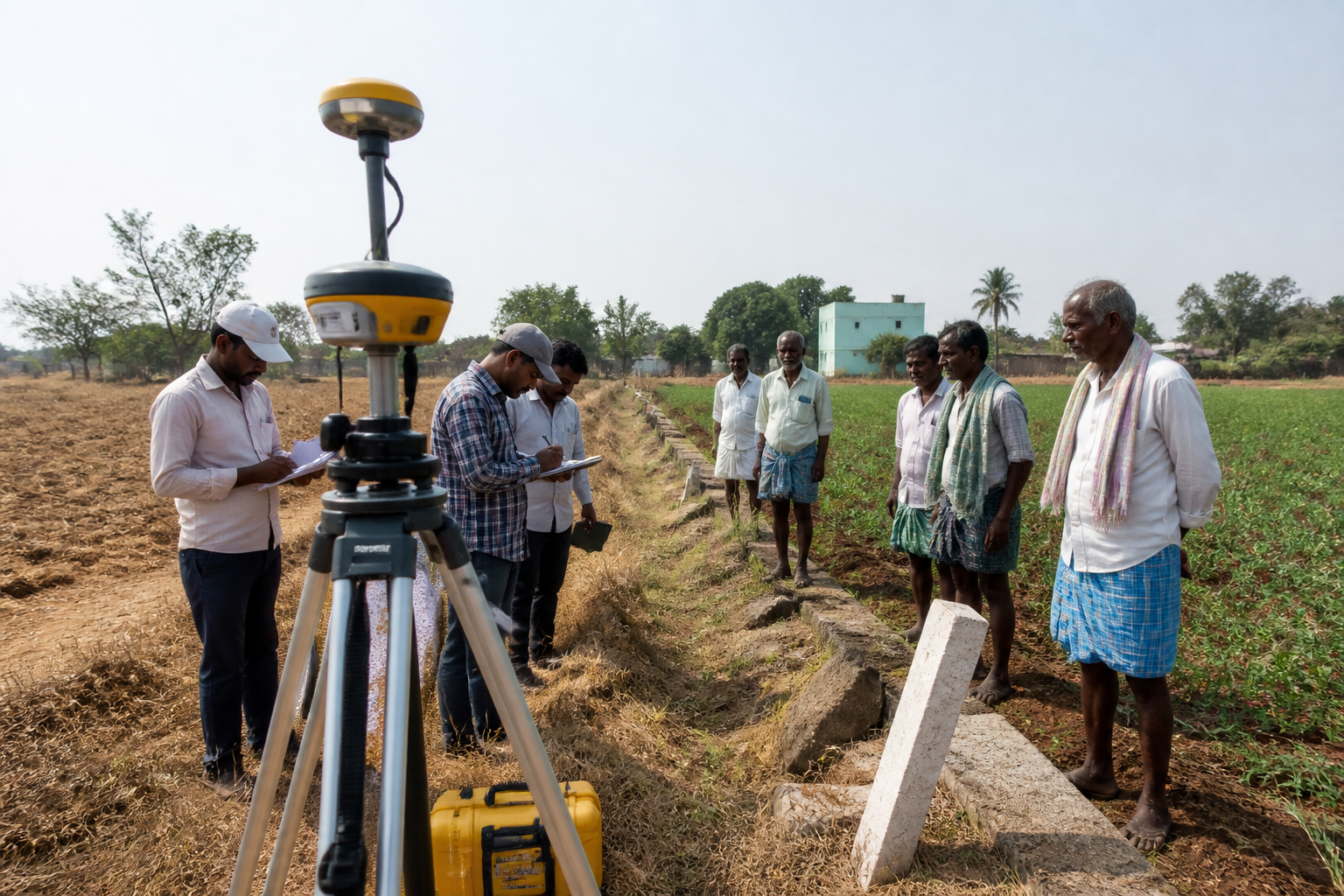
Officials said the administration had completed a Differential Global Positioning Survey, or DGPS, to identify the boundaries of the government land in Erravelli. The technology-based boundary exercise is expected to provide the reference for comparing official land records with the physical occupation and cultivation on the ground.
The survey comes amid a broader administrative process involving the classification, possession and use of government land. The immediate question for the district authorities is whether the land identified in official records as gairan has been occupied without valid rights, or whether landowners can establish claims through recognised documents. The administration’s stated position is that valid records will be examined before decisions are taken.
The district administration has not announced the final extent of land to be recovered or identified individual occupants as encroachers at this stage. Those findings are expected to follow the examination of replies, field measurements and documentary claims submitted by the affected landowners and cultivators.
